
Would you like to go with me to the Marker Wadden, my youngest brother asked me during my recent visit to the Netherlands. The Marker Wadden? I knew about the Wadden Islands and the Wadden Sea, but had never heard about the Marker Wadden.
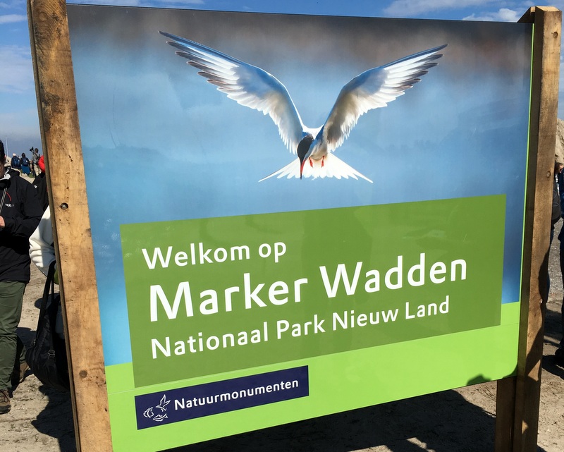
He explained to me that it was a project of Natuurmonumenten, the Dutch Nature Society, to create a number of artificial islands in the Markermeer.
Ok, I knew about the Markermeer. Have a look at the left map, taken from the informative Zuiderzee Works entry in Wikipedia. After closing the Zuiderzee with the Afsluitdijk in 1932, it was renamed IJsselmeer, and gradually changed from a salt water lake into a fresh water one. Large parts of the lake were reclaimed to form polders. The original plan was to reclaim also the Markermeer, and a dike, the Houtribdijk, was already built between 1963 and 1975.
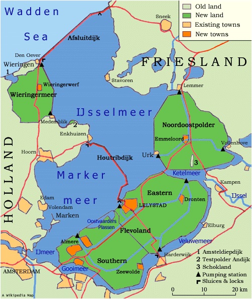
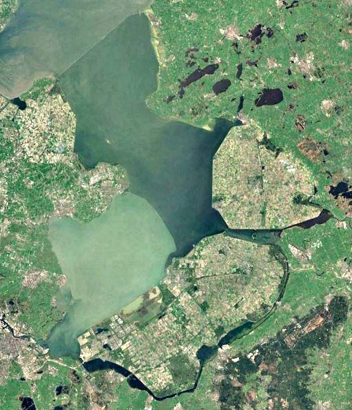
But the reclamation plans changed, and in 1986 it was decided that the Markermeer will remain a lake. When you look at the right picture, a Google Earth map of the same region, you will notice the different color of the water in the Markermeer. Because the lake is separated by a dike from the IJsselmeer, there is a lot of siltation, resulting in turbid water. This has a negative impact on the aquatic flora and fauna.
In 2012 Natuurmonumenten, with other partners, presented an ambitious plan, to create a couple of artificial islands in the Markermeer, using sand and silt from the bottom. The islands will not be used for human habitation, but will become a bird sanctuary.
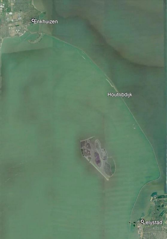
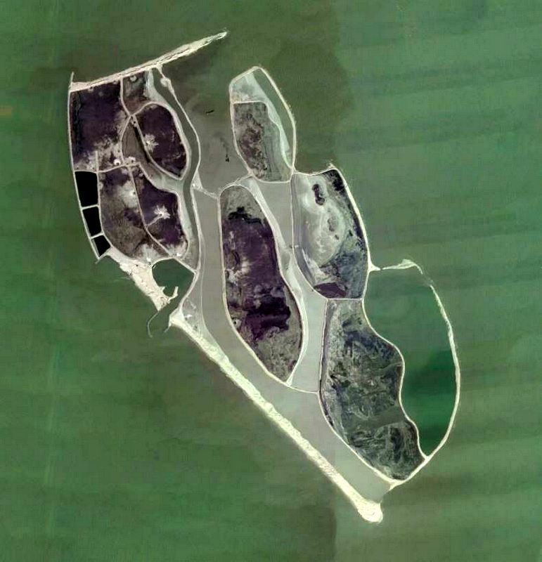
The project has been accepted and is now in progress, with support of several sponsors. In the left picture you can see the location of these Marker Wadden relative to the Houtribdijk. The right images shows more details, the north-west island has a harbour and some infrastructure (footpaths and walkways), this island will be accessible to the public (but only if you have your own boat!). The other islands will be strictly nature reserves.
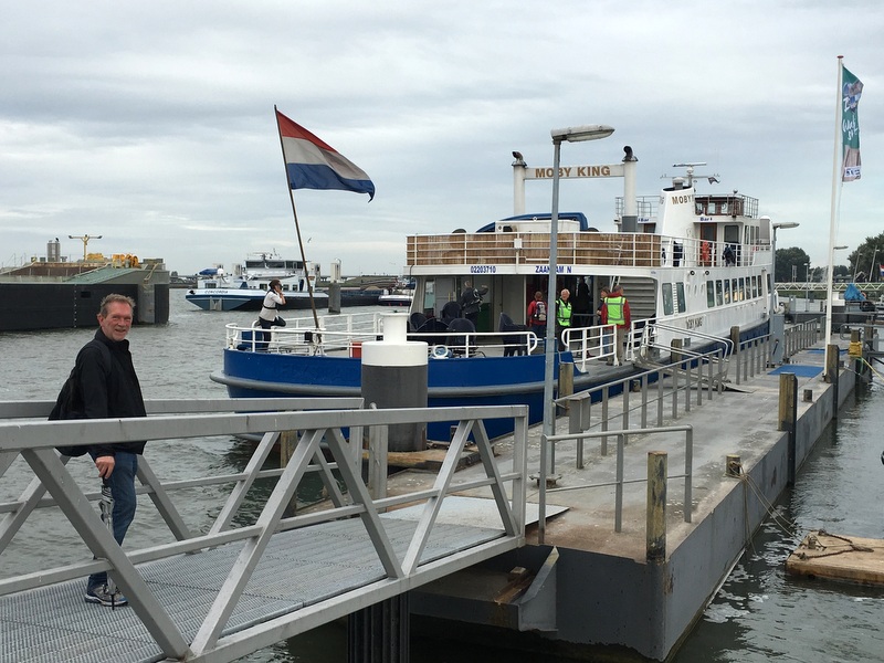
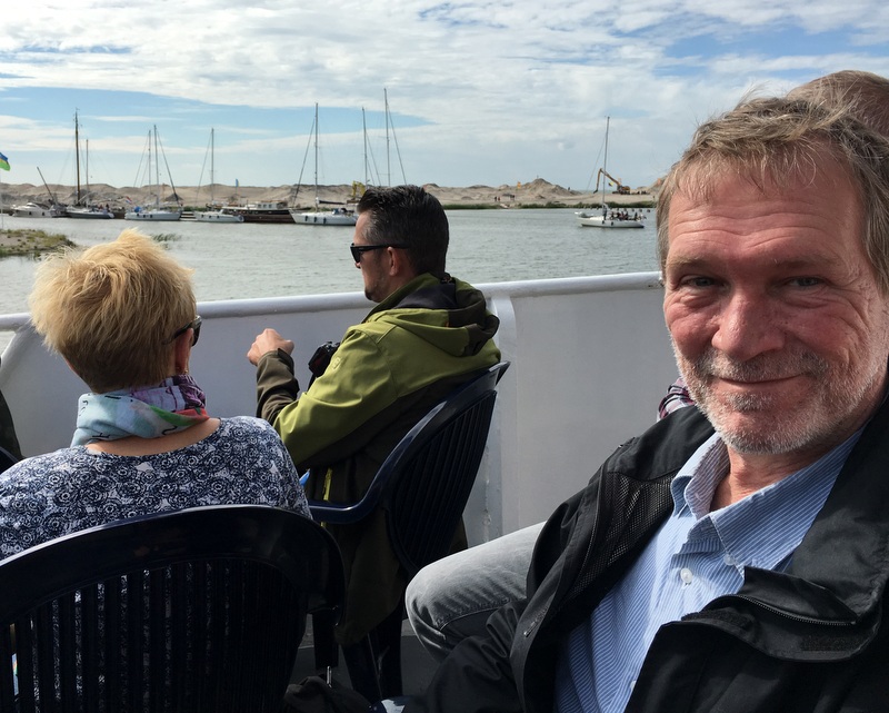
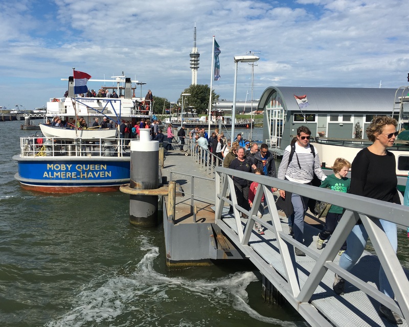
To show these Marker Wadden to the general public, Natuurmonumenten organised a temporary ferry service during the weekend of 8-9 September and my brother bought tickets, for of course I eagerly accepted his invitation…:-)
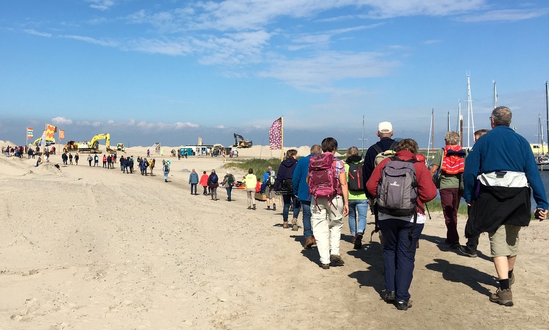
The ferry left from the Bataviahaven in Lelystad. We arrived early, so we could have a nice seat and a cup of coffee. Many interested people, often armed with binoculars and cameras.
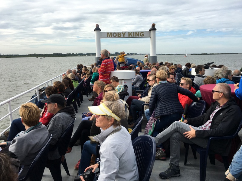
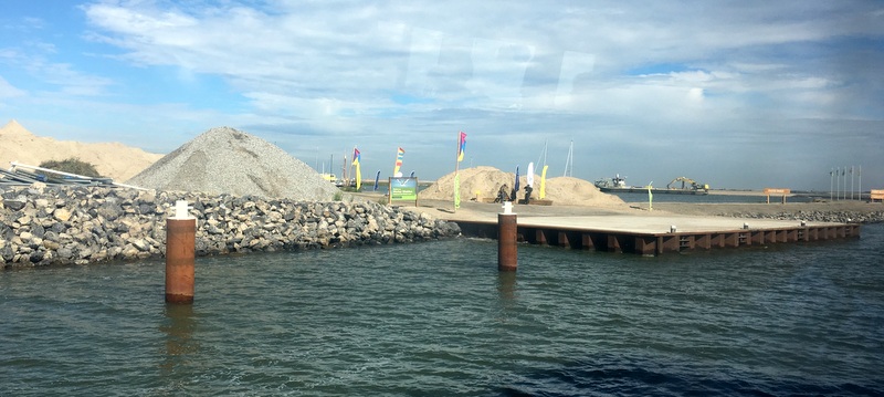
After about 45 minutes we arrived at the jetty of the Marker Wadden
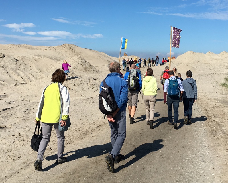
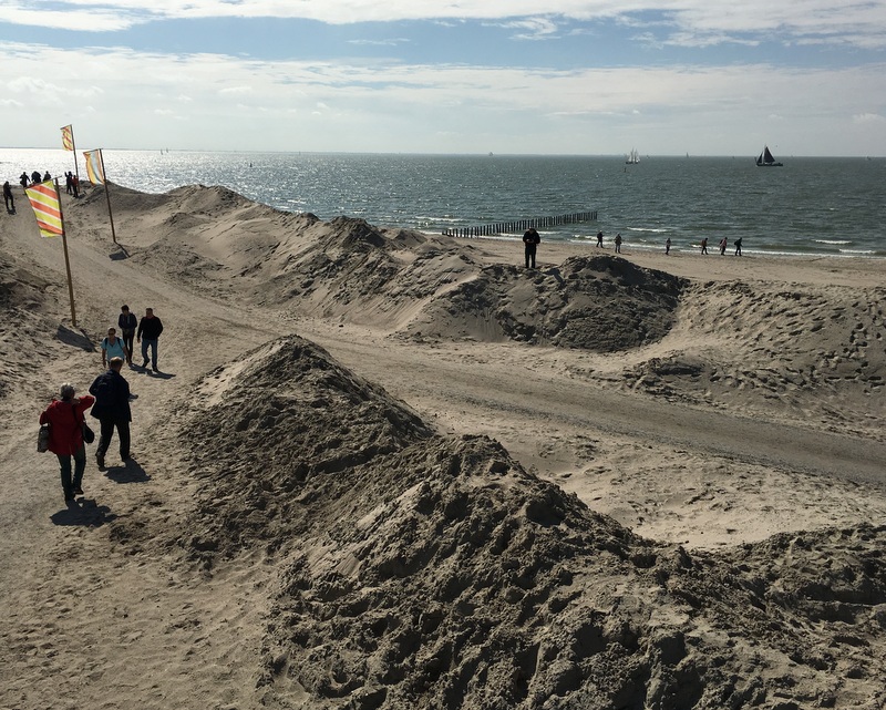
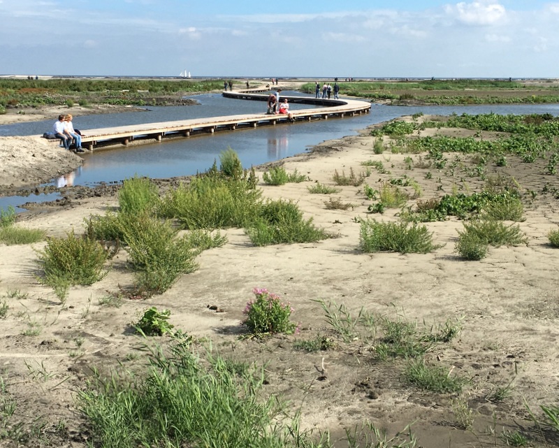
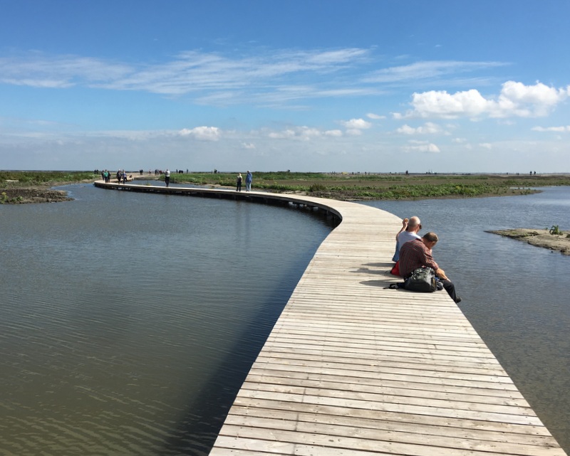
There were two walking routes on the island, 2.5 km and 6 km. We took the shorter one. At the start it looked like a crowd, but it spread out quite fast.
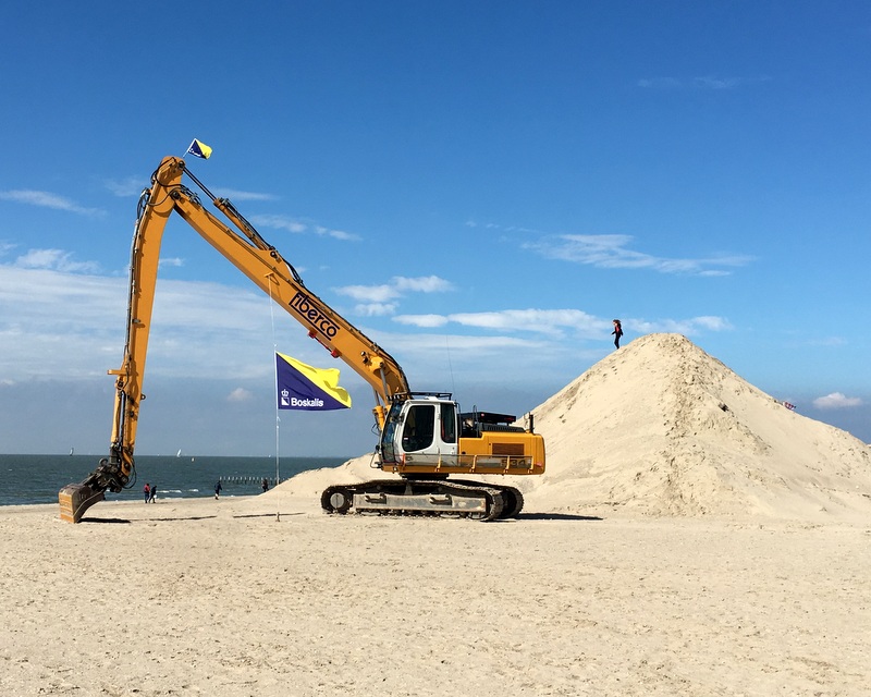
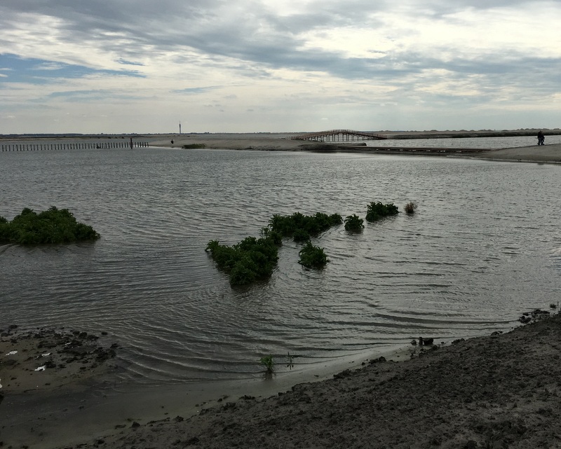
Work is still going on, but this was a weekend, so no activity.
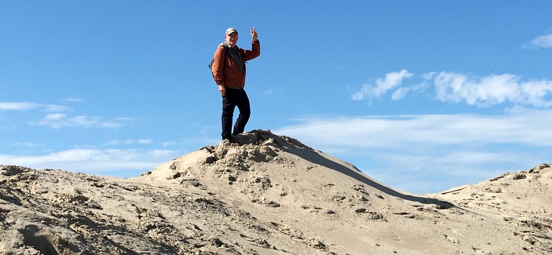
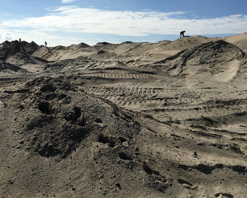
Here I am posing as a climber of the Marker Wadden mountains…:-)
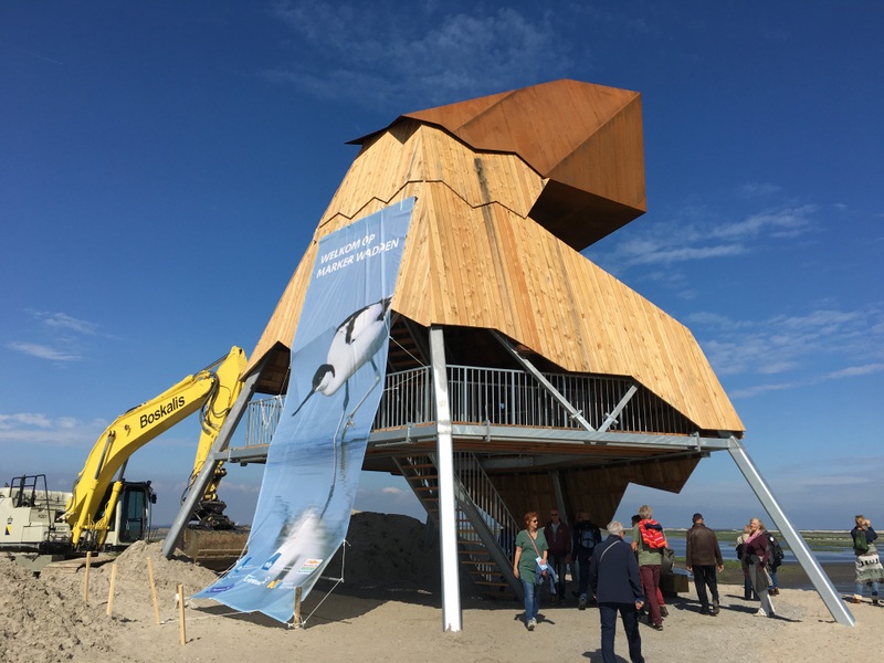
There is a lookout tower, solidly built.
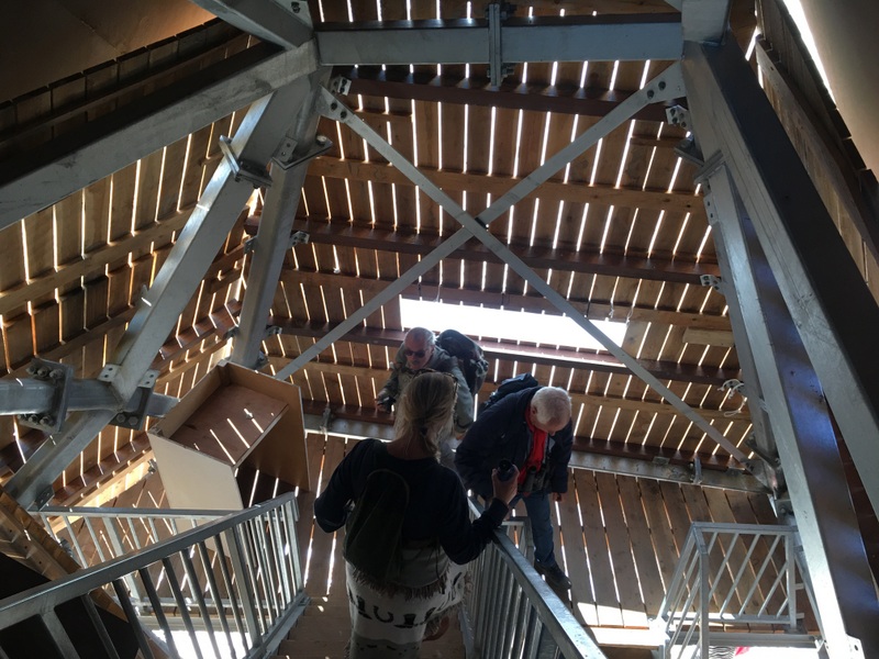
From the balcony at the top you have a good view of the surroundings.

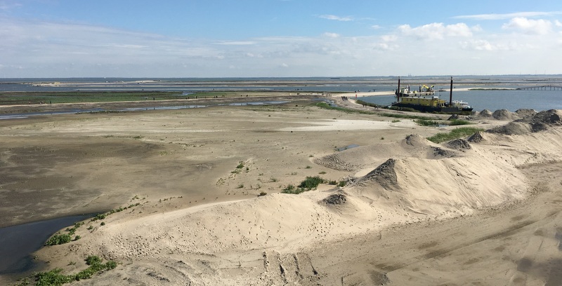
It was an interesting walk, In many places the work was still in full swing.
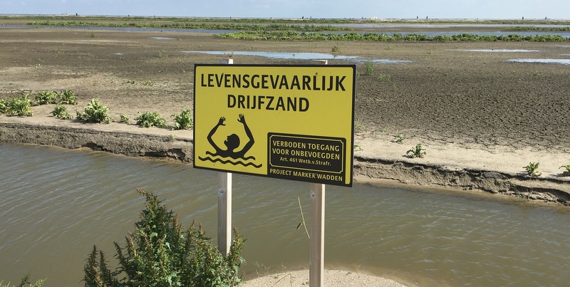
A warning sign for dangerous quicksand.
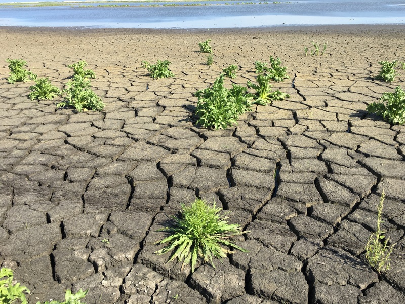
Regarding plant life, the philosophy of Natuurmonumenten is to let nature take Its course.Slowly plants will start growing, from seeds blown over by the wind from the surrounding polders. I have my doubts about the single patch of sunflowers I saw…:-). Could it be that somebody has bought a packet of sunflower seed and sowed it here?

We walked over a nice walkway, sat down and had the sandwiches we had taken from home. In a few years time this will be a beautiful region.
It will also become a paradise for bird watchers. During our visit we did not see many birds, because it was not the migratory season yet.

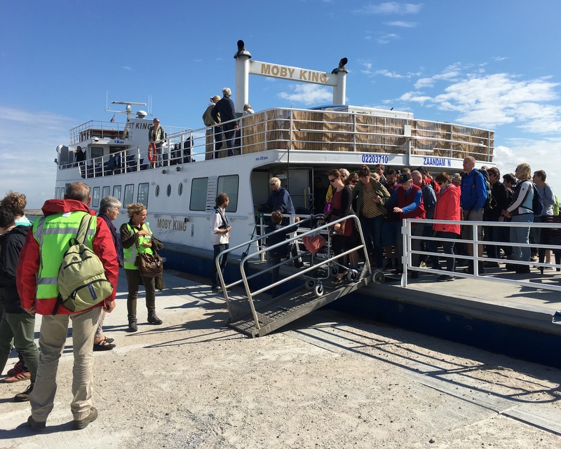
We spent a few hours on the island and then took the ferry back to Lelystad. A very nice outing.
This is an inspiring example of how dedicated people can turn a problem like siltation into a nature park.
That looks like an interesting project, here in Southern England there is a very similar project. Currently, Crossrail is excavating two 13 mile (21Km) tunnels across London, the problem they had was what to do with 13 million tonnes of earth. Luckly the Royal Society for Bird Protection come up with a solution and the Wallasea Island Wild Coast project conceived. Wallasea is an island in the Thames estuary which has now become the home of the tunnel spoil it has allowed the RSPB to create various habitats for the wildlife. http://www.abpmer.co.uk/experience/habitat-creation-experience/wallasea-wild-coast/