 |
wrote on Jul 24, 2012:
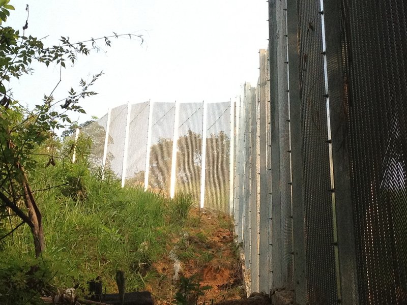
This shot is along the Northern boundary, nearing the lookout. The water now flows along the fence built straight up the failline and has caused more that 1m of soil to be stripped of in 2 months time. Note how dense and shady the fence is on the right side. Your small finger can not penetrate it. Also note, the corner in the fence here and a few other places along the Northern boundary. But if you look at the maps from JLN the Northern boundary is totally straight. So is this surveying errors, correction of alignment mistakes, future encroachment or public lands given away? JLN has to answer what is going on, preferable 1-2 years before the construction, not after their Minister gets voted out at GE13. |
|
|