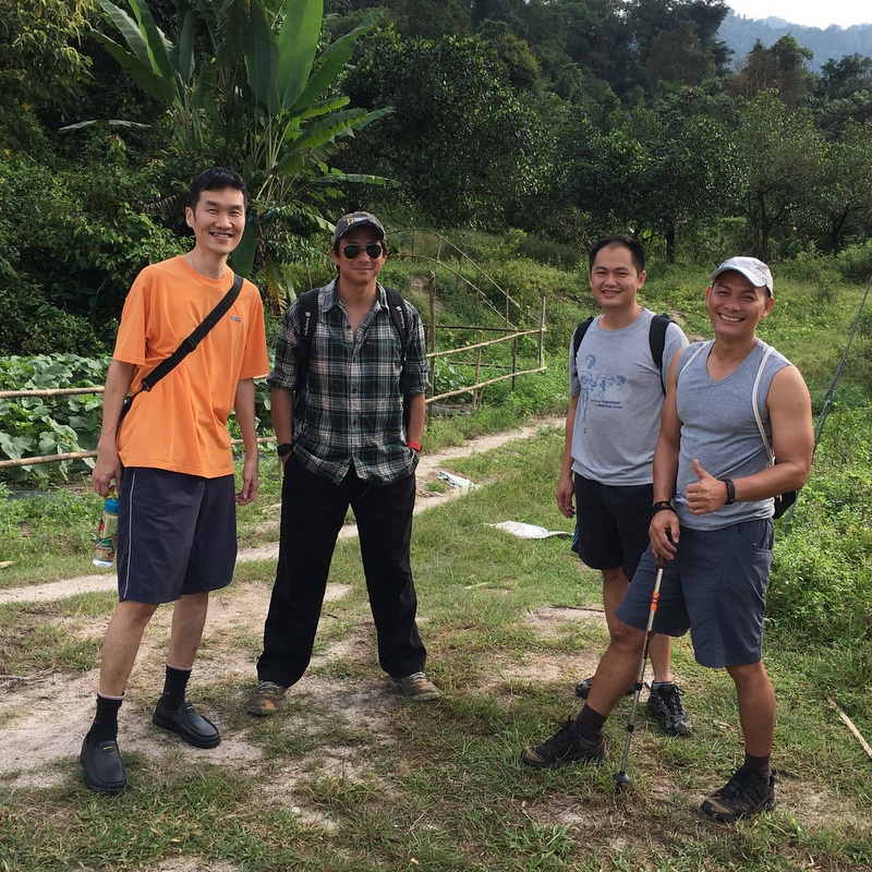
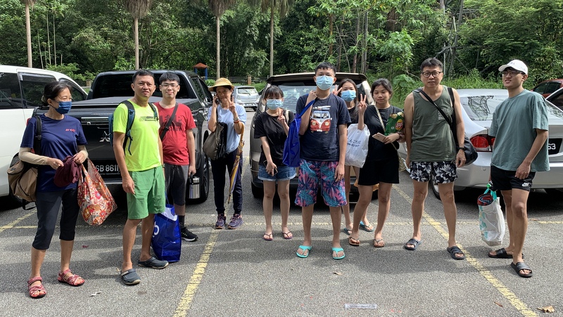
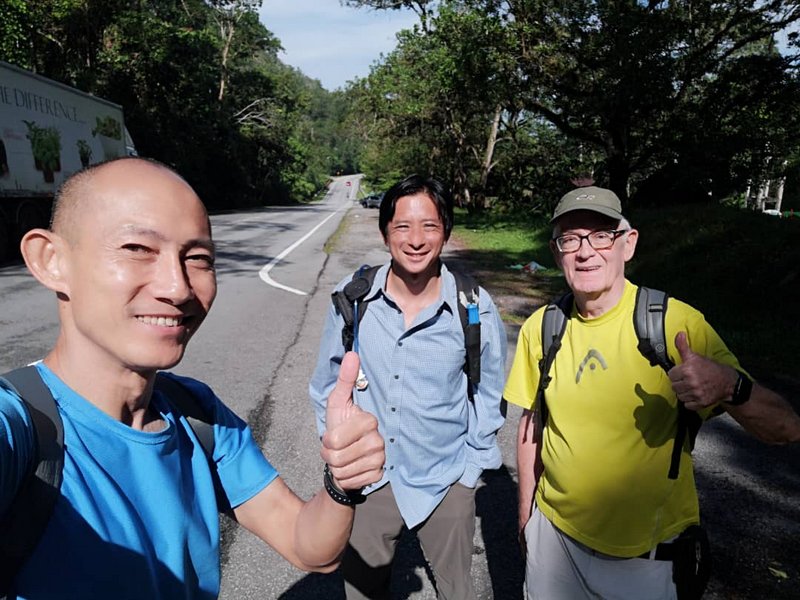
A few weeks ago, I came across a report: Cherandong Dam Via Ampang Pecah, KKB, about an old dam in the KKB region. During a recent visit to Fraser’s Hill, I spent some time in Kuala Kubu Baru and wanted to come back because there was a lot to see. I asked my friends Paul and Fahmi if they would be interested in joining me on a day trip to KKB, Ampang Pecah, and the Cherandong dam. They were, and I made a list of all the interesting places we could visit. Fahmi warned me that it was too much for a day trip, and he was right. We could only visit Ampang Pecah and must come back another time for KKB.
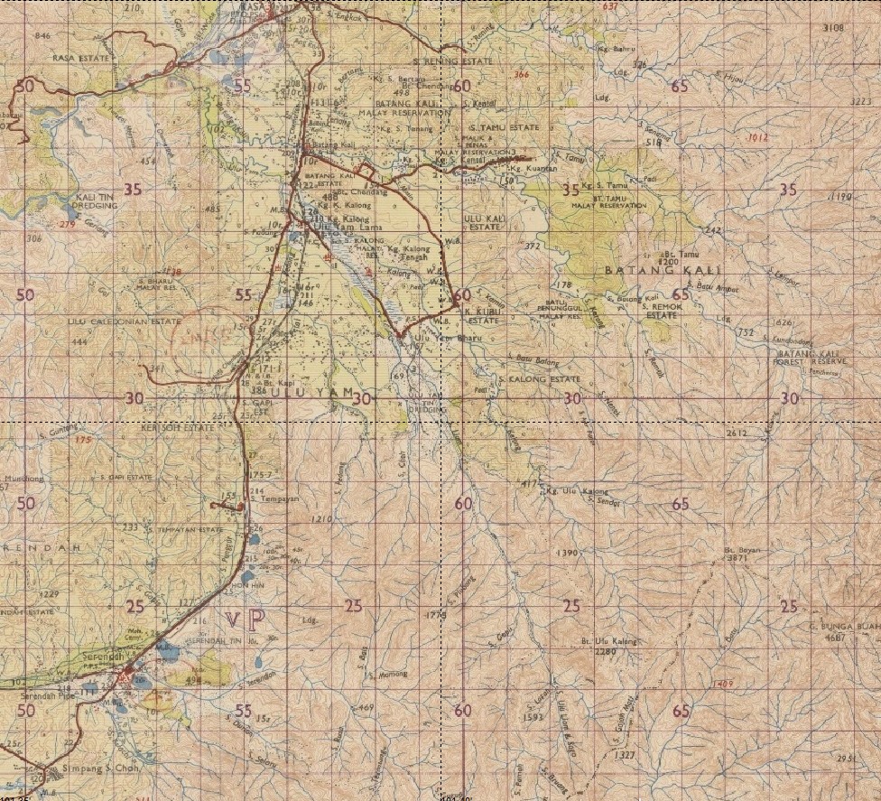
Here is a map of the region. I have marked the Selangor River in blue.

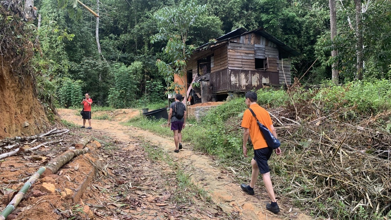
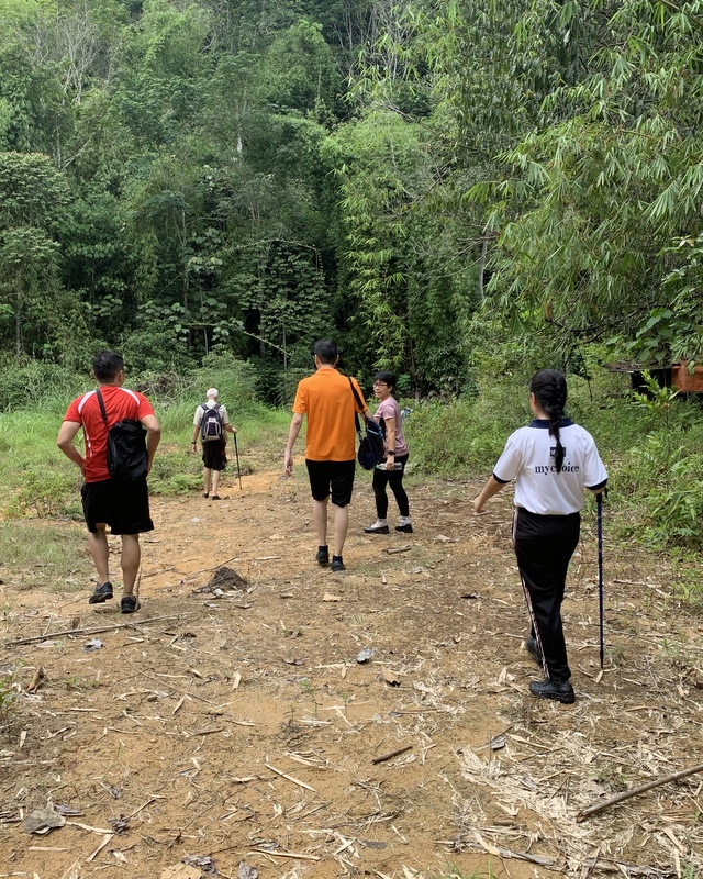
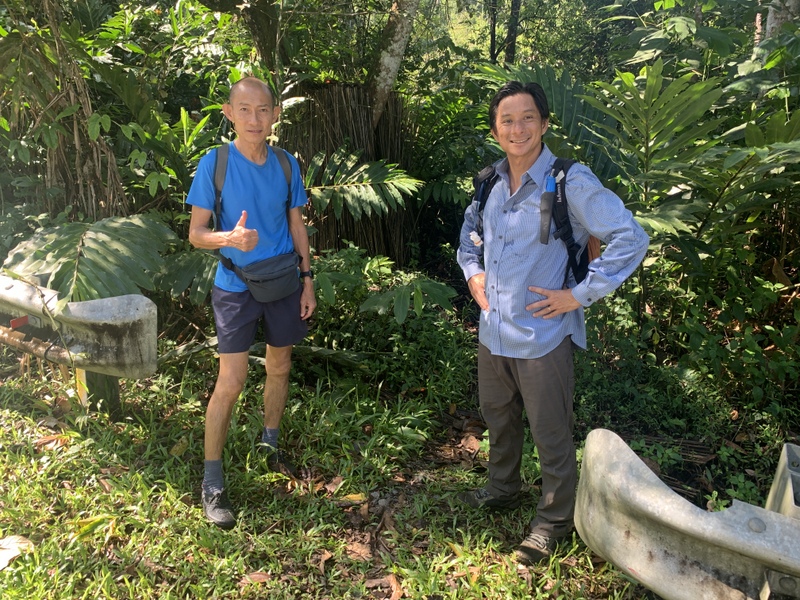
It was a one hour drive to the trail head. When we arrived Fahmi said that he had been camping there, a few years ago. And that we could drive further to a campsite.


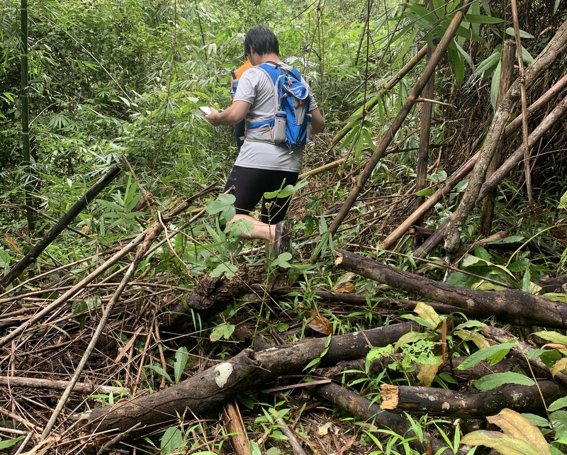
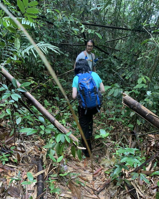
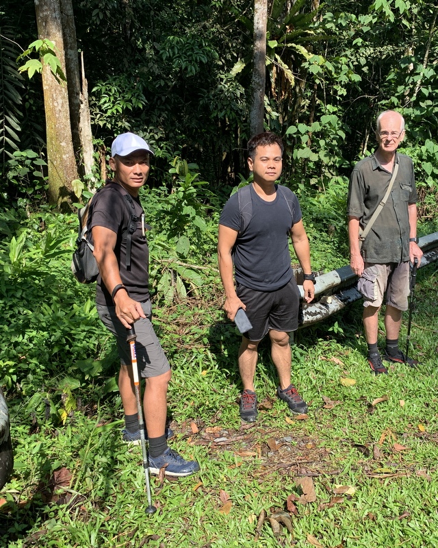
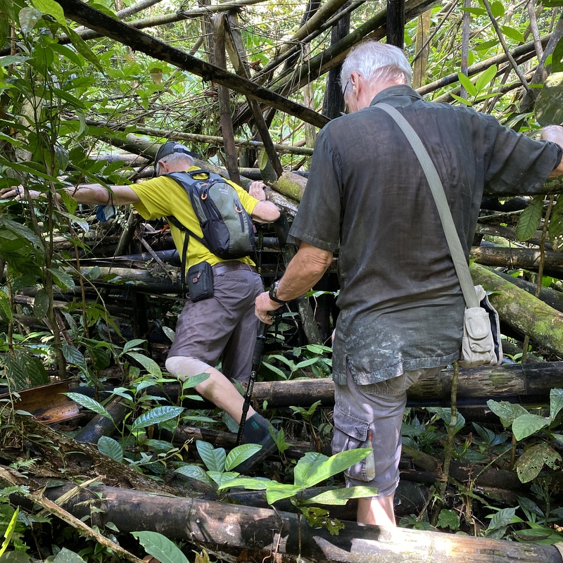
There was a difficult stretch in the road where we decided to park the car and continue on foot.


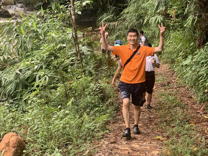
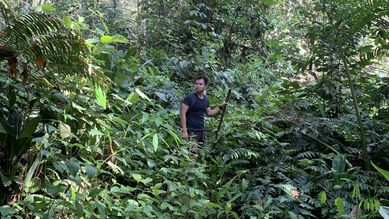
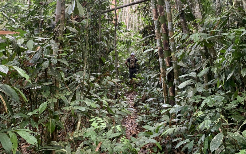
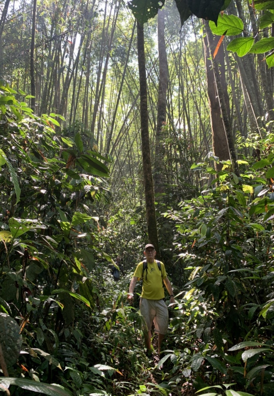
It was a pleasant walk in a palm oil plantation.

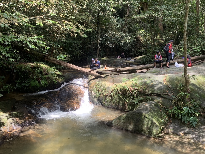
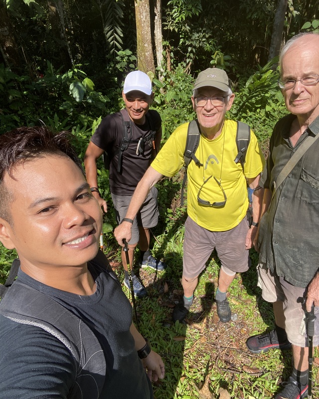
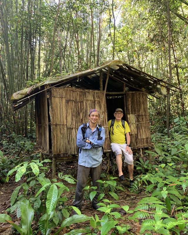
We passed the campsite and soon came to a shed where we paid 3 x RM 3 to continue. A friendly Malay guy told us that we could go to the waterfall, but that the dam was in a Forest Reserve land and access was not permitted. Heavy fines for trespassers. That was a disappointment.


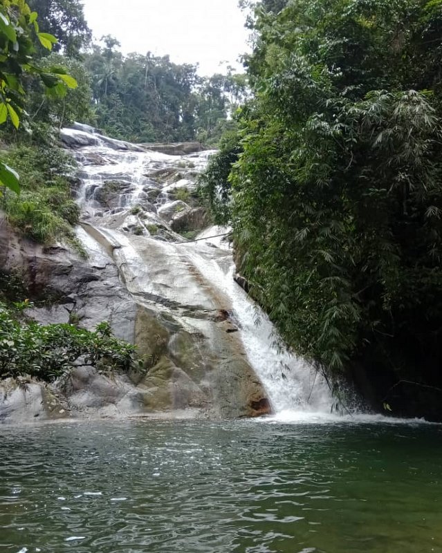
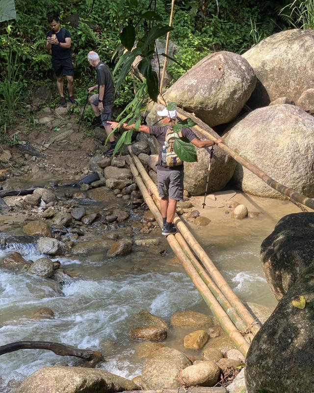
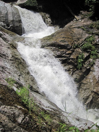
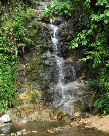
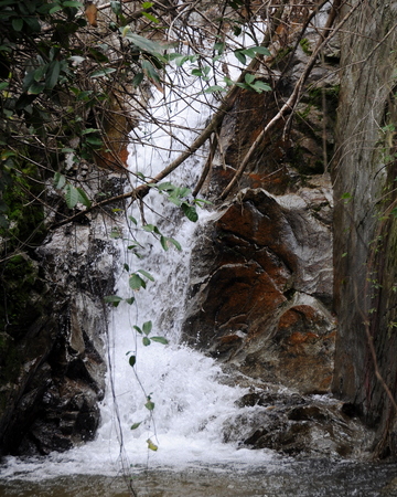
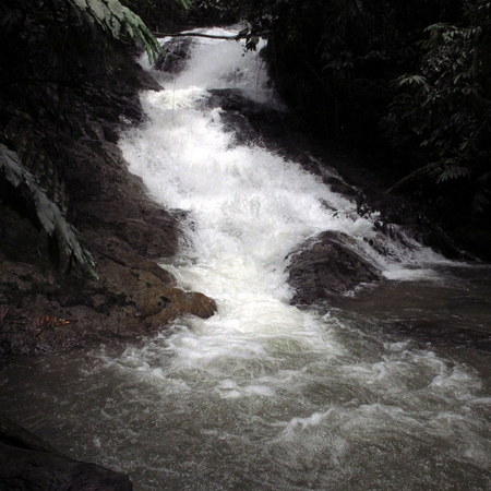
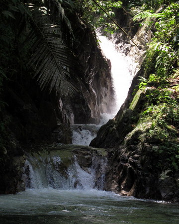
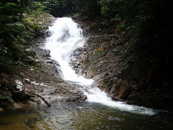
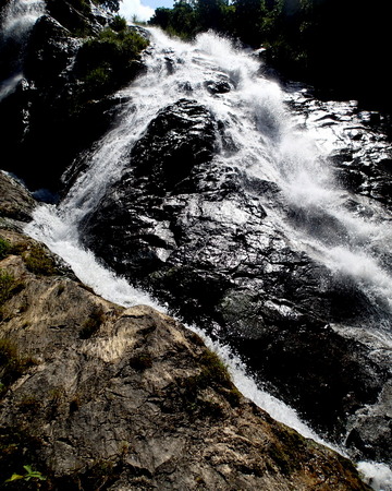
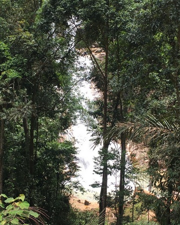
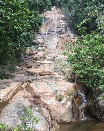
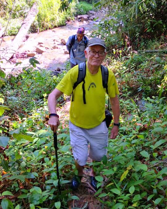
It was not far to the waterfall, the trail became steeper and a bit slippery.


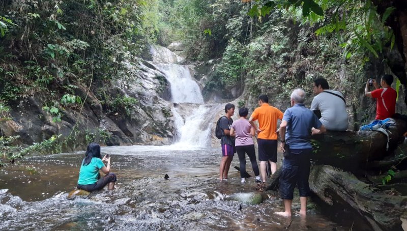
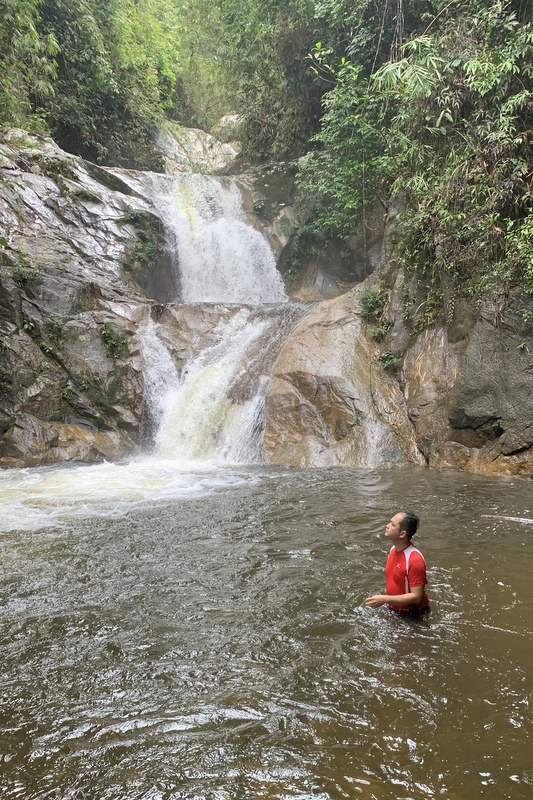
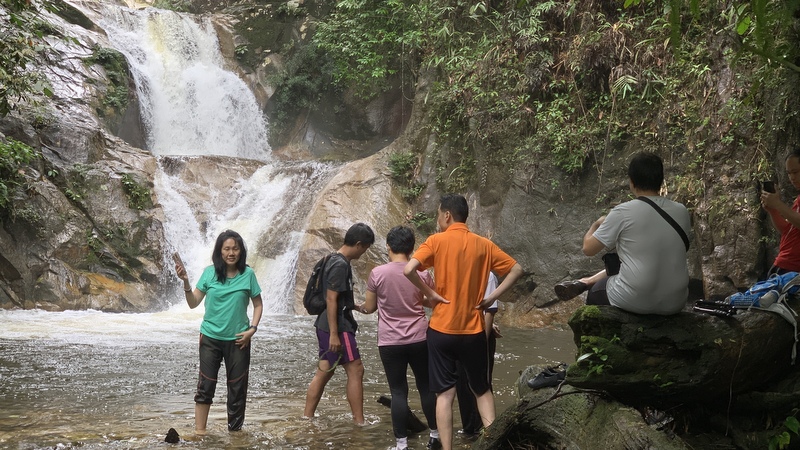
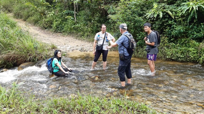
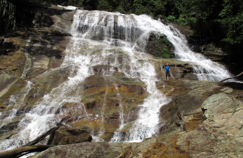
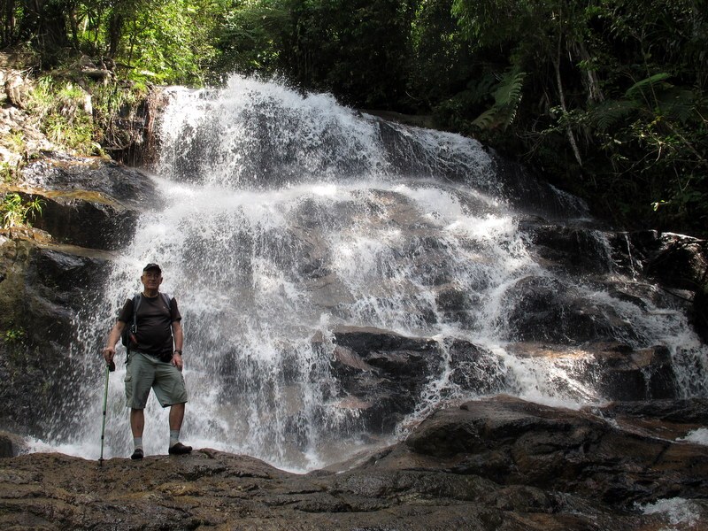
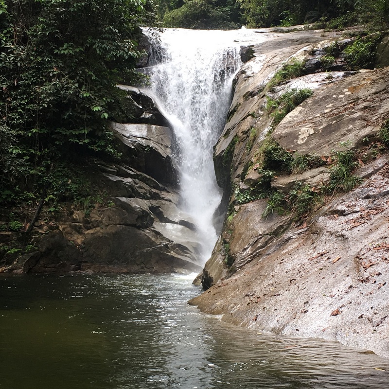
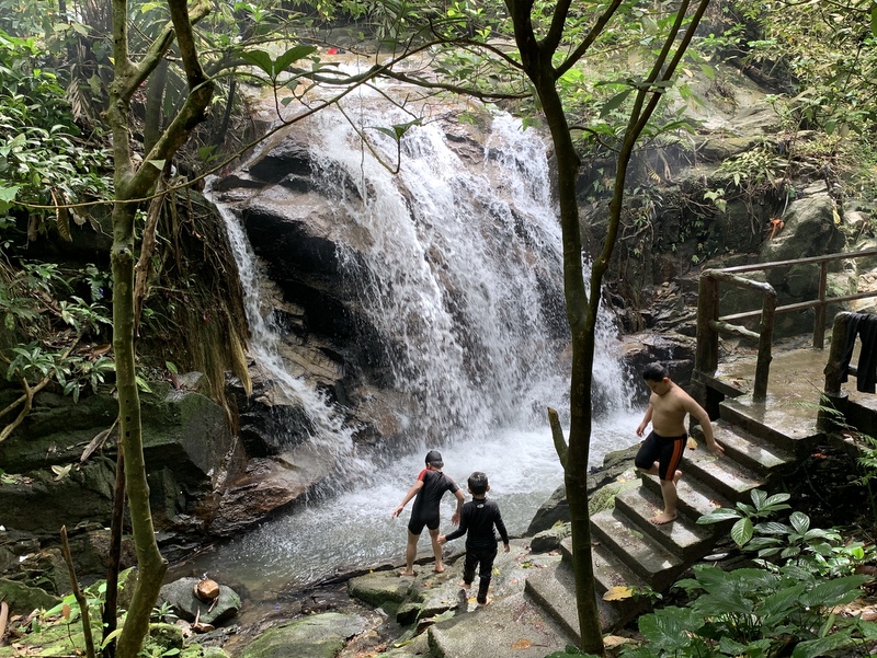
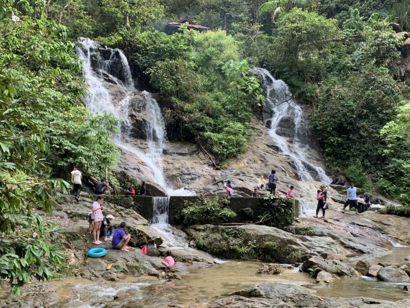
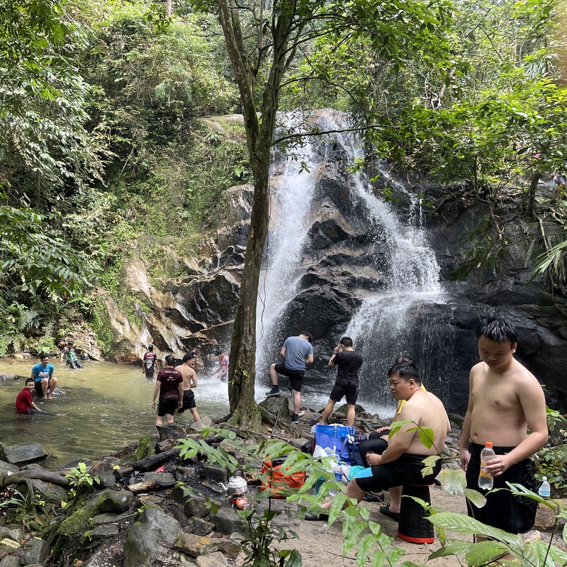
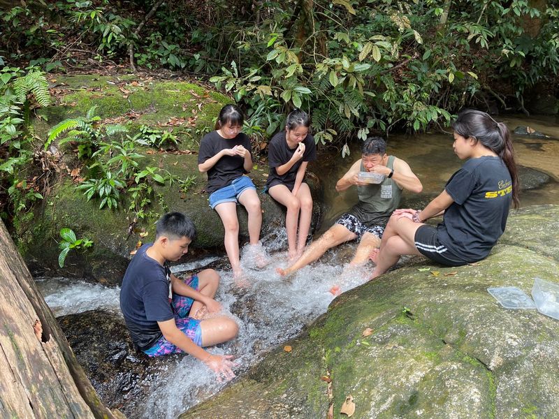
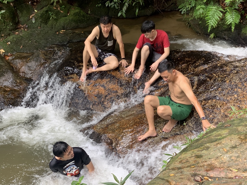
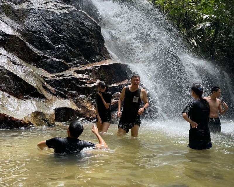
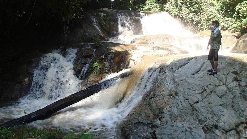
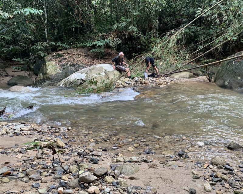
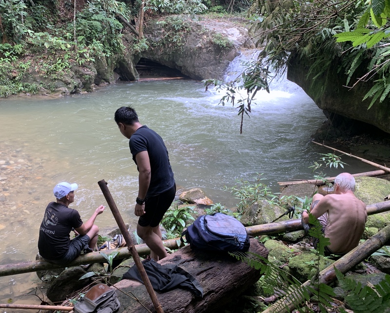
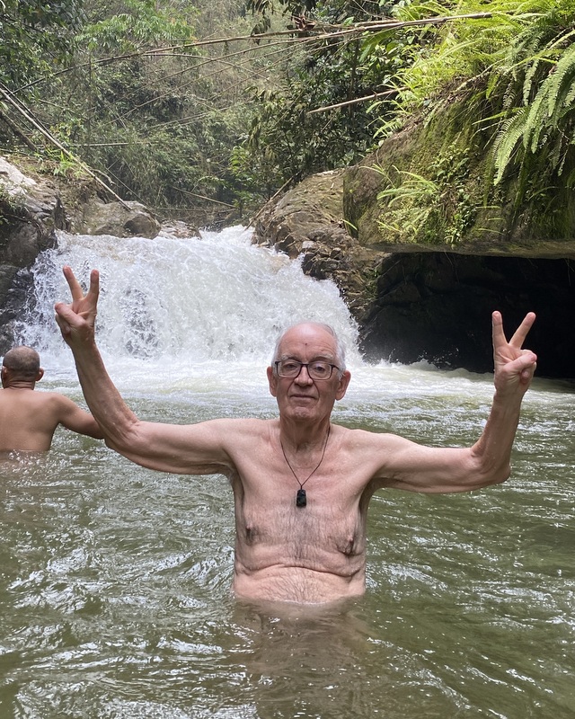
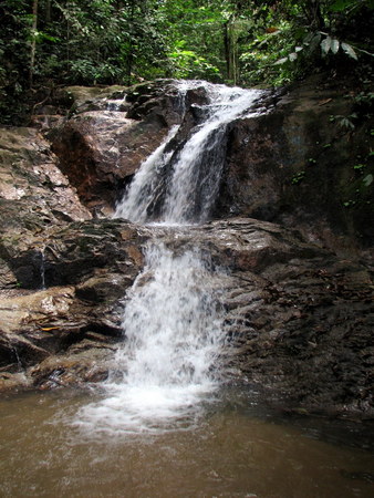
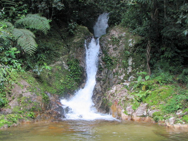
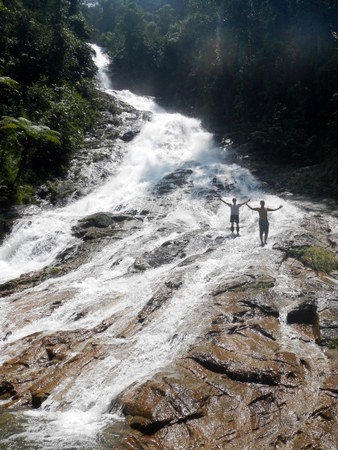
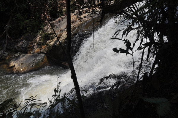
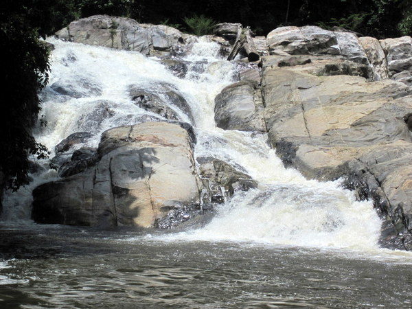
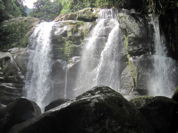
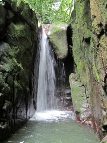
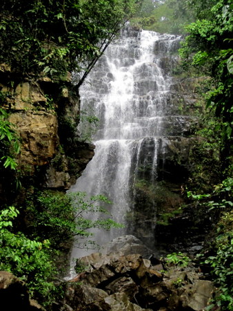
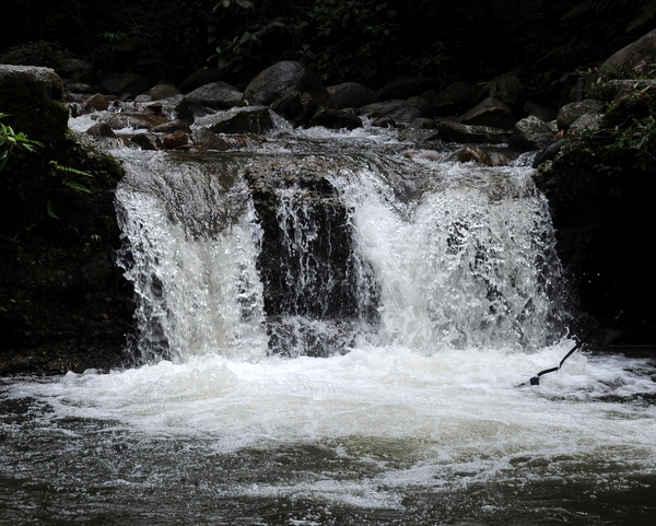
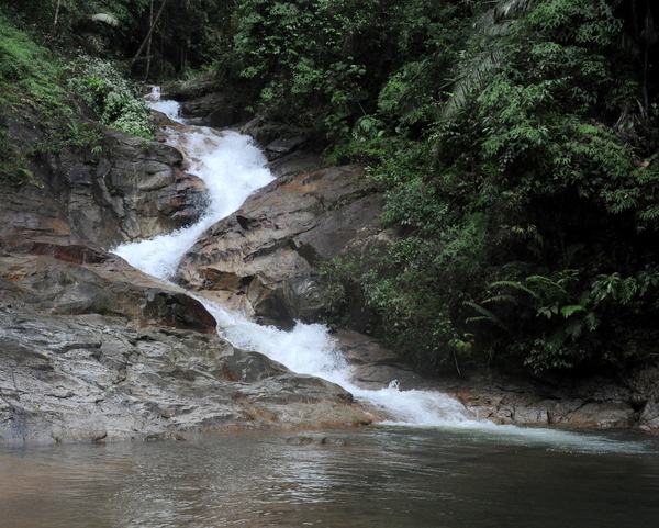
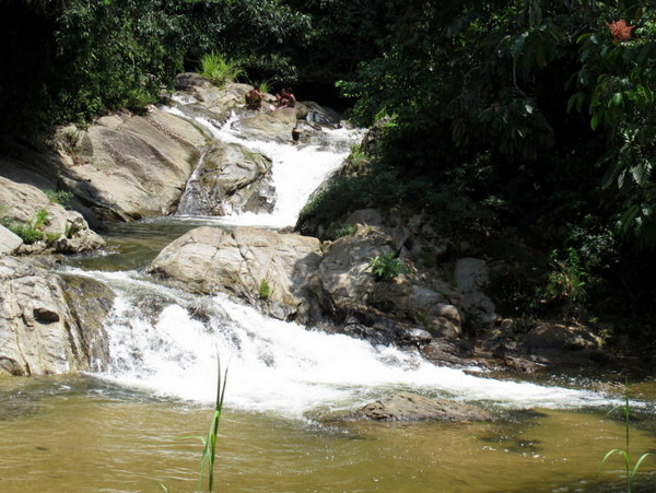
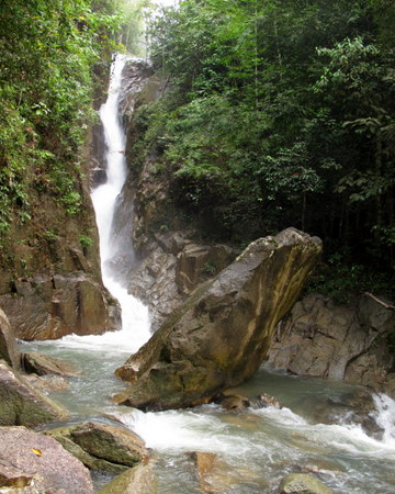
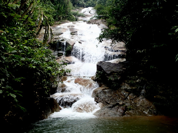
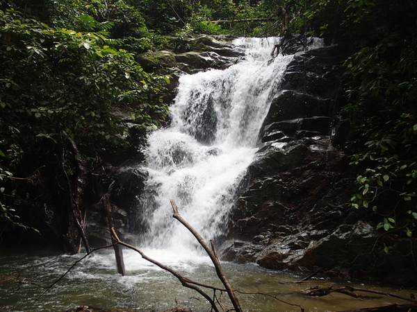
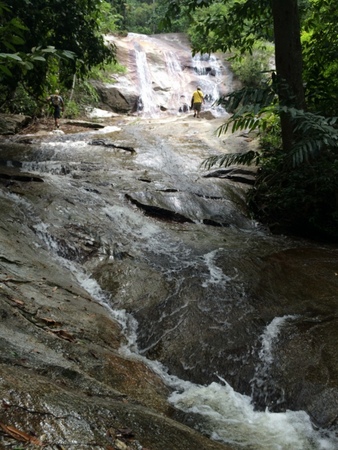
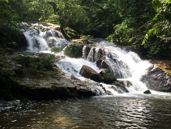
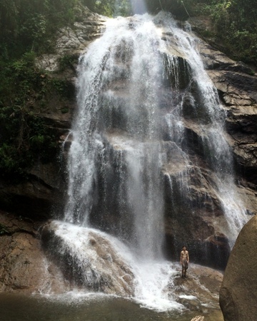
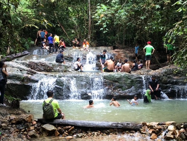
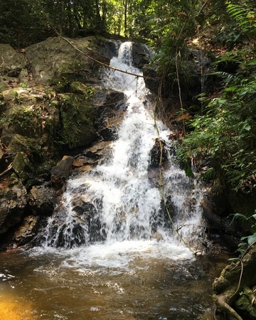
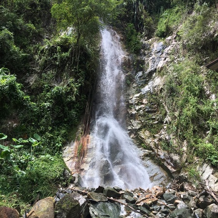
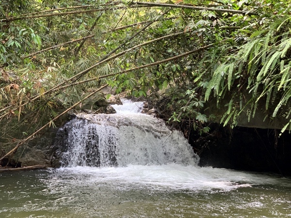
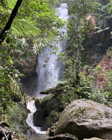
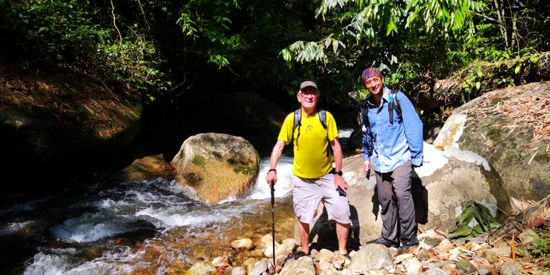
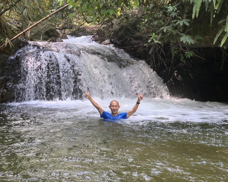
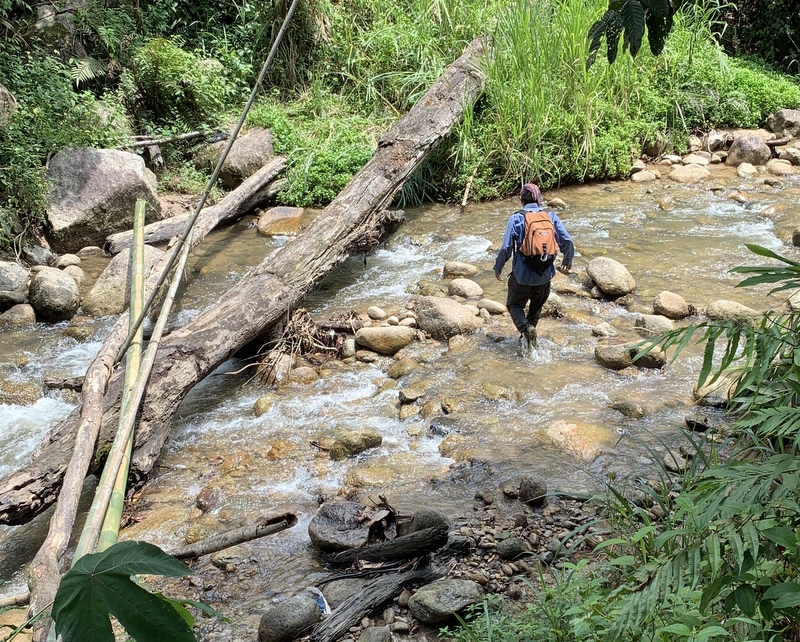
Almost near the waterfall. The Selangor River is quite impressive, there were a few more visitors.

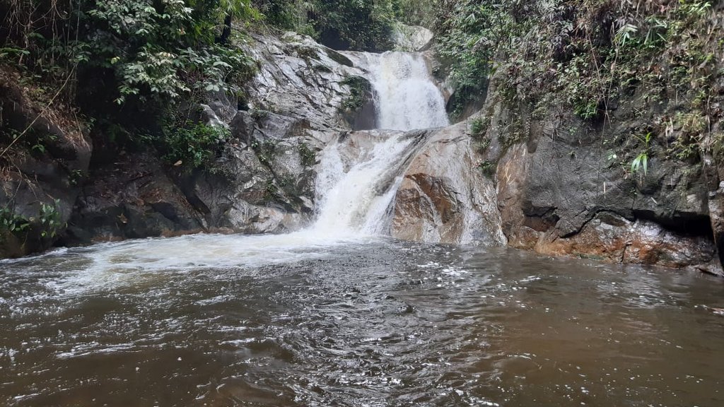
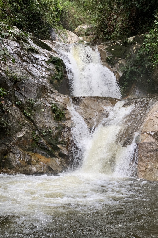
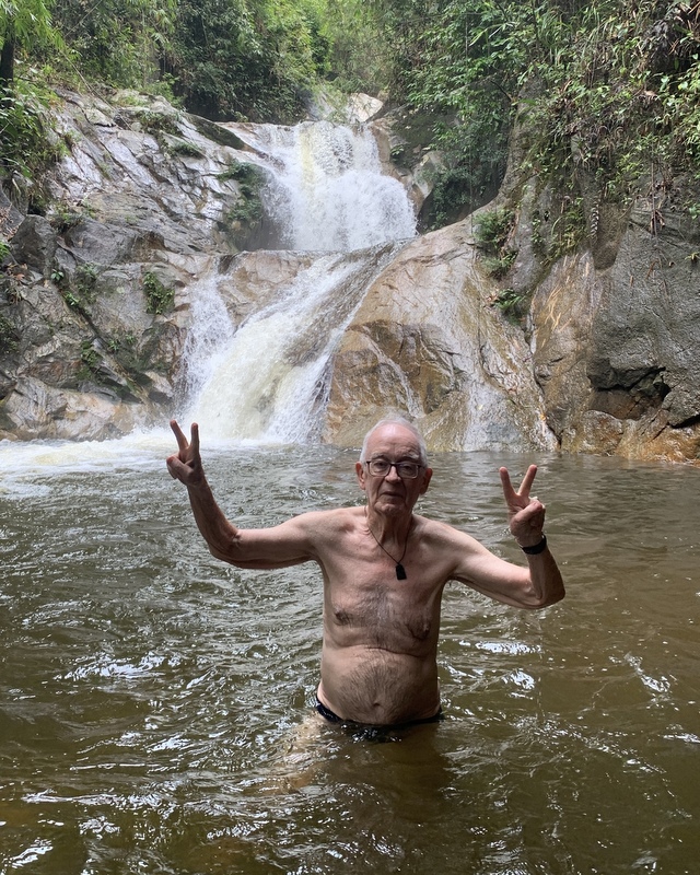
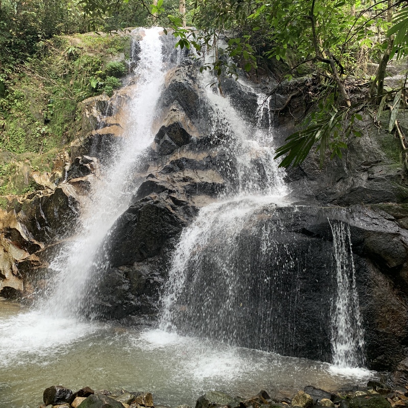
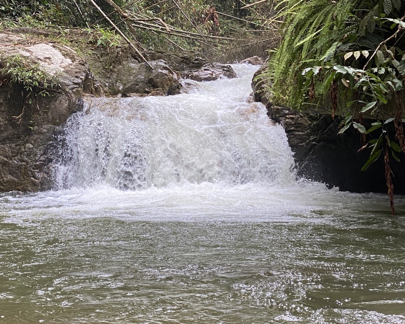
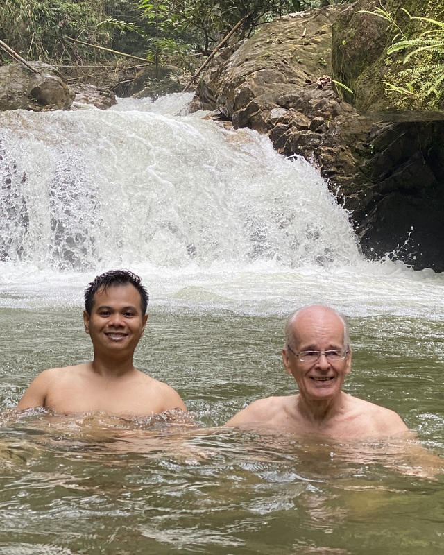
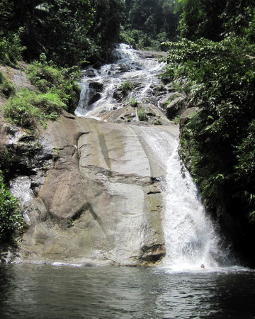
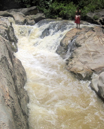
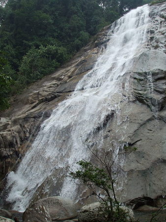
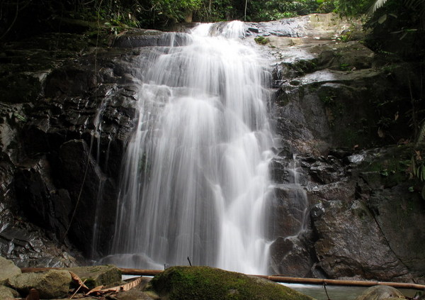
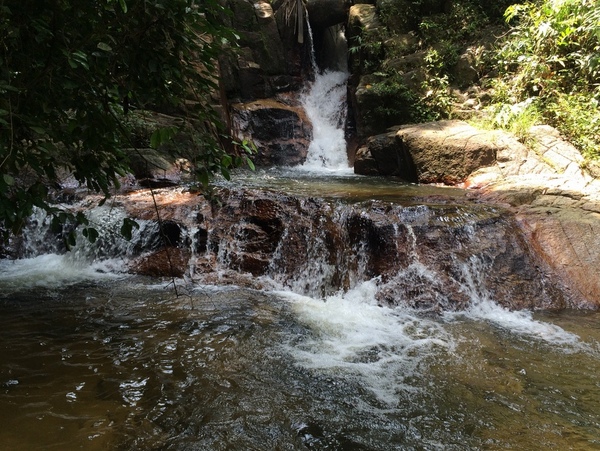
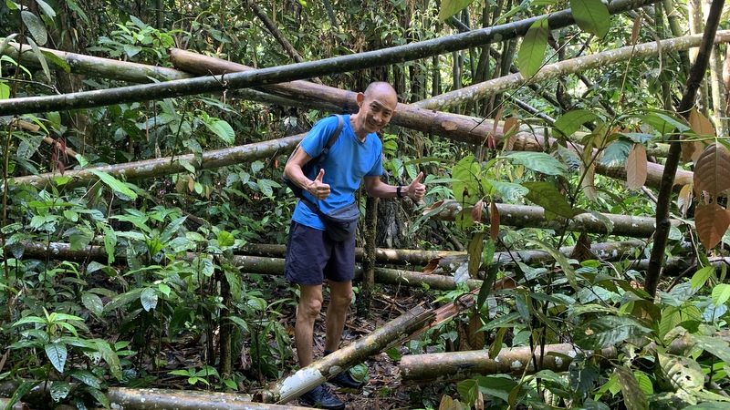
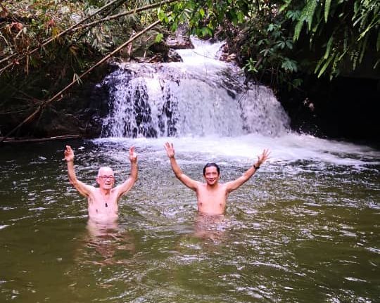
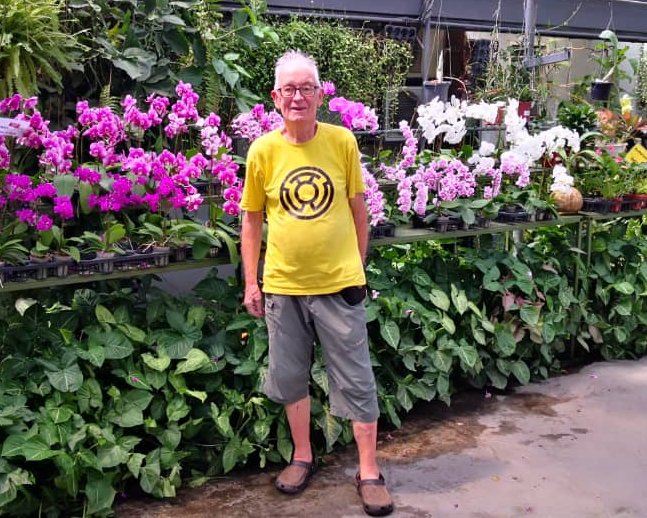
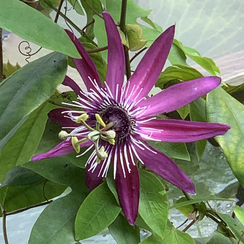
The Cherandong waterfall is not a spectacular one, but scenic. Two warga emas are proudly posing.


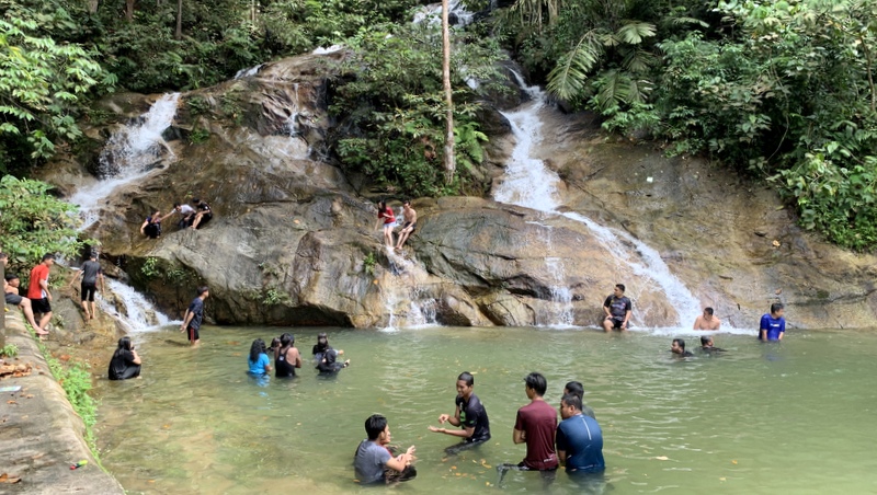
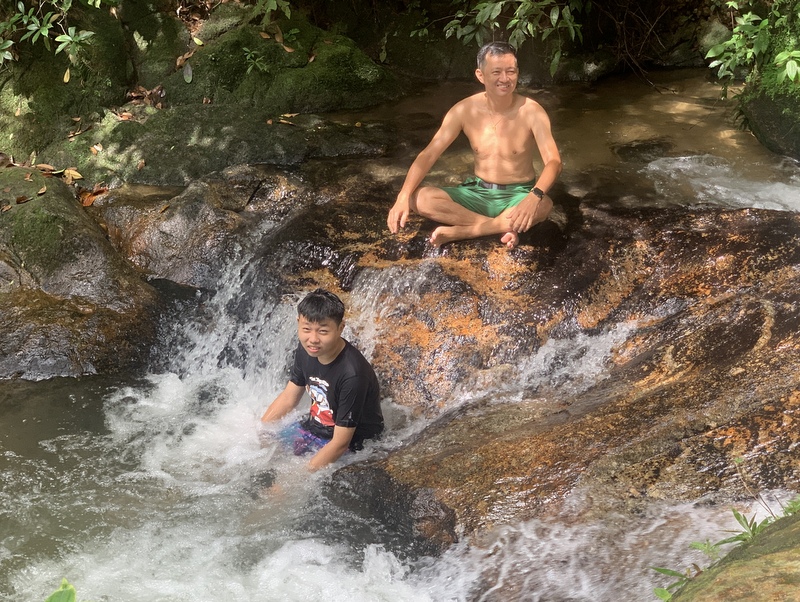
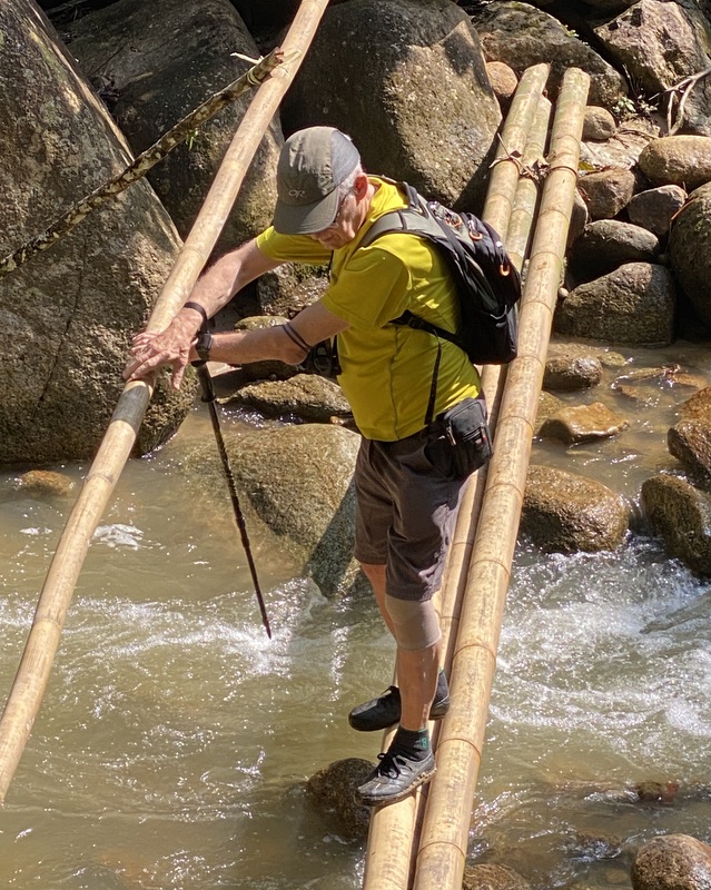
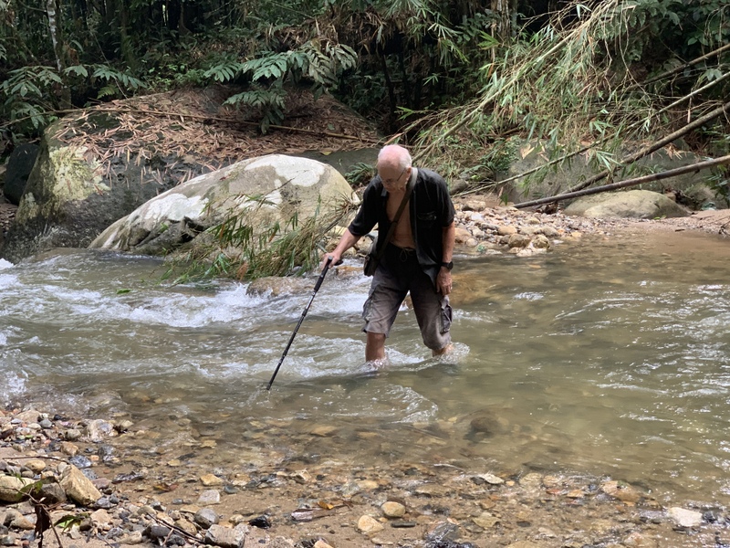
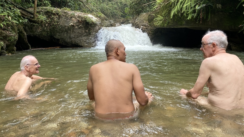
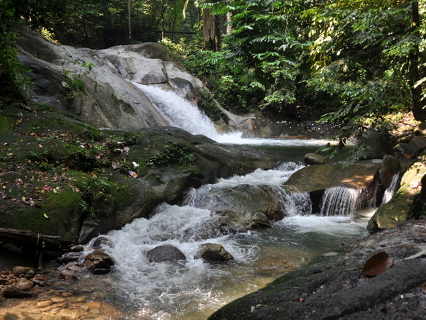
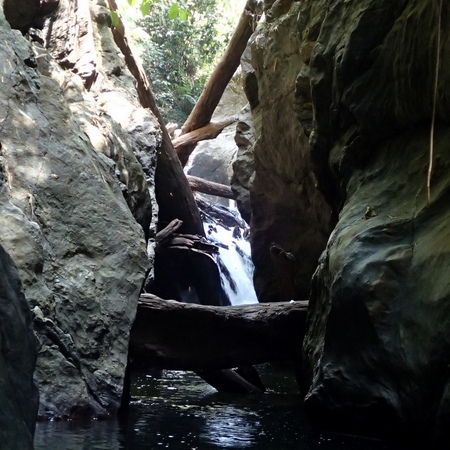
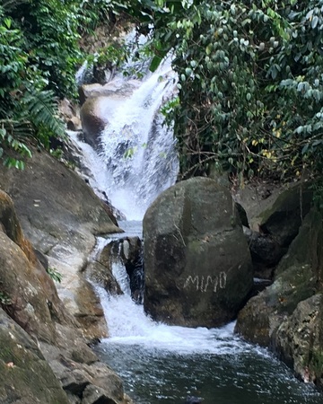
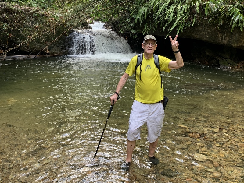
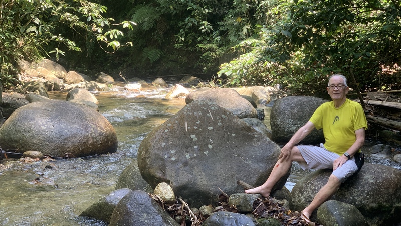
No pool, and the rocks were quite slippery; we had to be very careful. The dam is only a short distance away, but you have to scramble up the rocks (behind me in the picture). We decided not to take the risk.


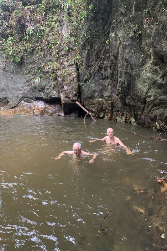
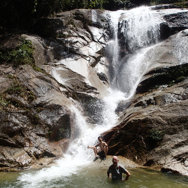
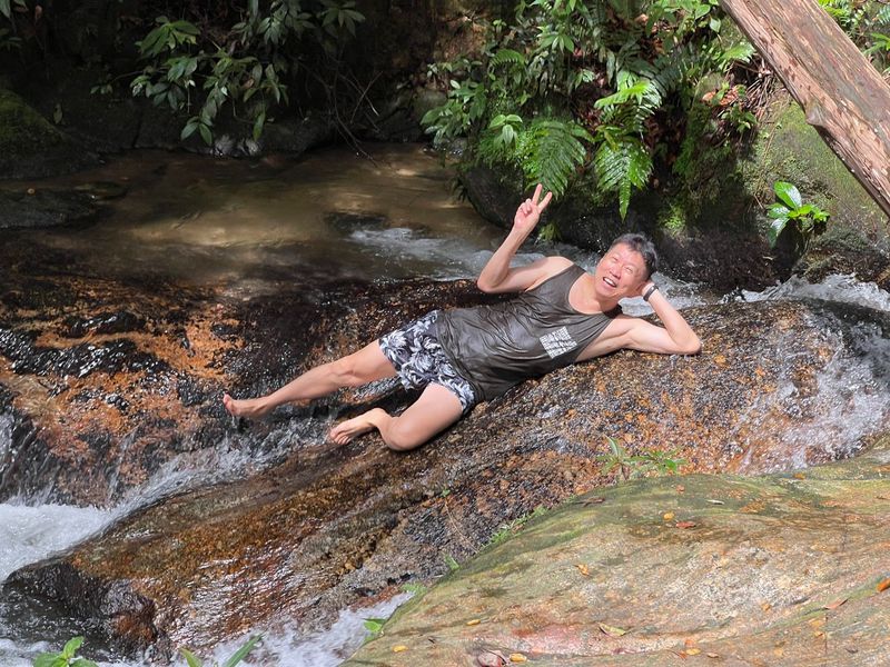
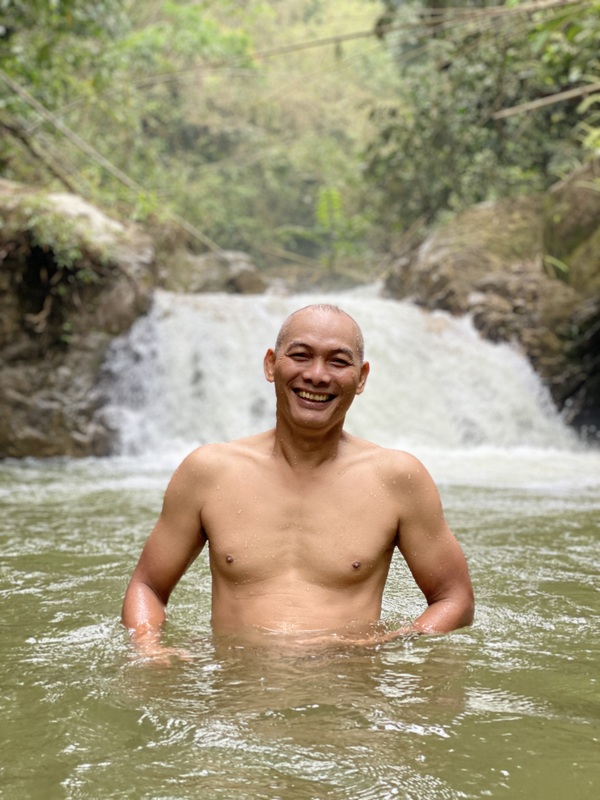
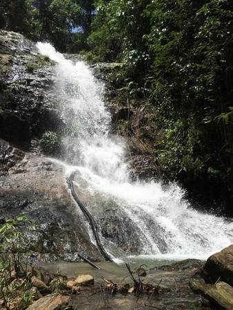
Fahmi took a shower and a few years ago I would have followed him, but nowadays I have lost confidence and I am afraid of falling and breaking something.


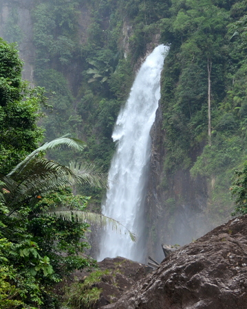
We were just in time, the Selangor river is famous for white water rafting and soon several boats arrived and stopped at the waterfall. We didn’t stay long. I asked the guy in the shed if Rangers sometimes checked. He said that sometimes they were wearing casual clothes and only later showed their badge. I understand that they protect the forest, but they should allow access to the dam, and create a short trail up to the dam.


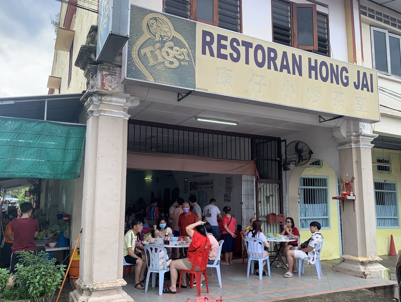
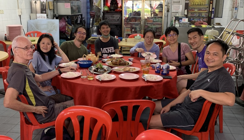
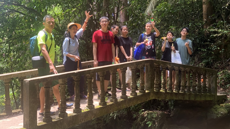
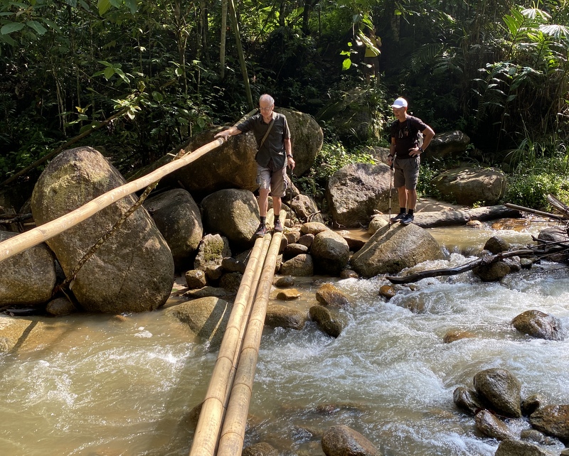
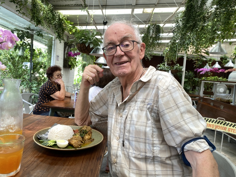
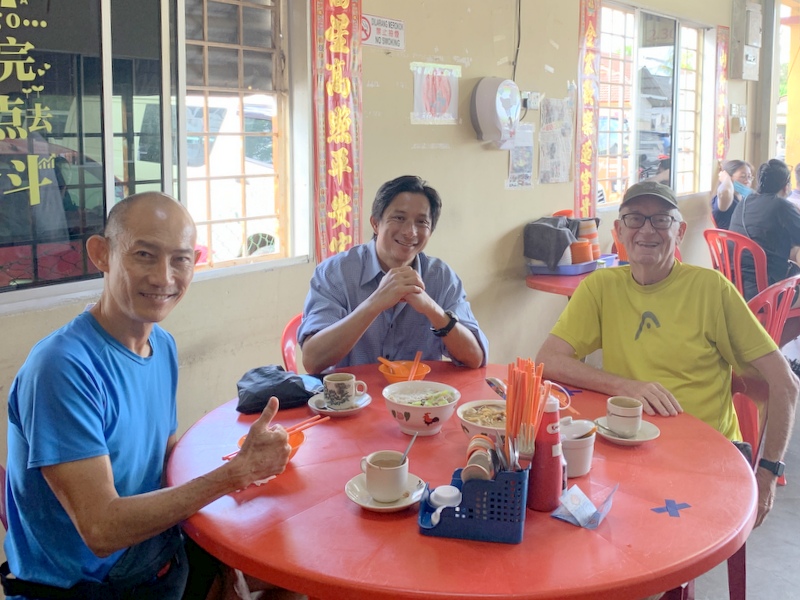
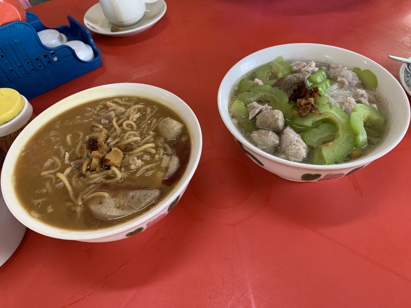
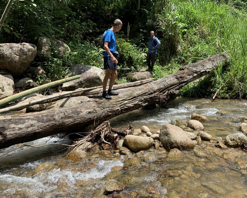
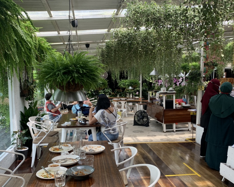
It was already 1 pm, time for lunch. Fahmi had found an interesting coffee shop on the Internet. A bit complicated to reach because you have to cross the Selangor River on a hanging bridge.


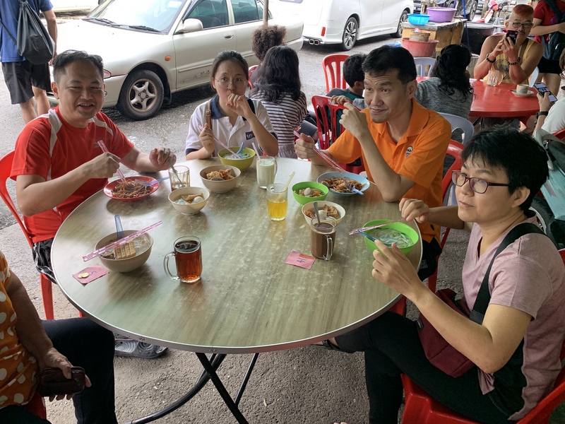
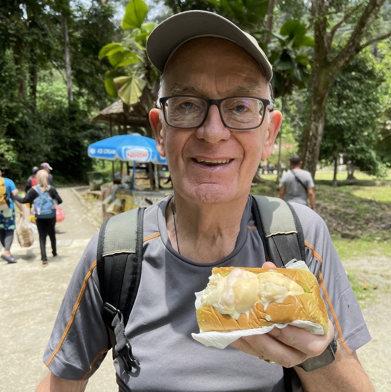
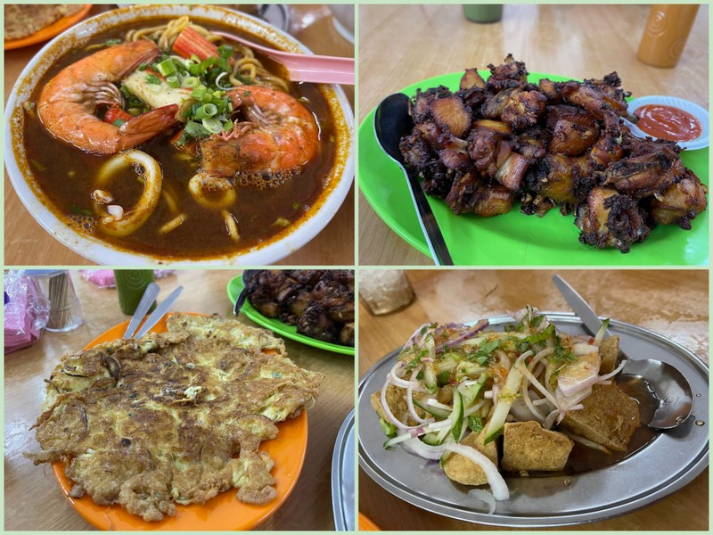
Quite an amazing place, this Kopi Kisar Kebun !. Only open during weekends, 9am to 5pm.. A large variety of food and drinks. Really worth a visit when you are in the region. We had lontong, asam laksa and pisang goreng.


Ampang Pecah (Broken Dam) has an interesting history. Long ago it was Kuala Kubu, located at the confluence of the Selangor and Kubu rivers. But the region was prone to flooding. In February 1883, a dam broke and the whole village was destroyed. There is a legend that it happened because Cyril Ranking, a British officer had shot a white crocodile, the guardian of the Selangor River.
The town was rebuilt and flourished during the tin era. In December 1926 there was a second disastrous flood, destroying the town again. The colonial powers decided to rebuild Kuala Kubu on higher ground and named it Kuala Kubu Baru. It is said that only two buildings survived this flood, a mosque and a Chinese temple.
First we visited the Guan Yin Kok temple. The history goes back to 1904. During the Emergency devotees were not allowed to enter the temple, so they moved the deities to another temple in KKB. Only in the 1980s, this temple was rediscovered and rebuilt.


An impressive Laughing Buddha, and a nice location, next to a pretty small lake.


The other building that survived the 1926 flood is the Al-Hidayah mosque


It is recognised as a heritage site. The signboard at the entrance says that the mosque was built in 1926, the same year as the second flood. That’s a bit strange.


There are still questions to be answered. What was the exact location of the dam that broke in 1883. Does the grave of Cyril Ranking still exist? And was the 1926 flood caused by a heavy downpour or by another broken dam?
KKB has a a historical gallery, I will have to go again 😉 .