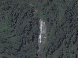
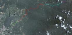
Some time ago waterfall addict Siang Hui found an unknown waterfall near Bidor, using Google Earth. A remote fall, but access might be possible, first to an Orang Asli kampung, then a logging road, and finally river trekking;
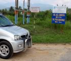
On my way back from Taiping, I took the Bidor exit from the N-S highway, and did a recce. I found a new signboard to Pos Gedong, 15 km away. That sounded promising, so we (Siang Hui, Rani, Aric and I) decided to organise a trip.
The plan was to camp near Pos Gedong, then trek along the logging road to this new fall.
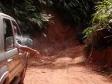
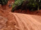
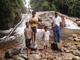
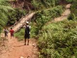
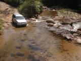
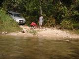
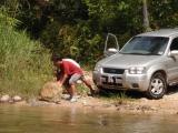
The first part, until Kg Senta, was easy, partly even a tar road. From there to Pos Gedong was a different story, definitely 4WD. Rani proved that he was a competent driver. Halfway, during a short stop, we discovered a nice small waterfall, unnamed. Here we met a local on a motorbike, who was willing to guide us to another nice waterfall, near Pos Gedong.
We followed him, but soon came to a difficult passage, where they were working on the road, and where we could not pass. We were advised to continue on foot to the waterfall and Pos Gedong, then come back later in the afternoon, when the roadwork should be finished.
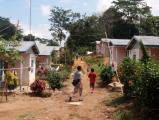
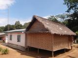
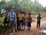
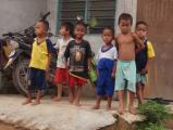
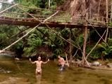
So, we first walked to the Serul waterfall and then to the village, where curious kids stared at us and where we introduced ourselves to the penghulu. He knew the waterfall, the name was Tigok, and he could provide us with a guide.
After lunch we walked back to the car, the road had been repaired and we could reach the village.
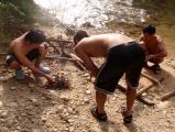
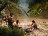
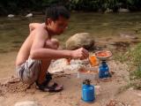
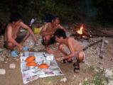
We found a nice campsite, near the Bidor river, set up camp, and had a relaxing afternoon and evening.
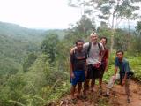
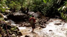
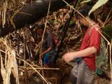
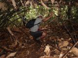
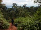
In the night there was some rain,but the next morning it got dry, and at 9 am we started the trek. It was a very steep climb uphill to the ridge, from 320m altitude until 700 meter. Following the ridge for a while, we finally went down to the river. There our guide proved to be very useful, a lot of chopping was required and there was hardly any trail.
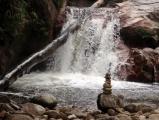
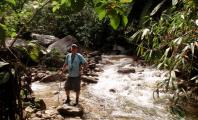
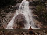
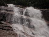
After 3,5 hour we reached finally the waterfall. It was a special sensation to reach the waterfall, which we had studied already through Google Earth..;-)
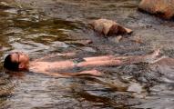
We took a bath, had our lunch, and then it was time already to go back,it took us 2.5 hour.
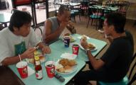
Back in Bidor, we were thirsty and hungry, and there was a KFC, so....:-)
A remarkable adventure! |
