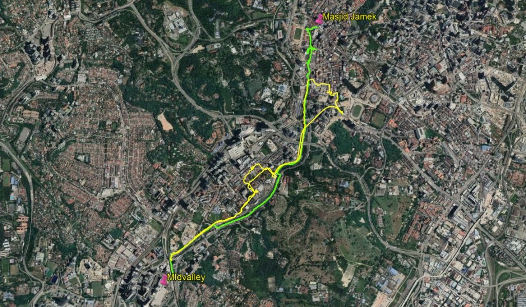
When we walked the River of Life route recently, we started at the trail head near the Midvalley Megamall and stopped at Chinatown, because we wanted to have a look at the murals there. Click here for a detailed report. So we skipped the part from Chinatown to Masjid Jamek, considered the be the most beautiful part of the route.
As there are LRT stations both at Masjid Jamek and near Midvalley (Abdullah Hukum) , I suggested to Paul that we could walk another time, one way, from Masjid Jamek and going back by train.
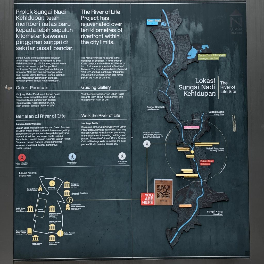
We met at the exit of the Masjid Jamek LRT station and started our walk from there. A clear signboard gives information about the River of Life project.
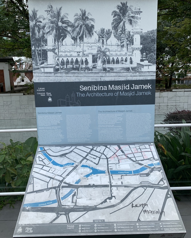
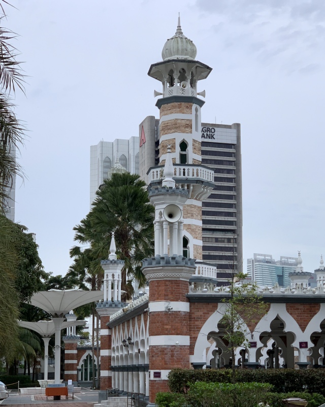
Our walk started in front of the Masjid Jamek, one of the masterworks of Arthur Benison Hubback, built in 1909. Non-Muslims can visit the mosque, but there is a dress code. Left an explanatory signboard, right the mosque as seen from the main entrance.
The route passes the magnificent (old) Supreme Court building, another creation of Hubback (1915). Not in use at the moment and the interior needs urgent repairs. The picture has been taken from the new pedestrian bridge crossing the Gombak river. In the right picture Paul is looking at the mosque, located at the confluence of the Gombak and Klang rivers.
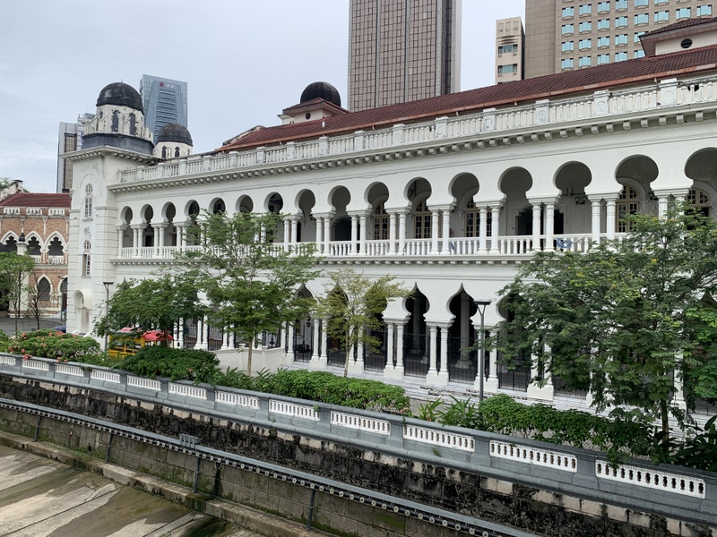
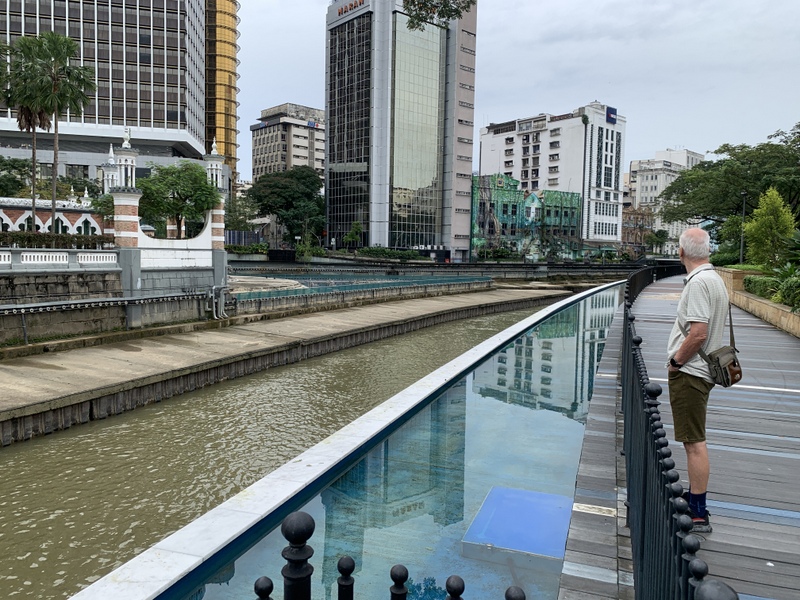
The next few hundred meters are for me the highlight of the River of Life project You pass the back of the former Government Office (1897). The front side, facing Dataran Merdeka, is probably the most photographed building of KL The tranquil , peaceful backside was an unexpected surprise for me
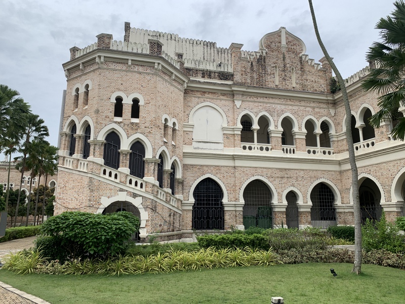

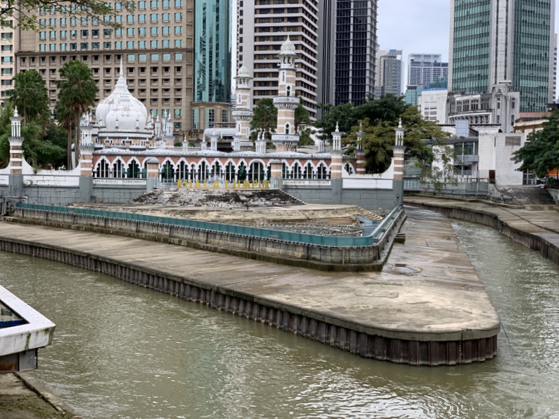
Continuing along the Gombak river, you have nice views of the Mosque and the confluence of the two rivers.
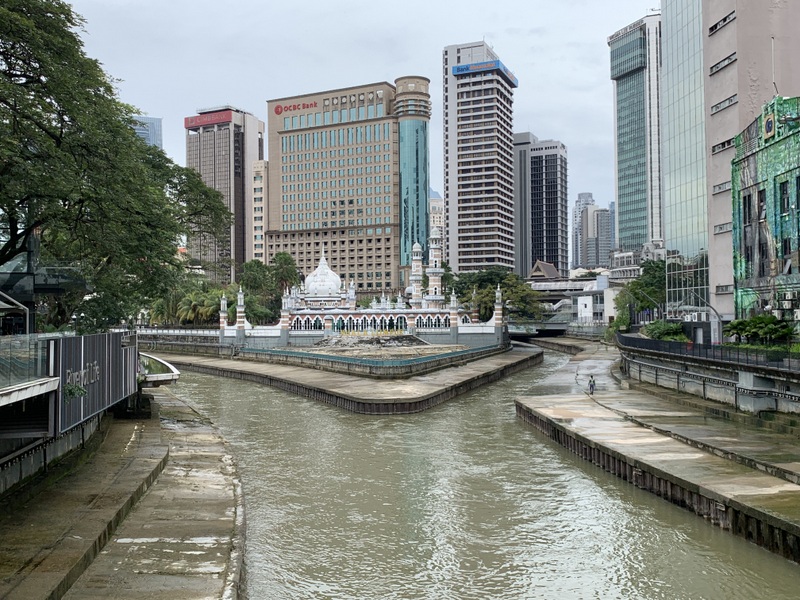
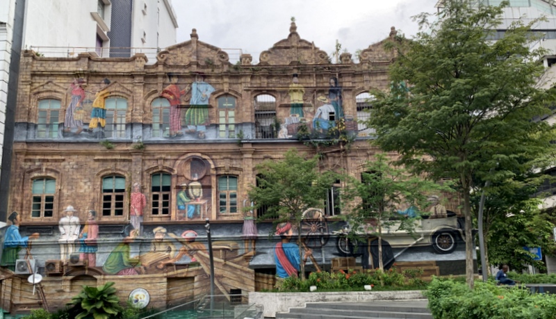
Before you reach the next bridge, there is interesting mural art. These three buildings are still in use, as can be concluded from the numerous aircon’s .

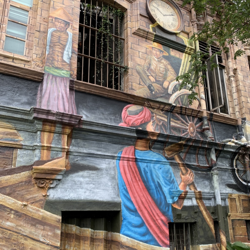
Almost next to it, this building looks vacated, not a good sign . The façade has been used to paint various sketches of Kuala Lumpur’s past

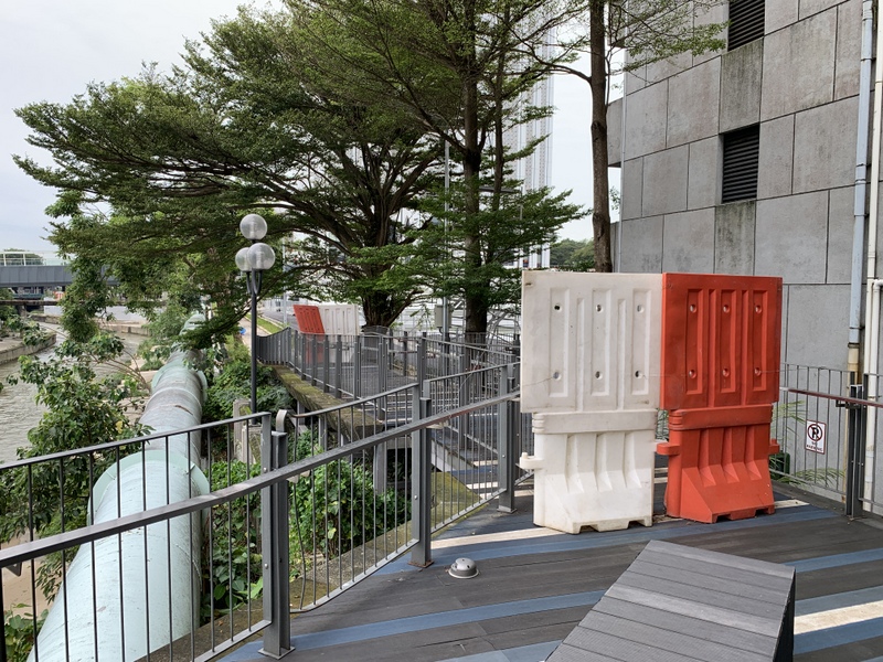
It looks like after the bridge you can continue at the same side of the river, but soon, the raod is blocked (left pic), so you have to cross the bridge here, where you can find a modern work of art. (right pic)
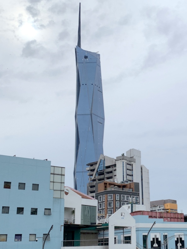
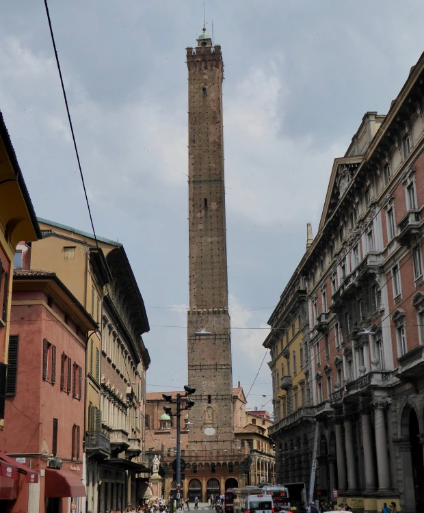
You will pass now the Central market (Art Deco , 1937). The left picture shows a part of its façade, with towering above it the new Merdeka 118 skyscraper, still under construction. It will become the second-tallest skyscraper in the world. I can’t resist the temptation to digress for a while. When I see a photo like this I immediately have the association with a phallic symbol and that these symbols have been constructed since time immemorial. The right pic shows the Asinelli tower in Bologna, built in 1107 😉 .
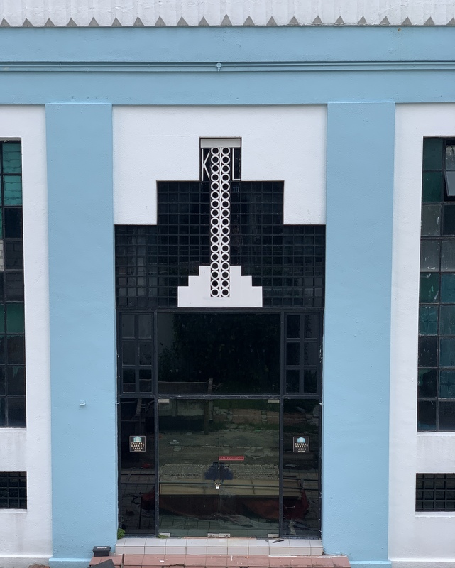
Left a detail of the Central Market and right one of my favourite buildings in KL, the Dayabumi building. Completed in 1984 and for one year the tallest skyscraper of Malaysia. For me it is a fine example of Islamic Architecture.

Passing the Dayabumi complex (left) we reach the Pasar Seni LRT station (right in the center), where we cross again the river.
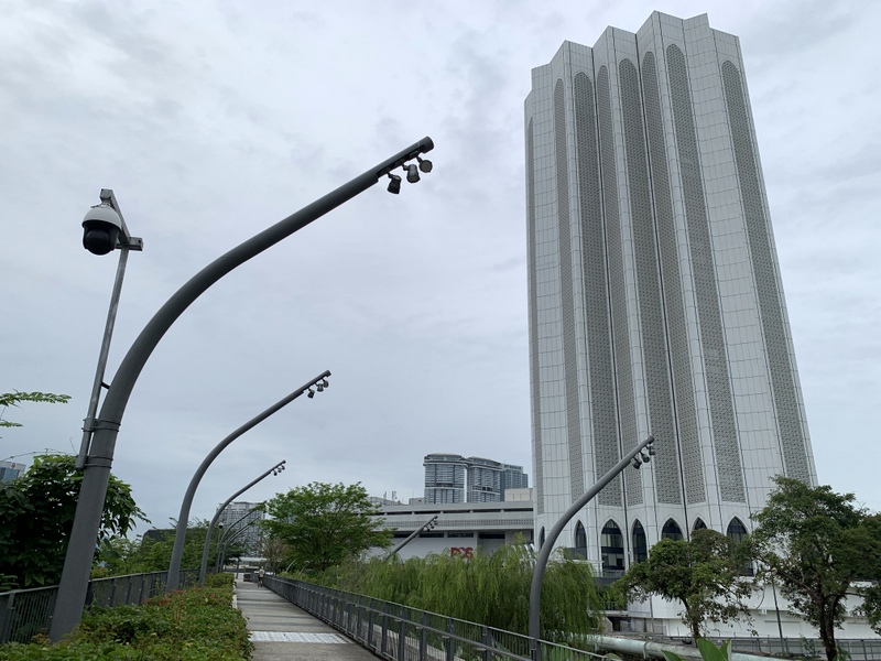

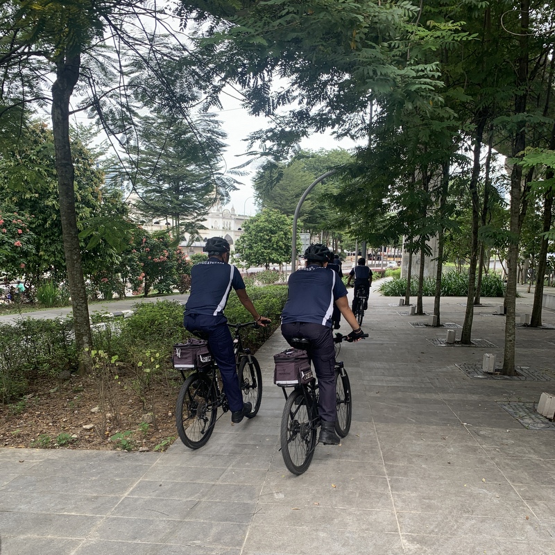
From there we followed the same route as during our first trip, so not many photos. It is basically a bicycle lane and we noticed a few cyclists.
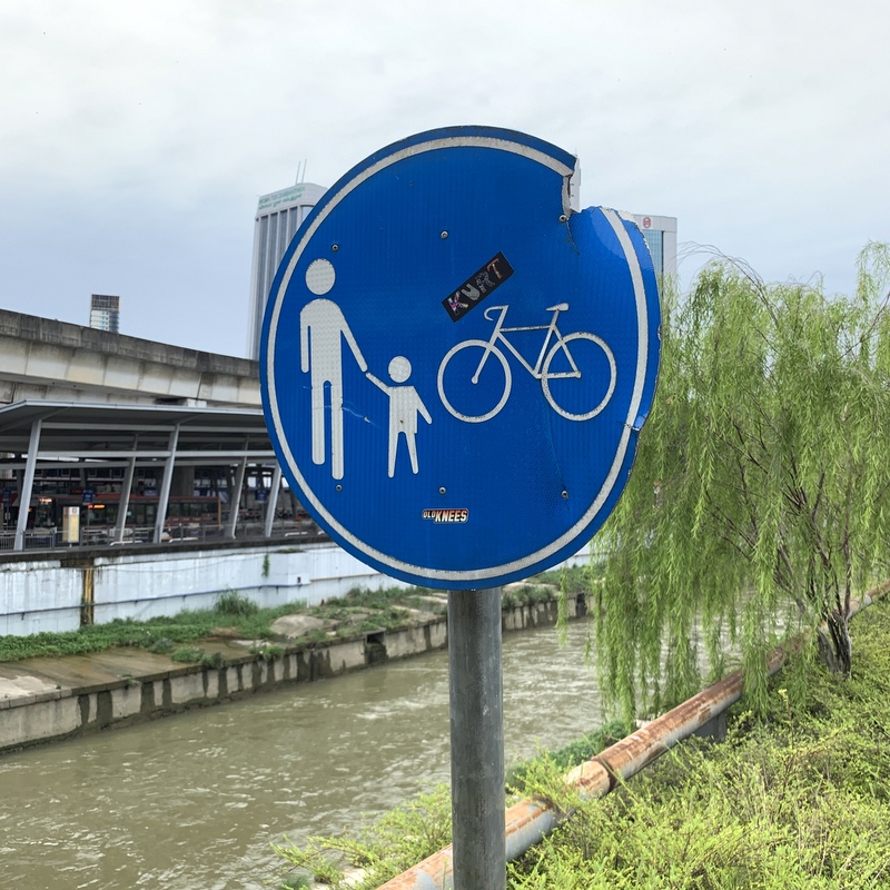
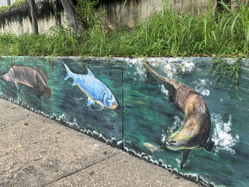
Mural art (left) and the Tun Sambanthan monorail station in Brickfields (right)
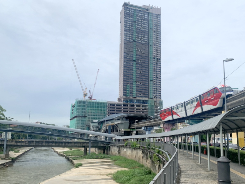
This time we decided to cross a bridge and continue at the other side of the river, so we didn’t walk through Brickfields. Distance is a bit shorter, but it is not interesting at all.


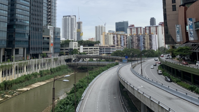
And there is one part where you have to walk a few meter away from busy, noisy highway traffic. Really to be avoided.

The Kalaimman temple is at the other side of the river. The majestic tree is now even more impressive

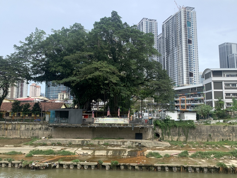
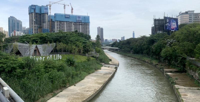
As soon as possible we crossed back to the other side of the river, and continued the trail until where we had started during our first trip. There was a sign near the building that it is the Southern Gallery. Completely empty, maybe there are plans to put some exhibits inside.
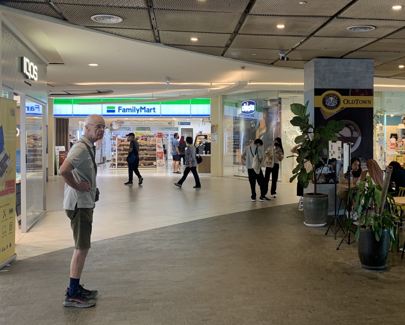
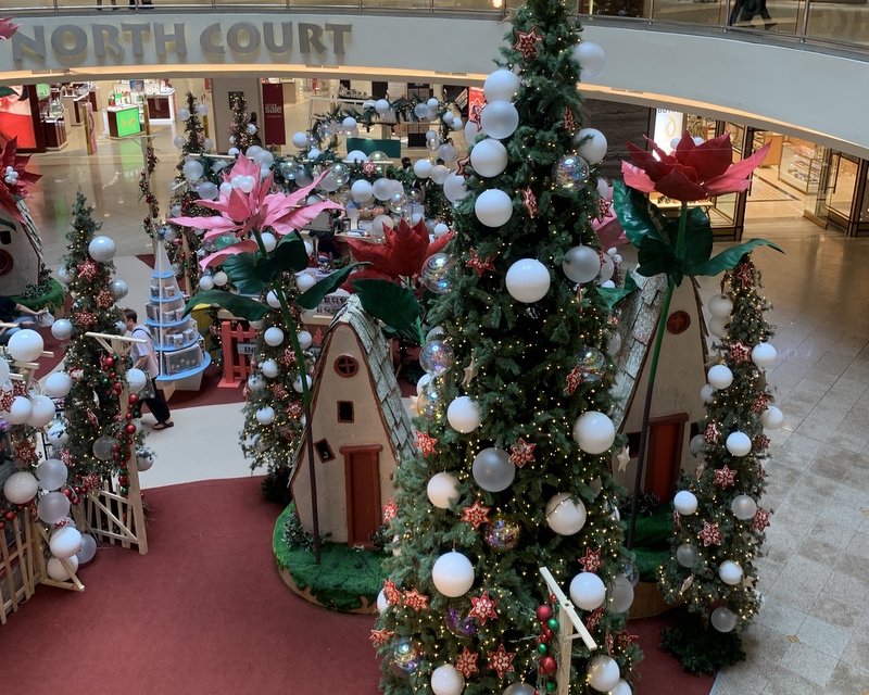
To reach the Abdullah Hukum LRT station we had to cross the Midvalley complex, where you can get easily get lost. Christmas atmosphere.
To reach the station we had to cross once more the Klang river.
Here is a Google Earth map of our walk, in green. For comparison also the route of the first trip is shown (in yellow) . Notice the part where we walked at the other side of the river, avoiding Brickfields. To be avoided at all costs, Brickfields is much more interesting,
