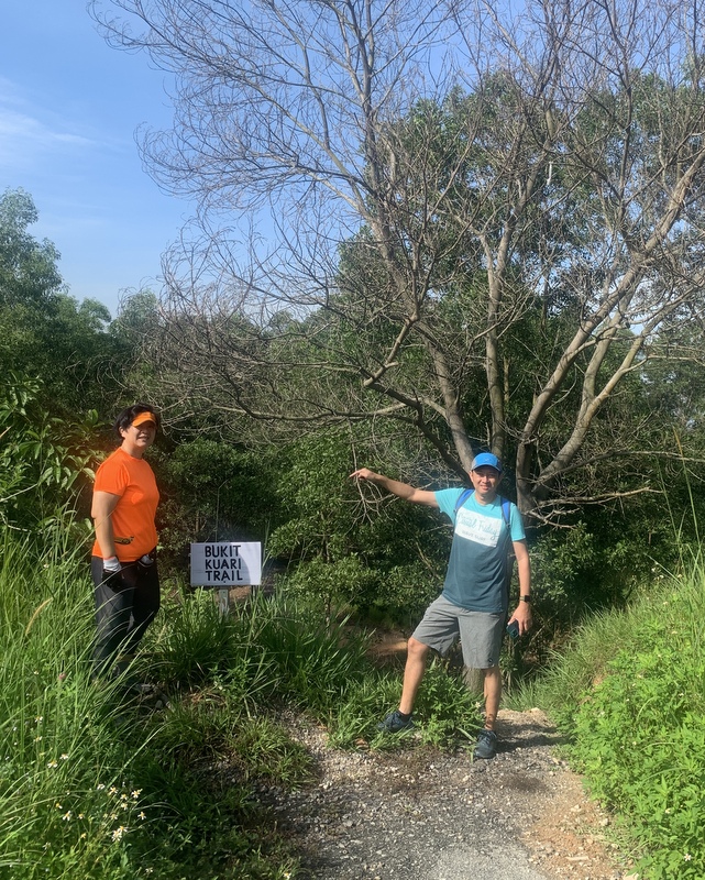
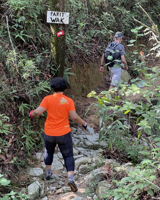
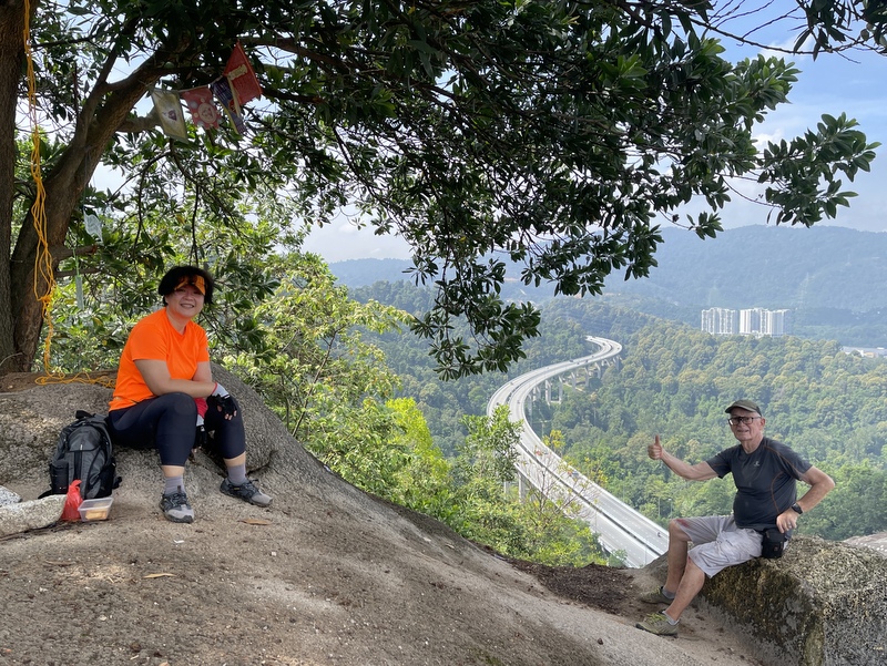
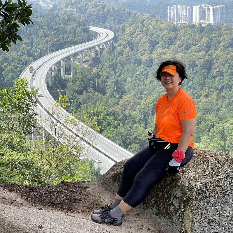
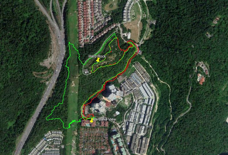
About two months ago I wrote a blog about Bukit Lanjan. Although these days Bukit Kiara is open again, I still hike regularly in my “backyard”. A group of active hikers living in Damansara Perdana is maintaining the trails and exploring new ones. One of their recent discoveries is a rocky outcrop, from where you have a nice view of the surroundings. It is becoming popular now, a nice place to relax and have a coffee or a beer. Aptly named the Hard Rock Café. The red track in the GE screenshot below is a short and interesting route to the Hard Rock.
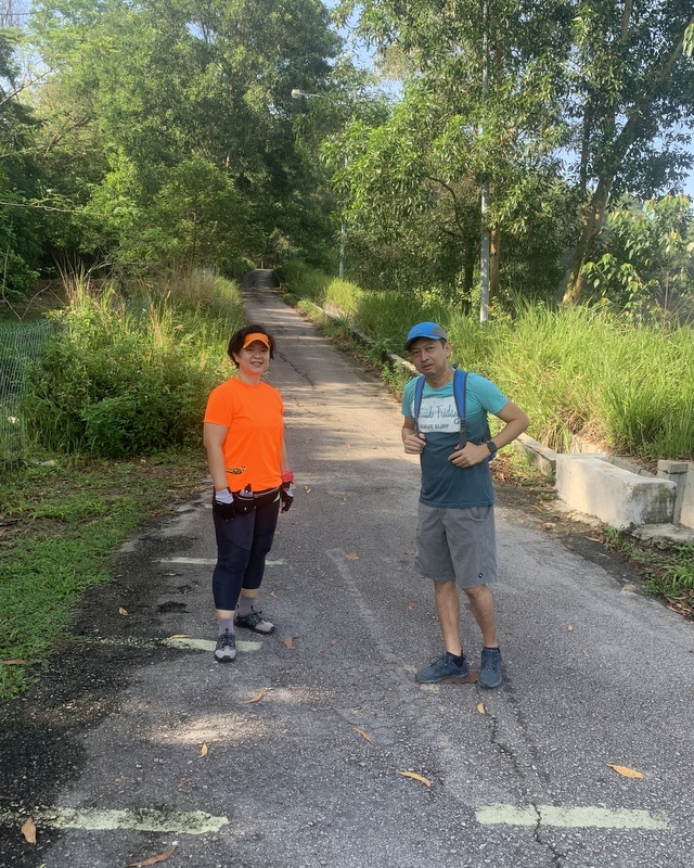
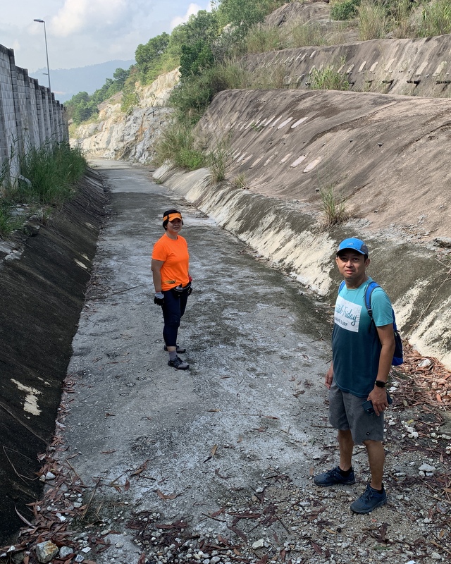
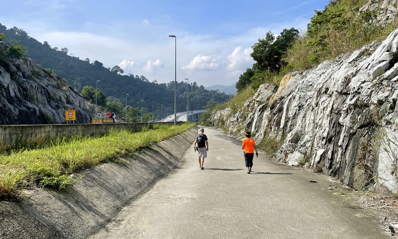
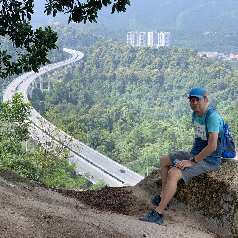
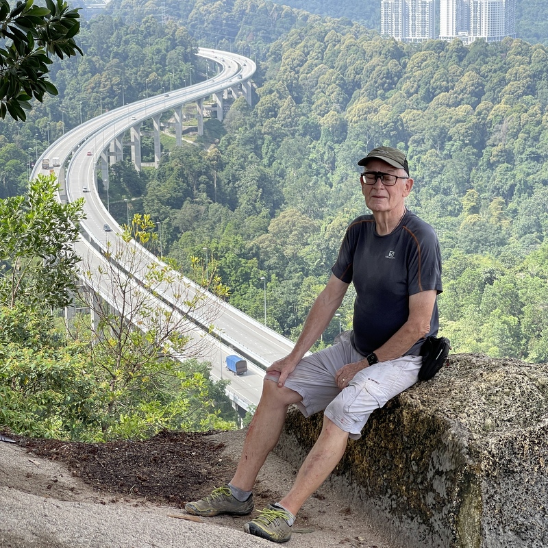
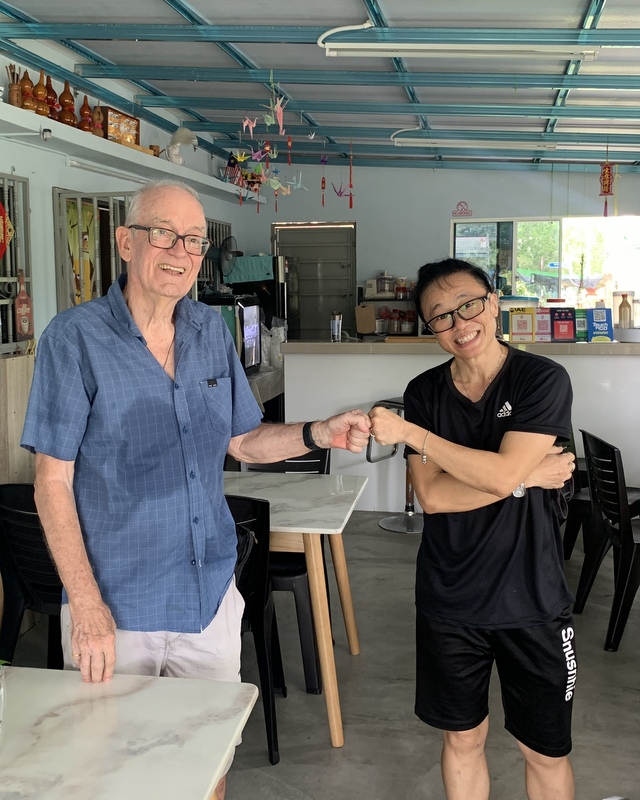
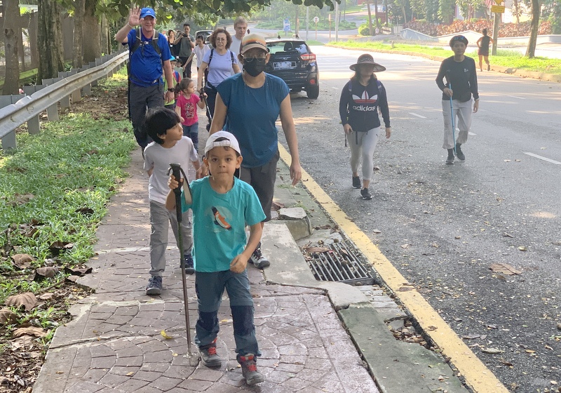
Yesterday I went again, with my friend Bee. We started from my condo and met a group of Armanee Condo parents with their kids, also going for a hike. Good initiative, in Dutch we have an expression: Jong geleerd is oud gedaan. (Google for a translation)
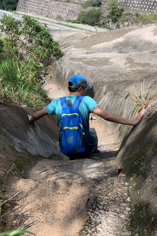
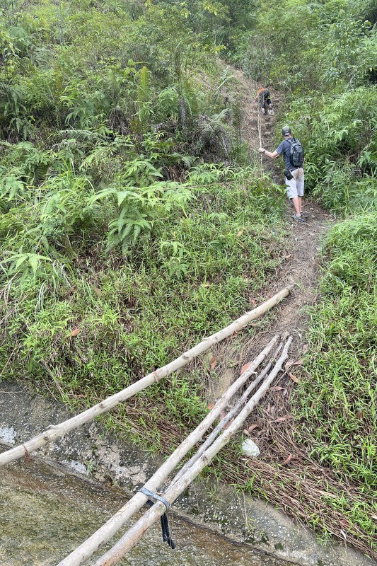
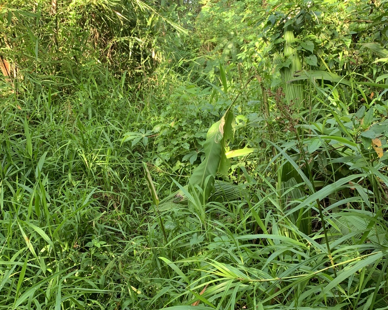
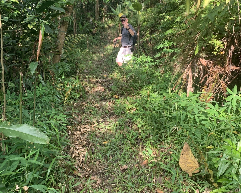
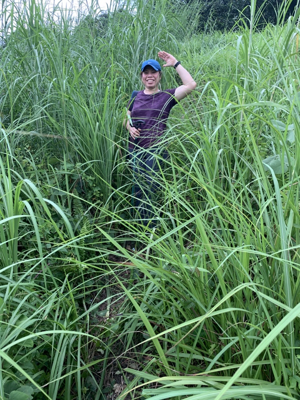
We started with the pink trail (see map). Last week I had noticed that parts of it were almost overgrown. I had mentioned it in the chat group and the trailblazers replied that they would take care of it. They did, here is the amazing result. Left the situation one week ago.
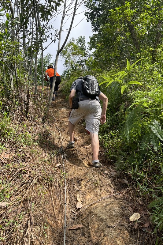
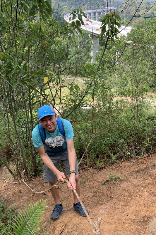
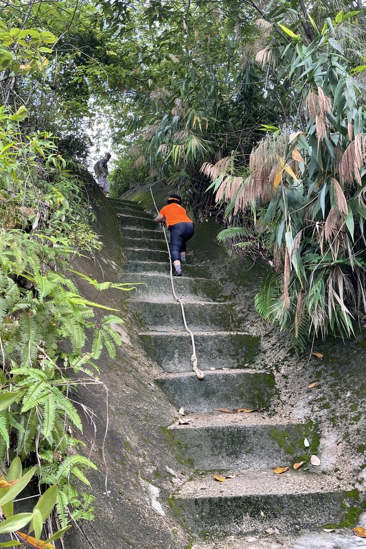
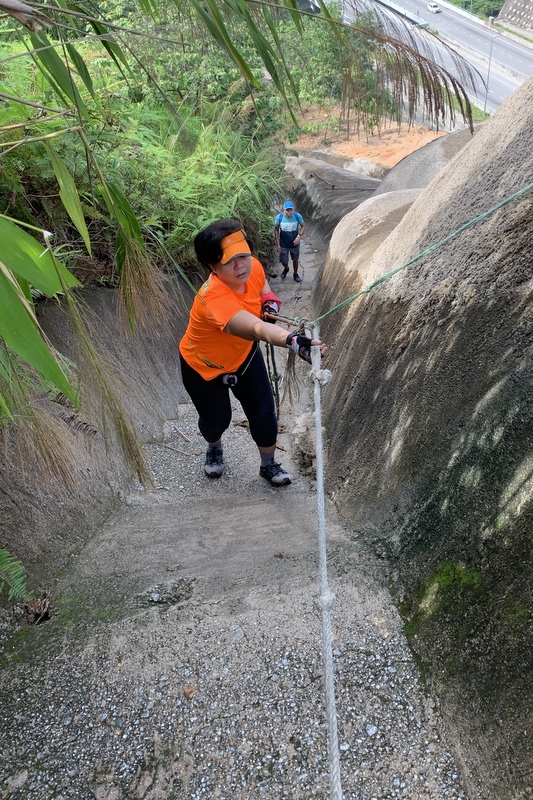
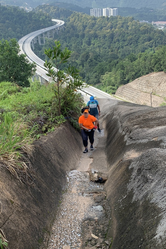
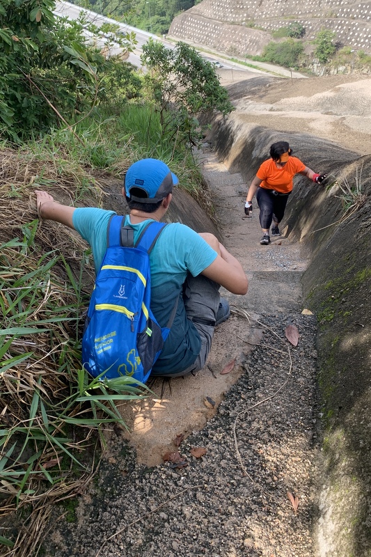
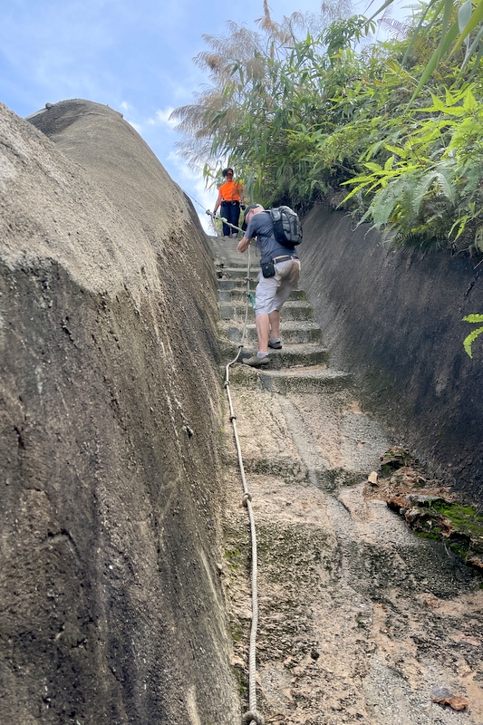
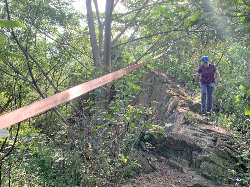
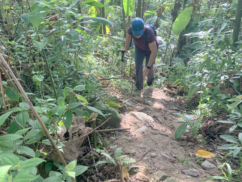
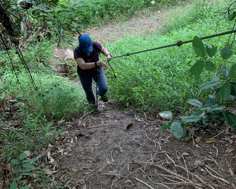
I like the pink trail, the few steep parts are provided with ropes.
On the rocky outcrop we met the parents and their kids again. Really nice!
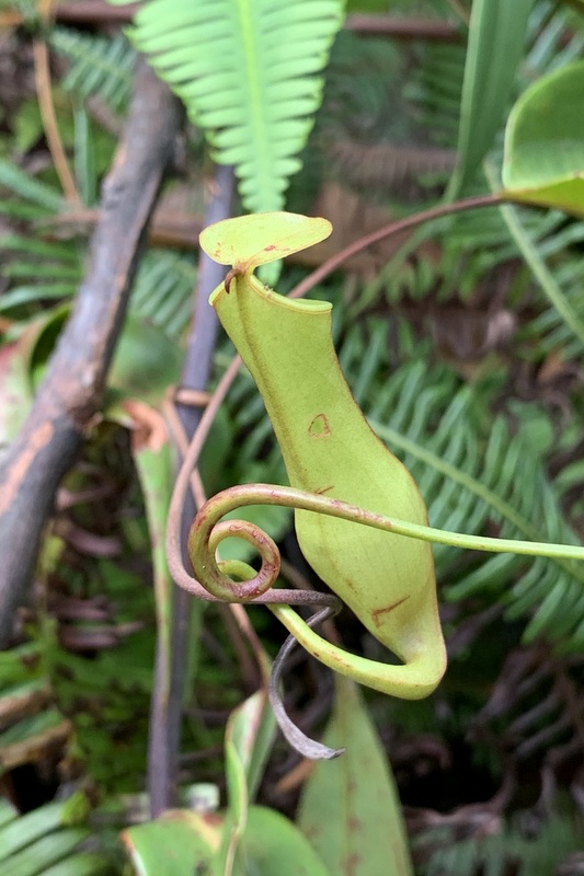
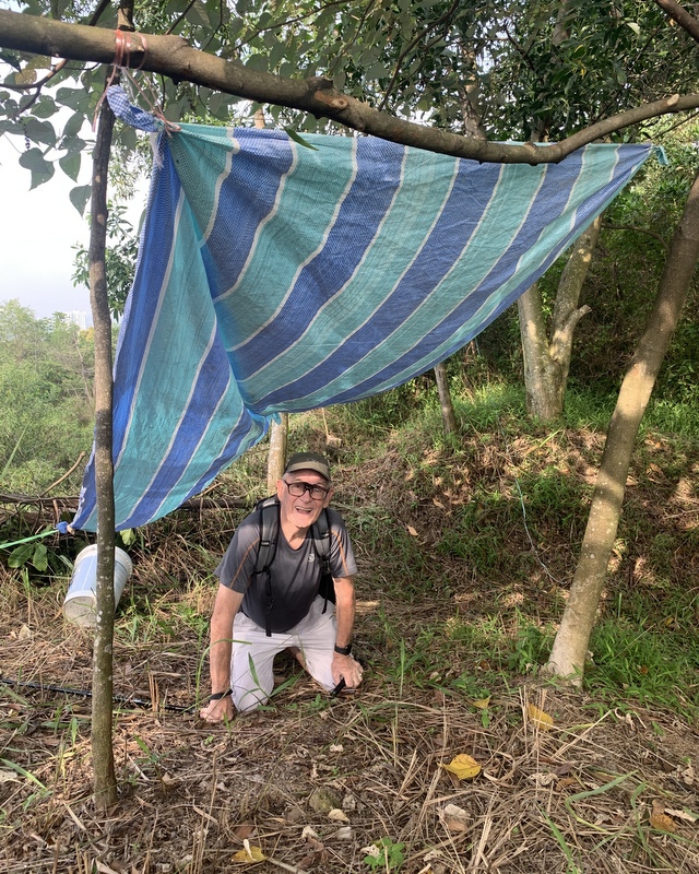
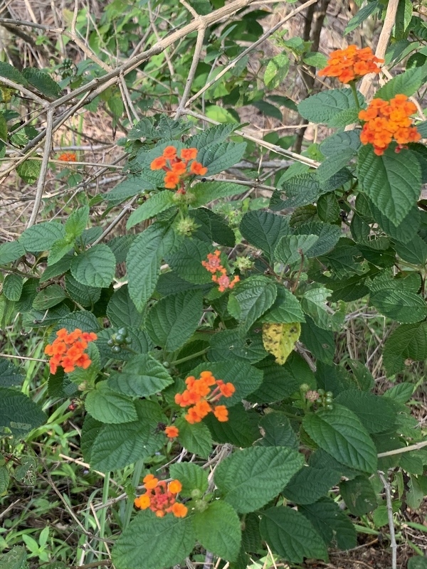
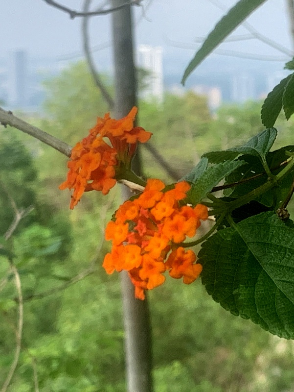
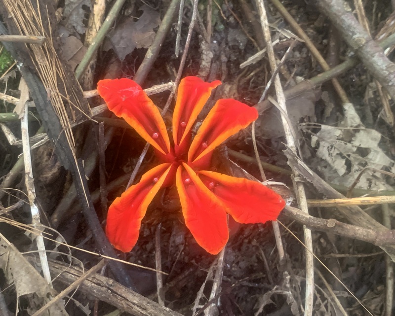
A tarp is under construction for shelter in case of rain. I noticed some nice flowers
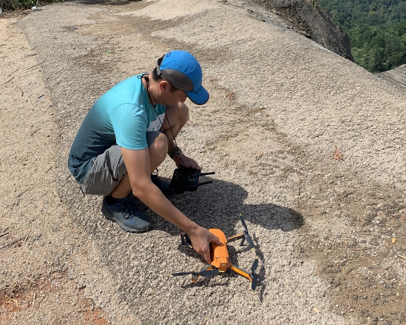
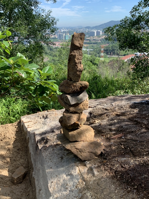
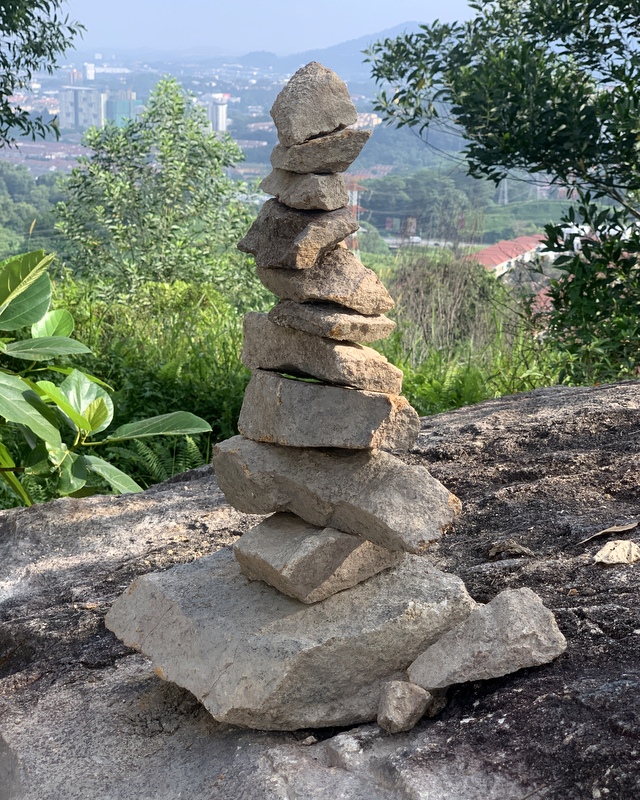
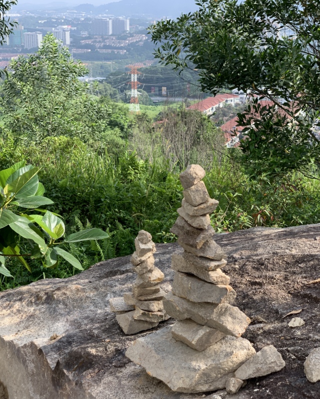
When I visited the Hard Rock two weeks ago with my friend Rahim, he constructed a nice rock cairn. They are not meant for eternity, rain or strong wind can make them collapse. One week later, a new smaller one had been created, and this time nothing was left.
2 May 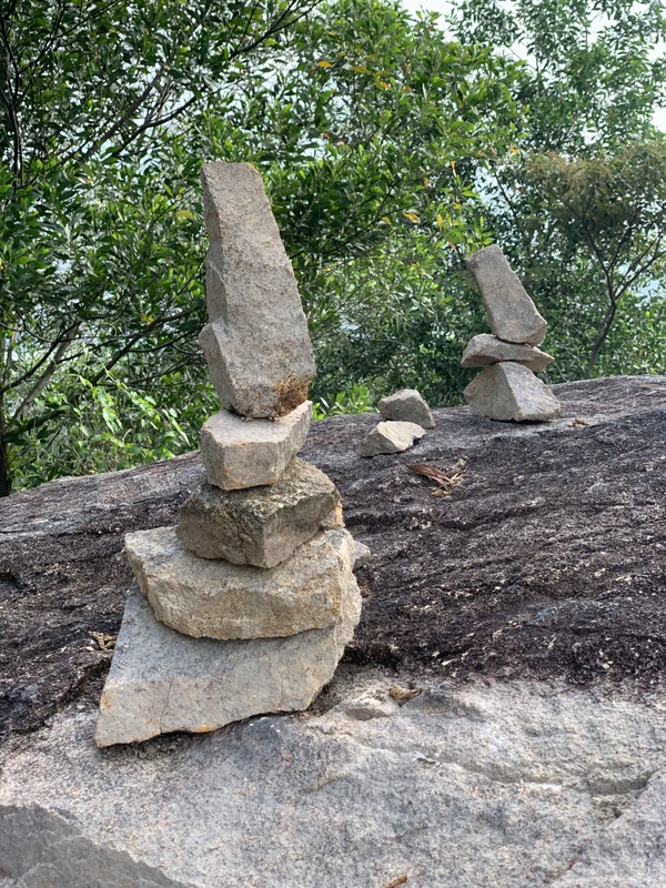
8 May 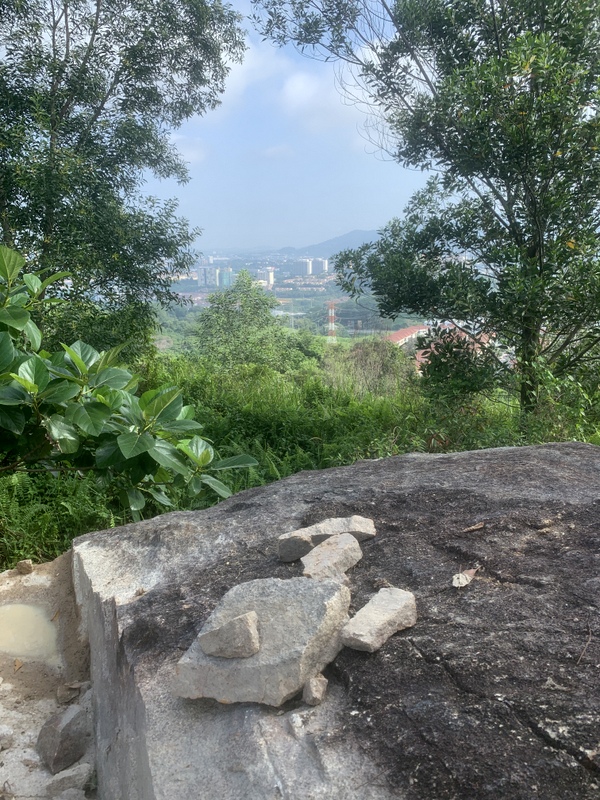
15 May
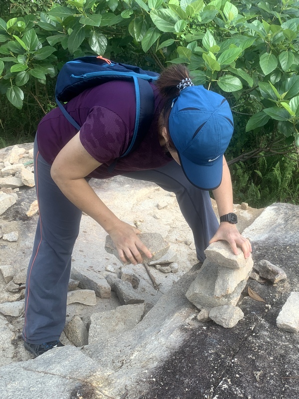
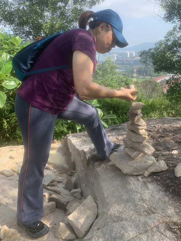
Here Bee is creating a new one.
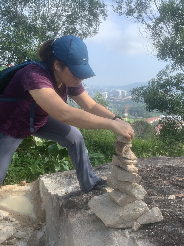
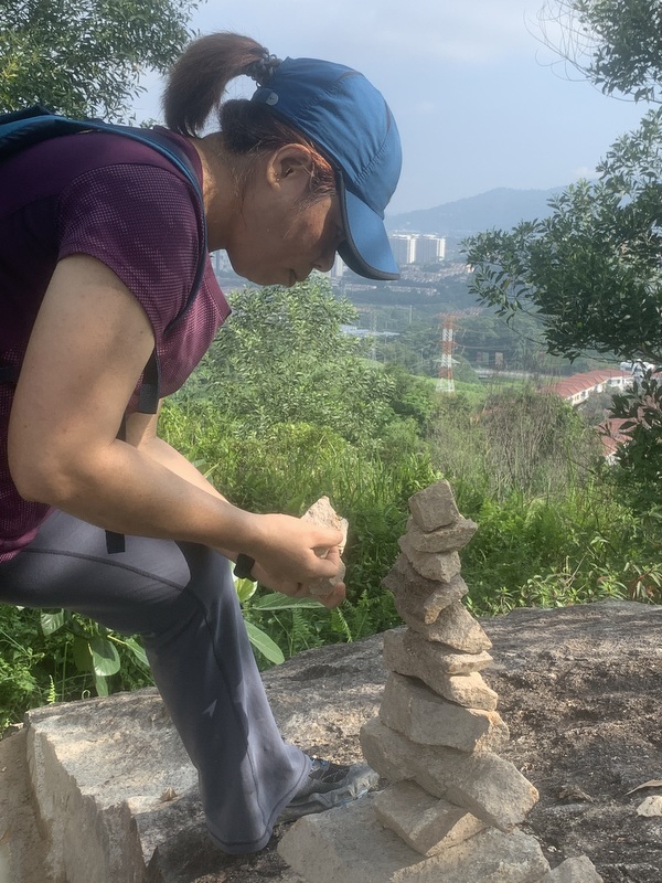
And here is the result. Mother and child. When I visited a waterfall , I always left a cairn. Here is a blog about it: Rock Balancing.
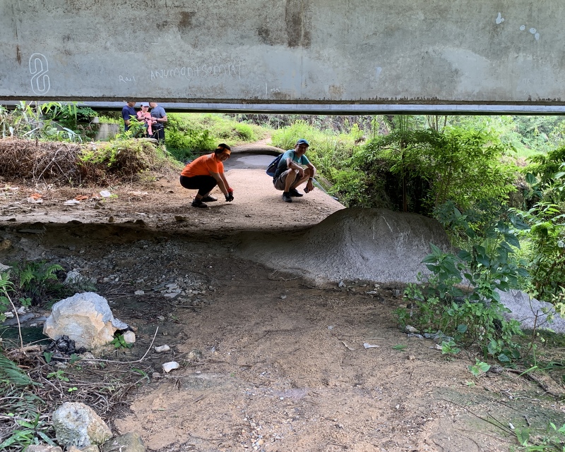
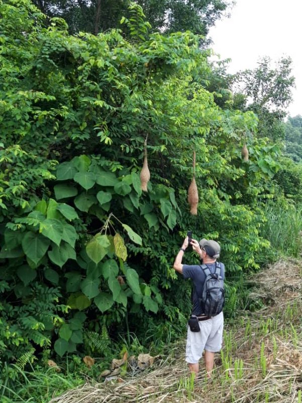
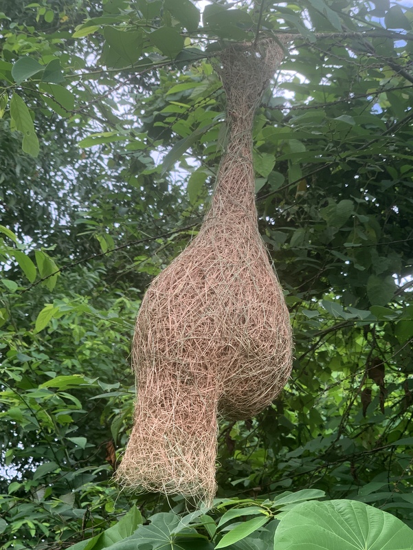
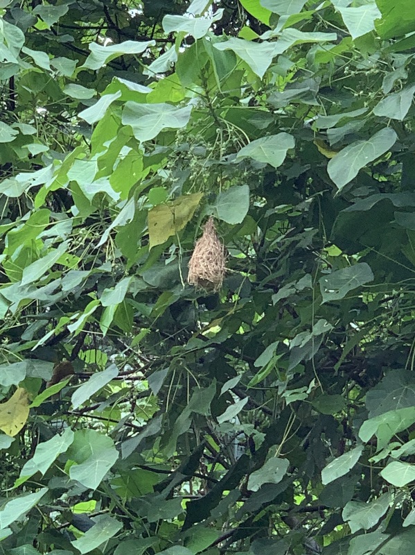
After the Hard Rock Café we did not yet go back, but continued to the maroon traill (see map). A hiker friend had spotted hanging bird nests along the trail at two locations. It was no problem to find them.
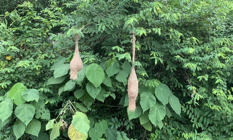
These nests have been created by Baya Weaver birds. Fascinating. The nests were not used at the moment.

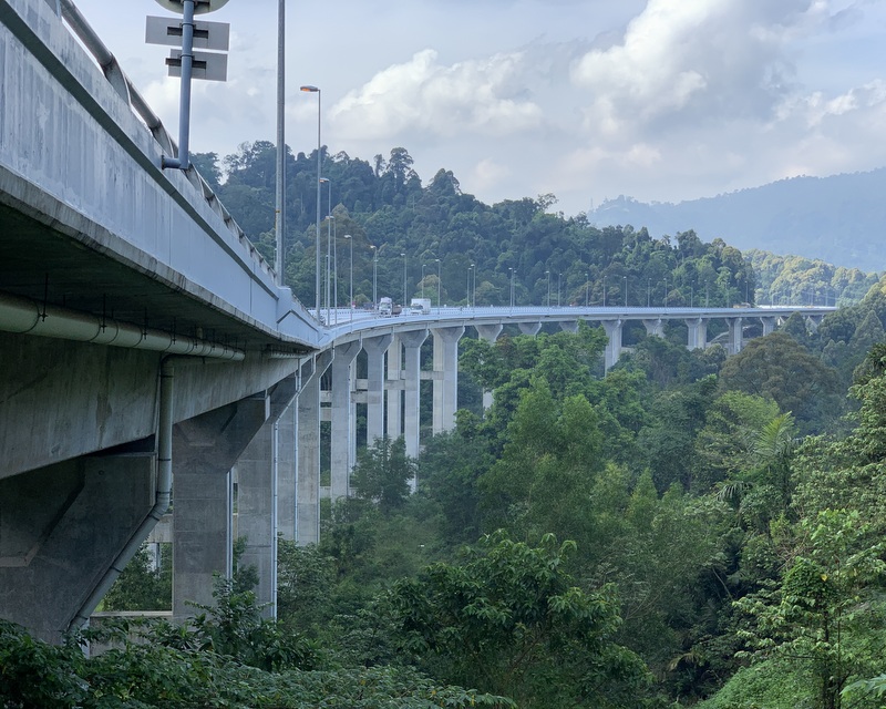
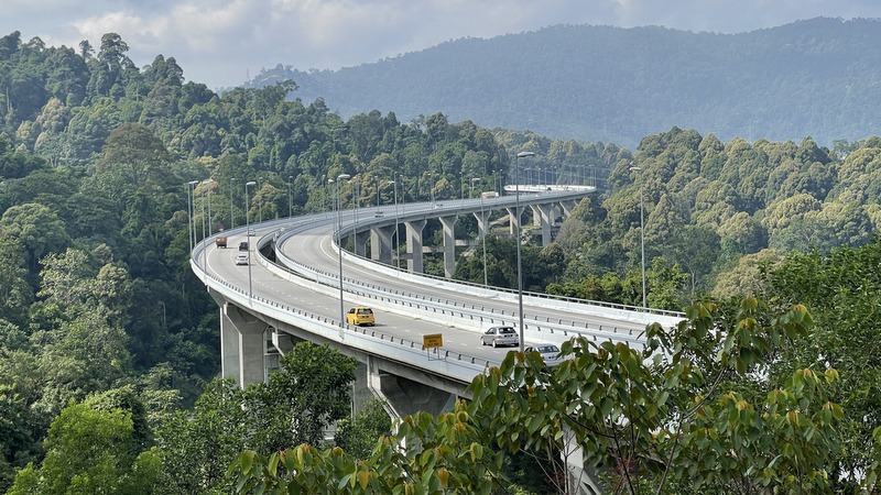
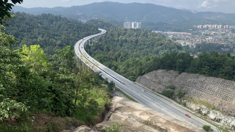
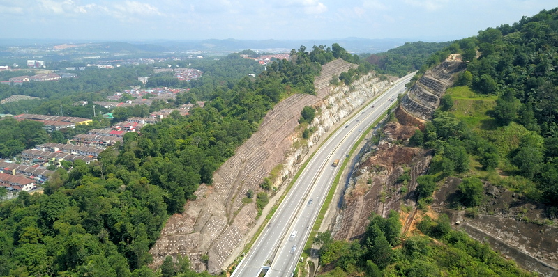
The maroon trail is longer with many steep parts.. A disadvantage is that part of it runs quite close to the highway, therefore very noisy. Ropes are helpful and we found numerous ginger flowers this time.
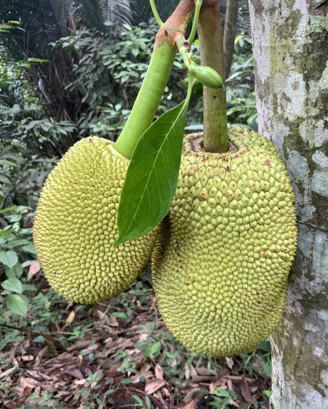
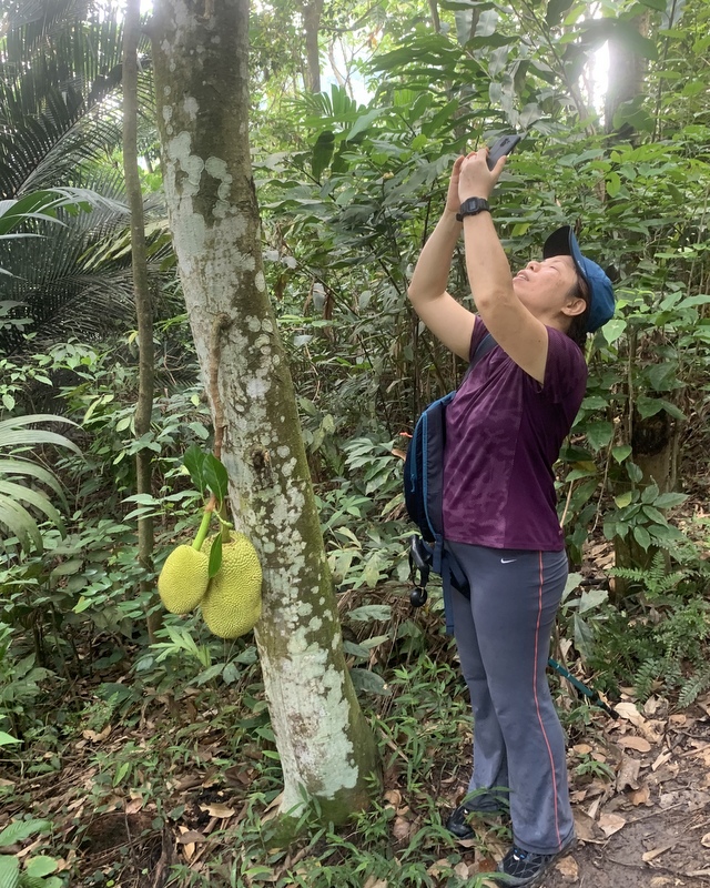
We also found a nice jackfruit tree.. Bee spotted more fruits high up in the tree
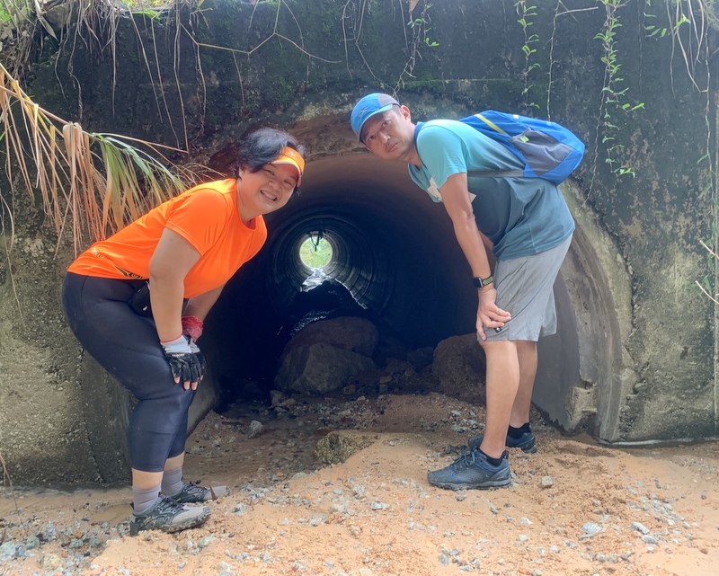
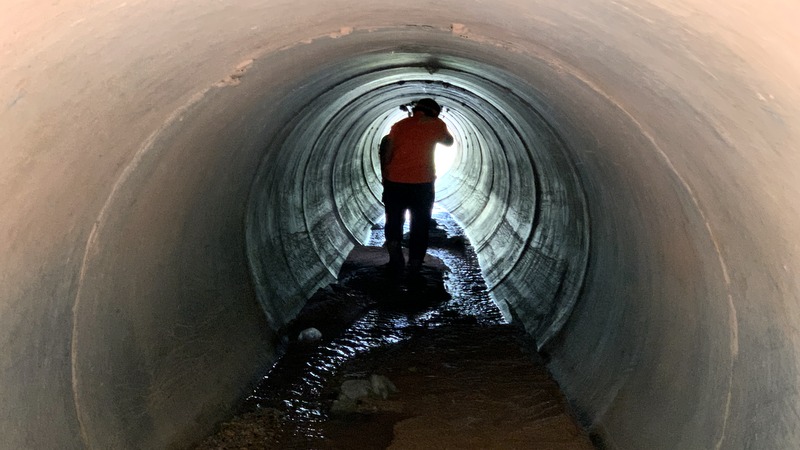
The second location of weaver nests had only one nest, high up in a tree. To get back home we got lost for a while, finally we found the trail, completely overgrown..
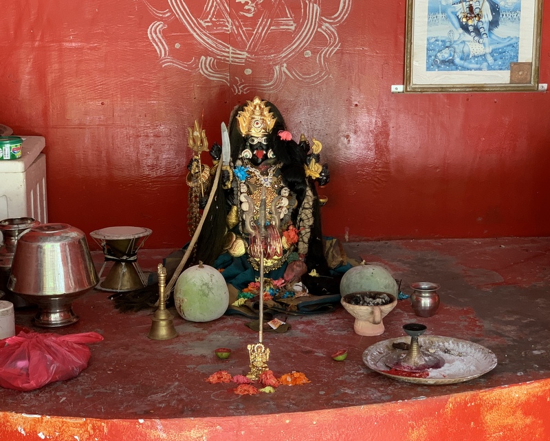
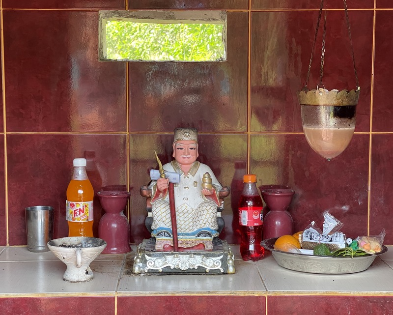
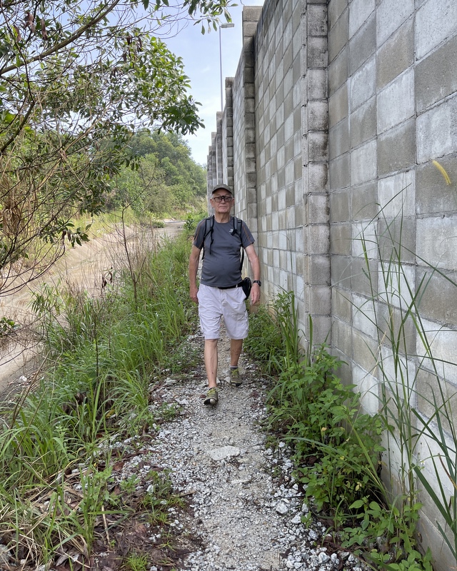
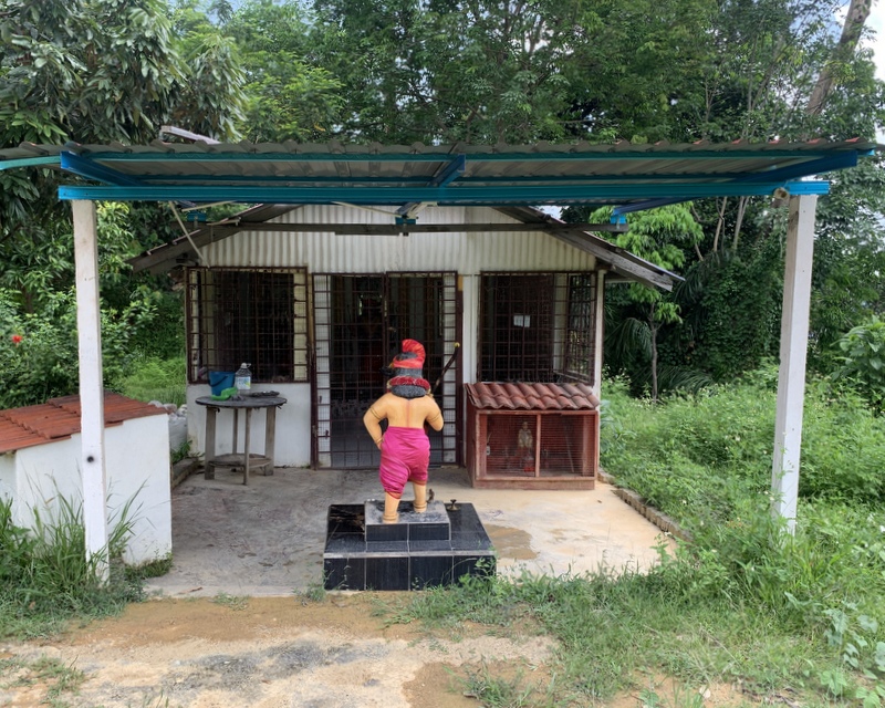
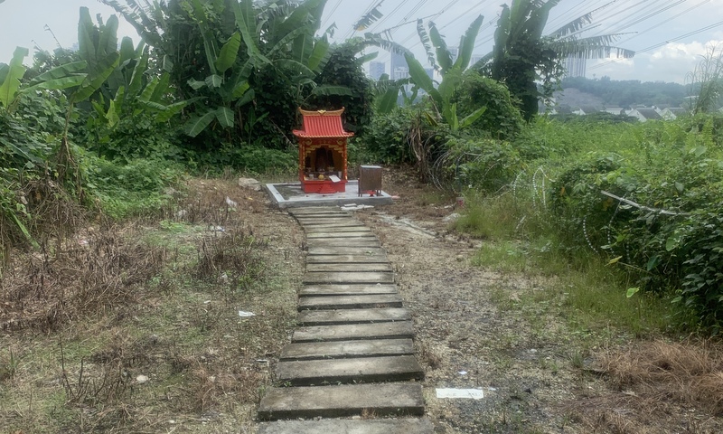
We finished our hike at the Datuk Shrine next to Perdana View condo. For reasons unknown to me, MK Land had blocked the exit with barbed wire, but you can still pass without problems.
Total hiking distance and time 5 km. 3 hours (including many stops)