When I decided to come back to the Netherlands in October, I knew the weather could be unpredictable, hesitating between autumn and winter. In old times October was called the aarselmaand (hesitation month)
So it was an unexpected, but very pleasant surprise that my first weekend was warm and sunny, even breaking records!
Here is a report about three summer days in October. Click on a picture to enlarge it
Saturday 14 October
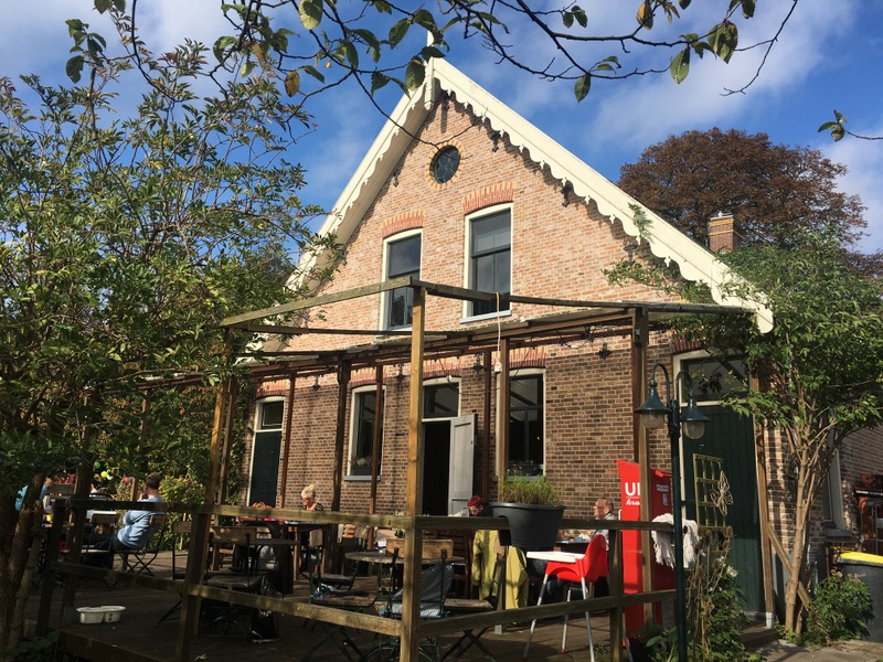
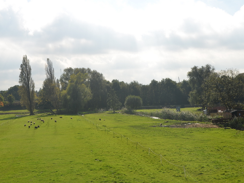
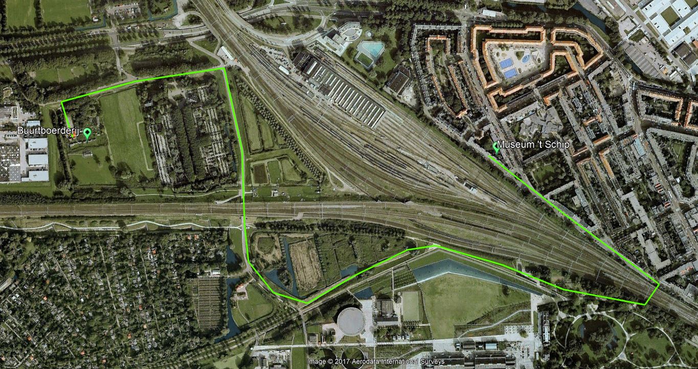
With my brother Ruud I visited the Spaardammerbuurt, famous for its Amsterdamse School architecture. First we had coffee and cake in the Buurtboerderij Ons Genoegen. This “farm within the city” dates back to 1880, was almost demolished around 2001, but just in time saved by a group of concerned citizens. More about this interesting story can be read here (in Dutch). It is amazing that such a rural enclave exists, sandwiched between two railway lines.
We walked from the Buurtboerderij to Het Schip following this route. Not the shortest one, but worthwhile, you don’t realise that you are surrounded by development

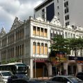
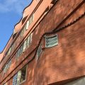
When we arrived in the Spaarndammerbuurt, we were a bit disappointed to see that Het Schip, the famous creation of architect de Klerk, was being renovated, so I took only a few pictures. You can find more in an earlier blog Amsterdam Architecture
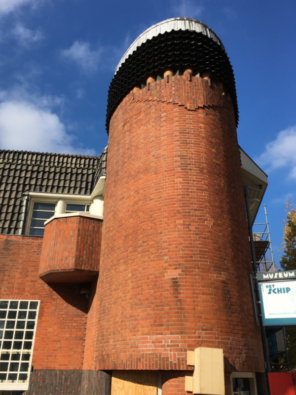
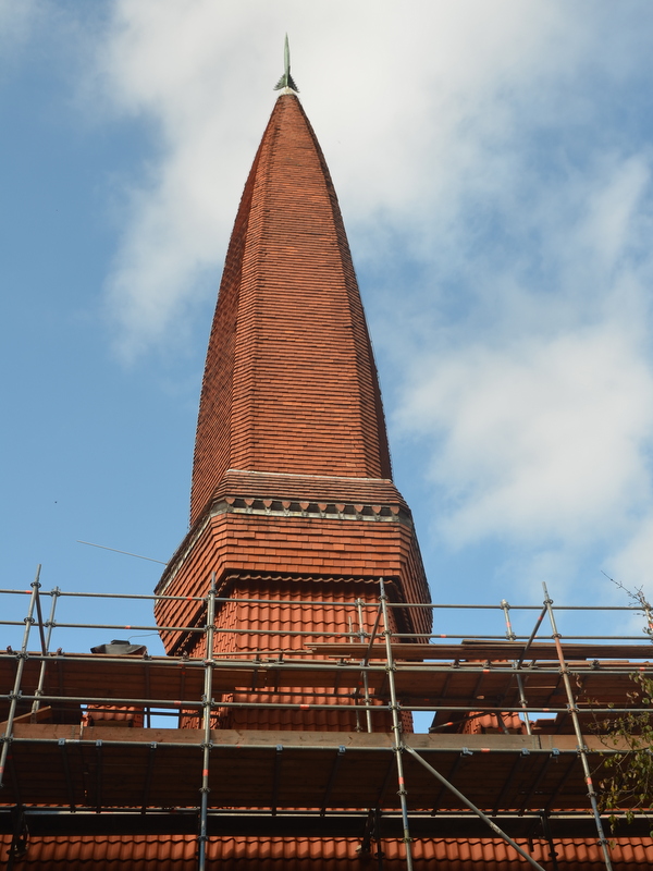
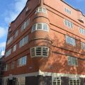
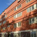
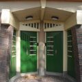
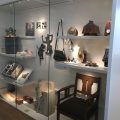
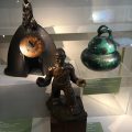
During my last visit the Schip museum was closed, fortunately it was was open now. It is housed in a former school building and worth visiting.
-
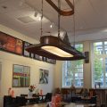
- Museum Cafe
-
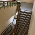
- Former school building

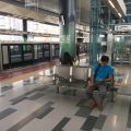
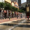
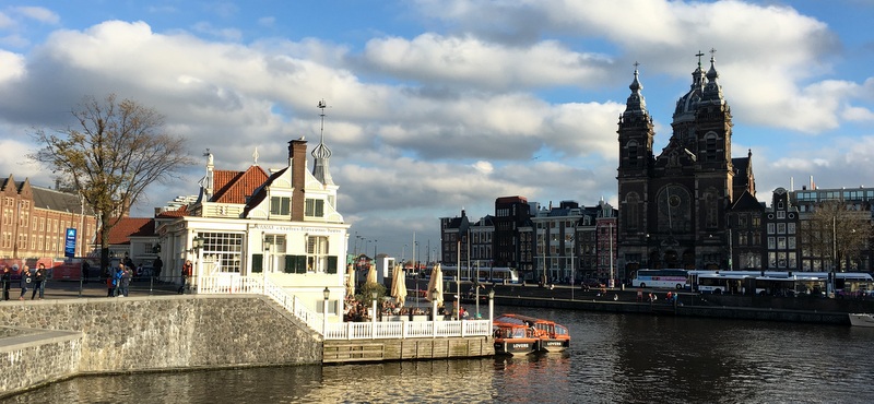
We ended our trip at the Central Station. Beautiful weather and the forecast for the next day was even better…:-)
Sunday 15 October
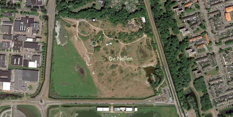
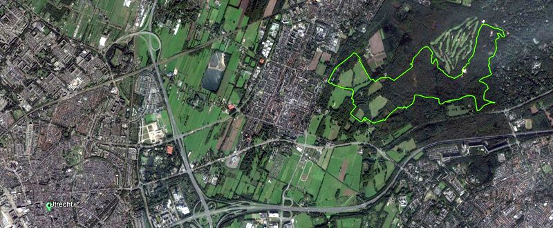
The second day I went with my friend Yolanda to the Utrecht Hill Ridge, a forested ridge of low sandhills, created 150.000 years ago as a moraine during one of the glacial periods. We followed a marked hiking trail of 12 km, indicated on the Google Earth map below.
It was a pleasant, easy walk.
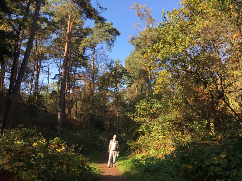
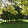
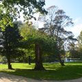
Our hike took us to the Beerschoten and Houdringe estates and to the Pan forest. Stately lanes, beech and oak forest

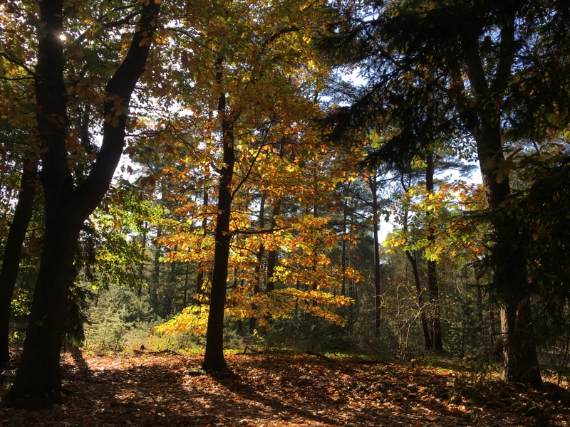
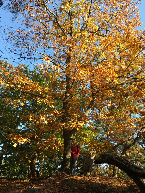
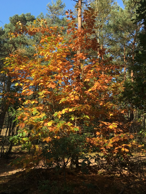
Many trees had beautiful autumn colours.
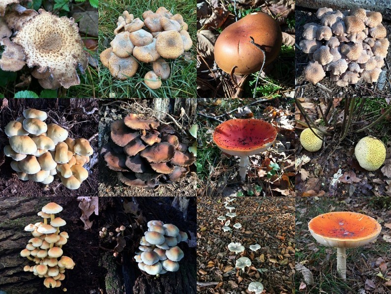
Mushrooms all over the place.
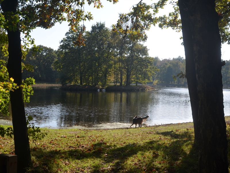
Hard to imagine that in winter this nice lake will become a skating rink.

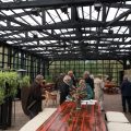
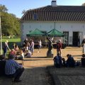
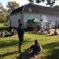
The former coach house of the Beerschoten Estate now houses an information center
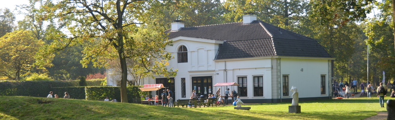
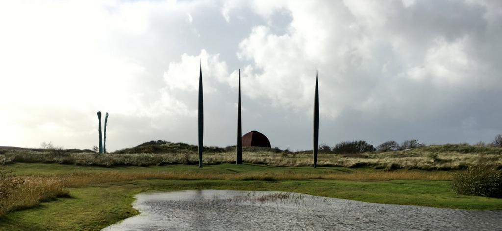
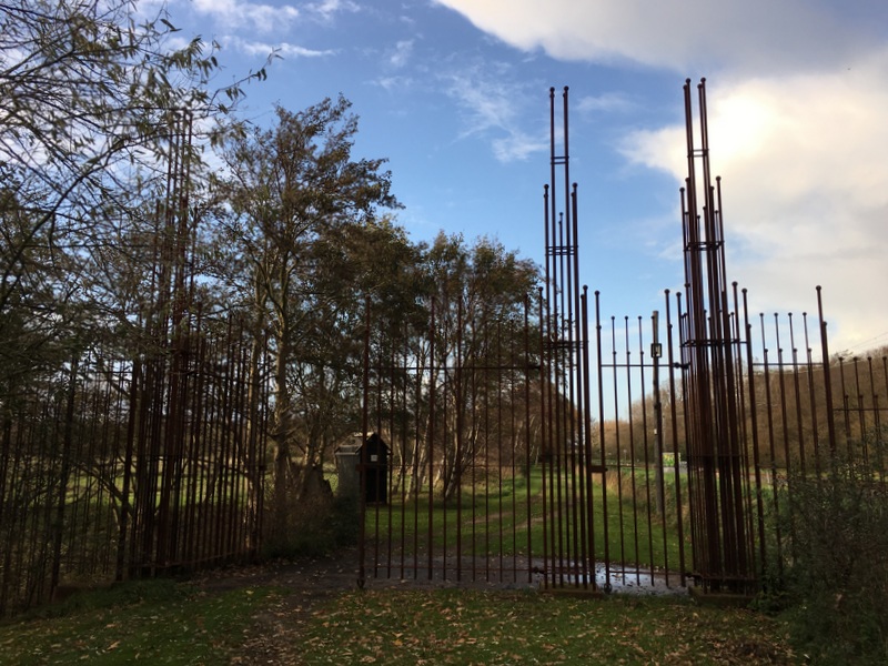
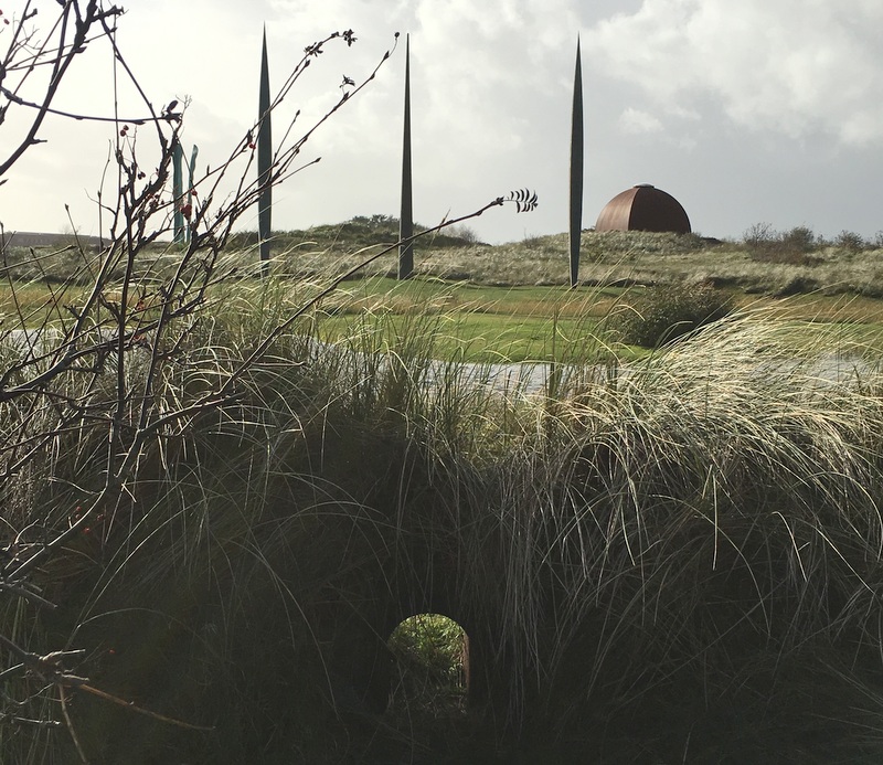
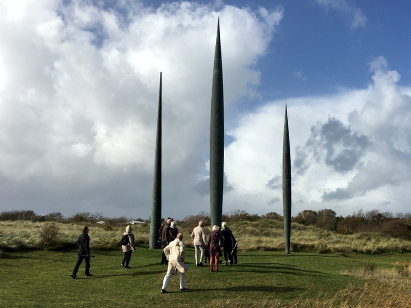
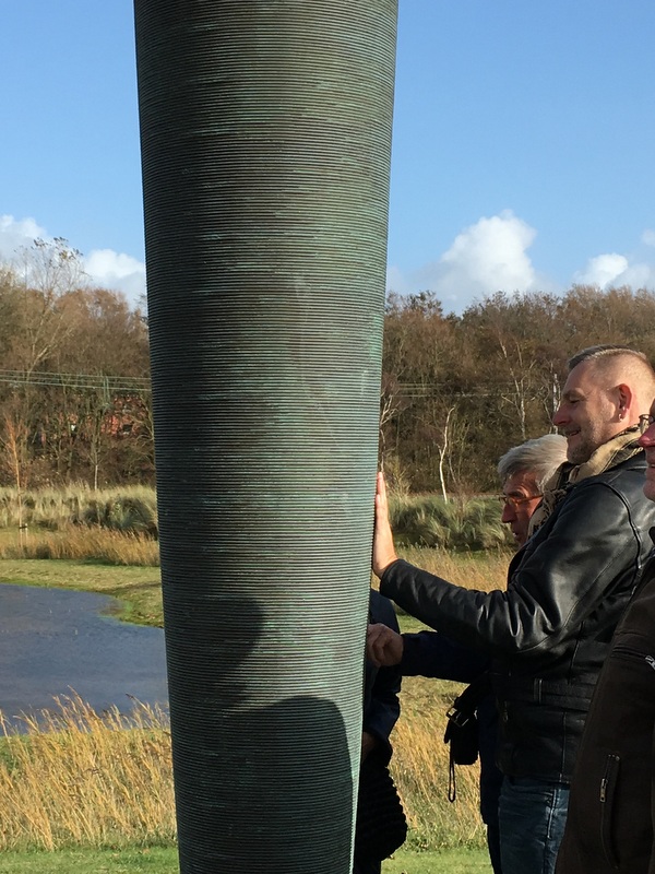
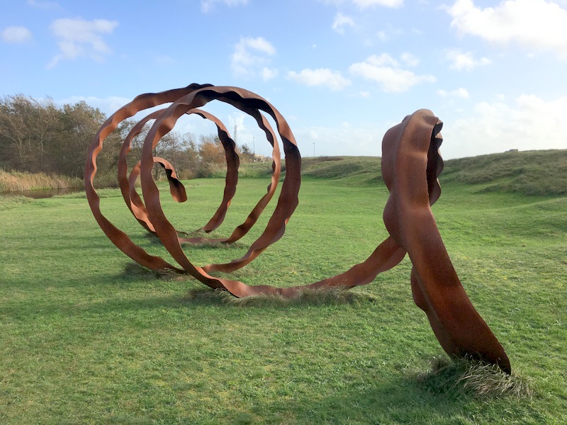
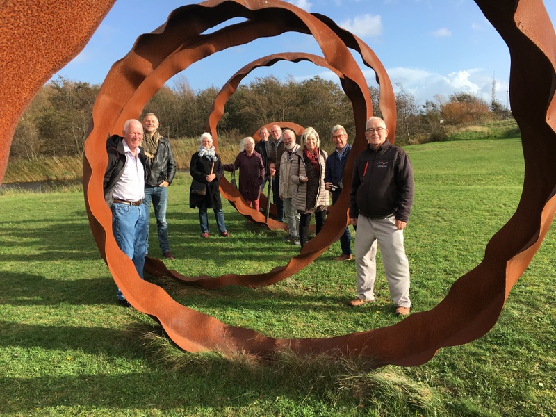
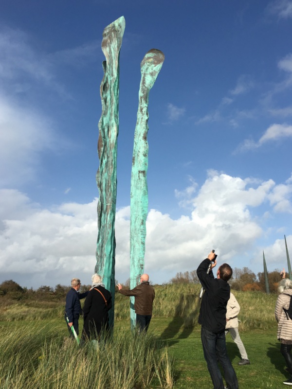
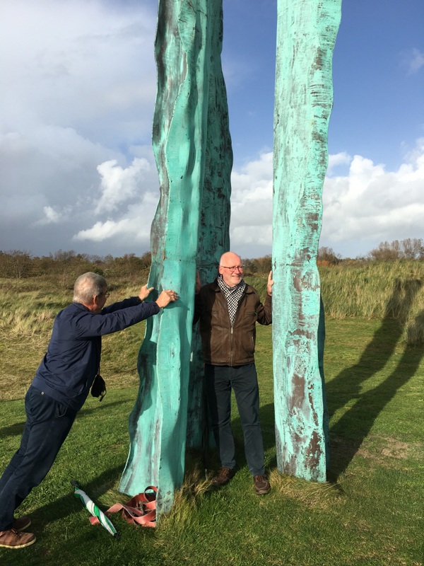
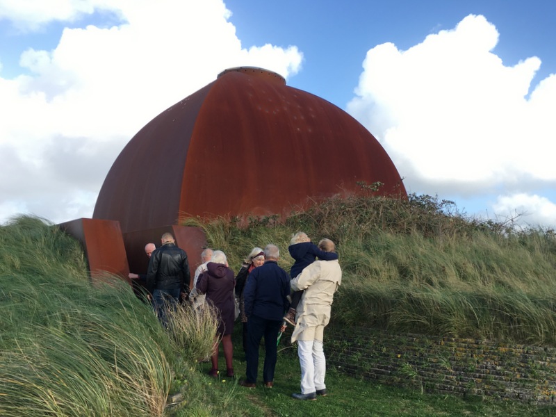
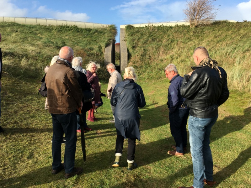
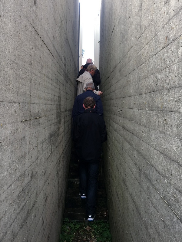
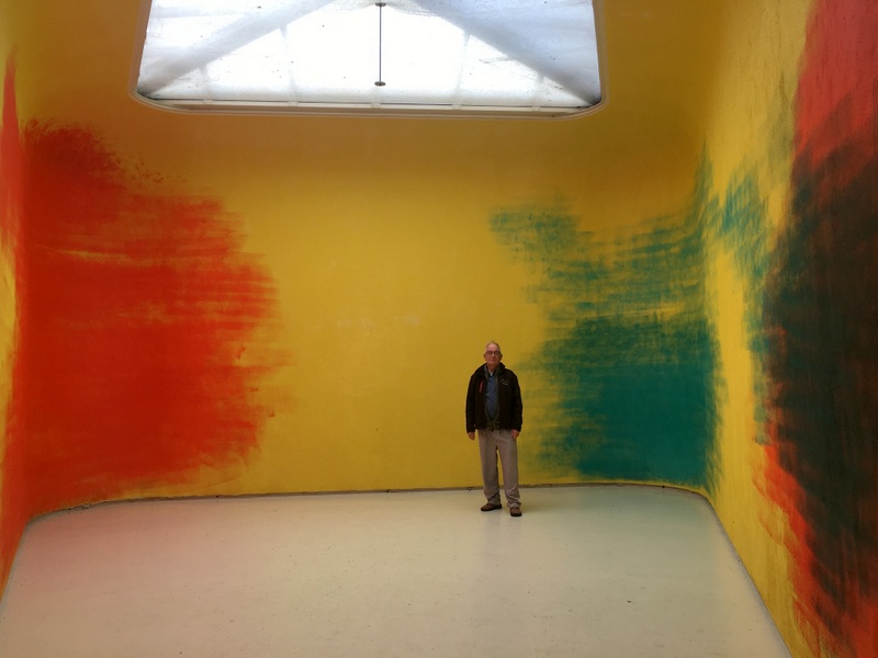
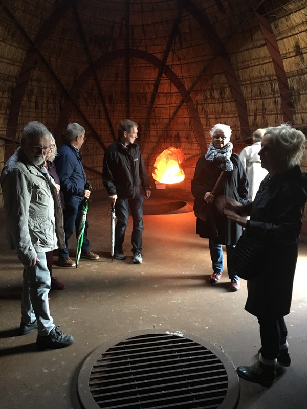
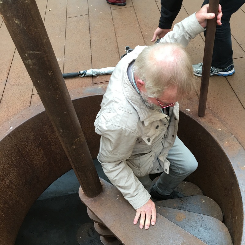
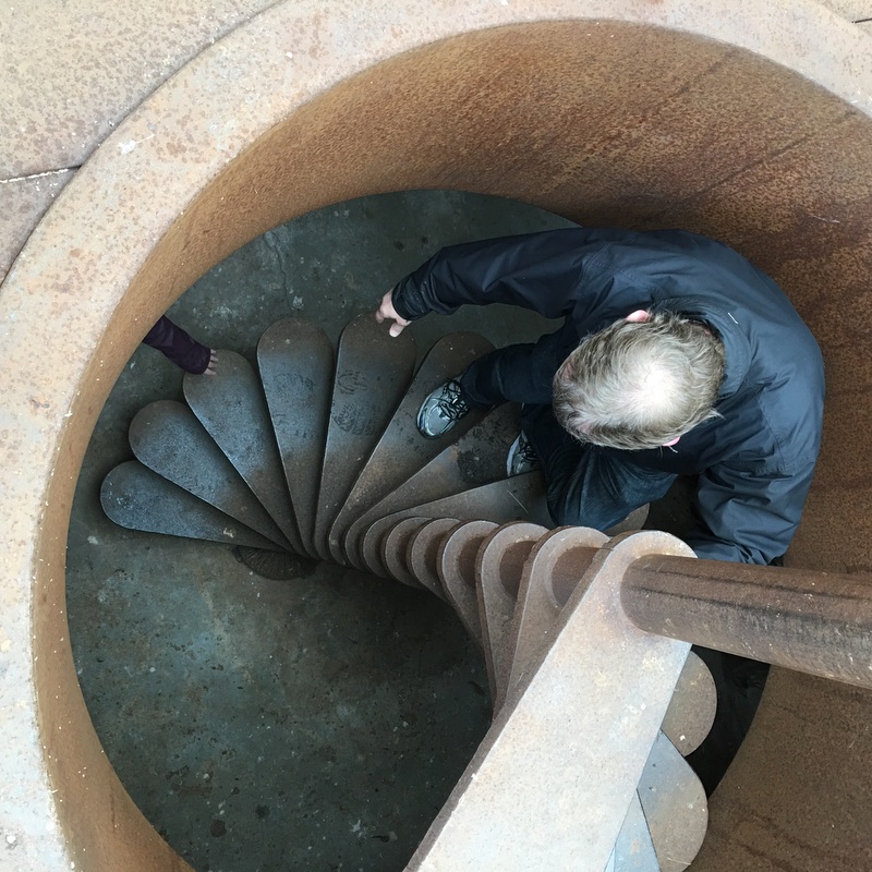
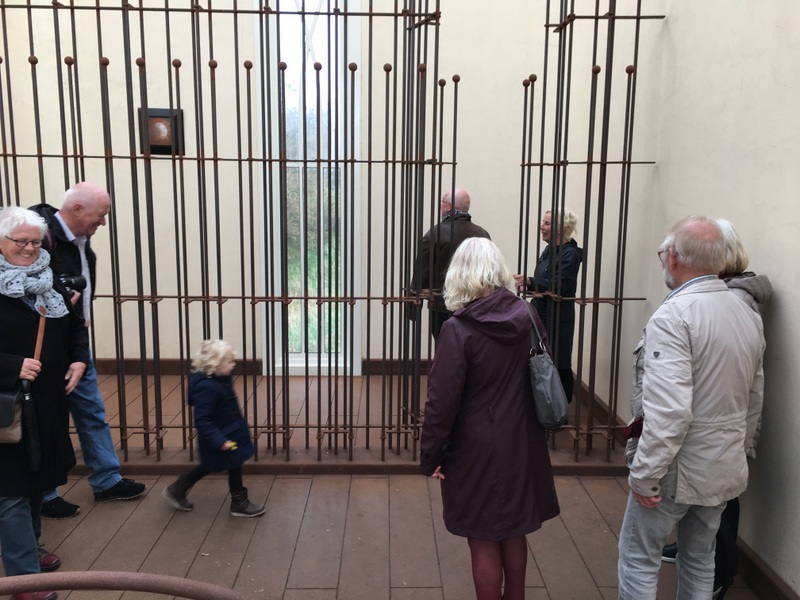
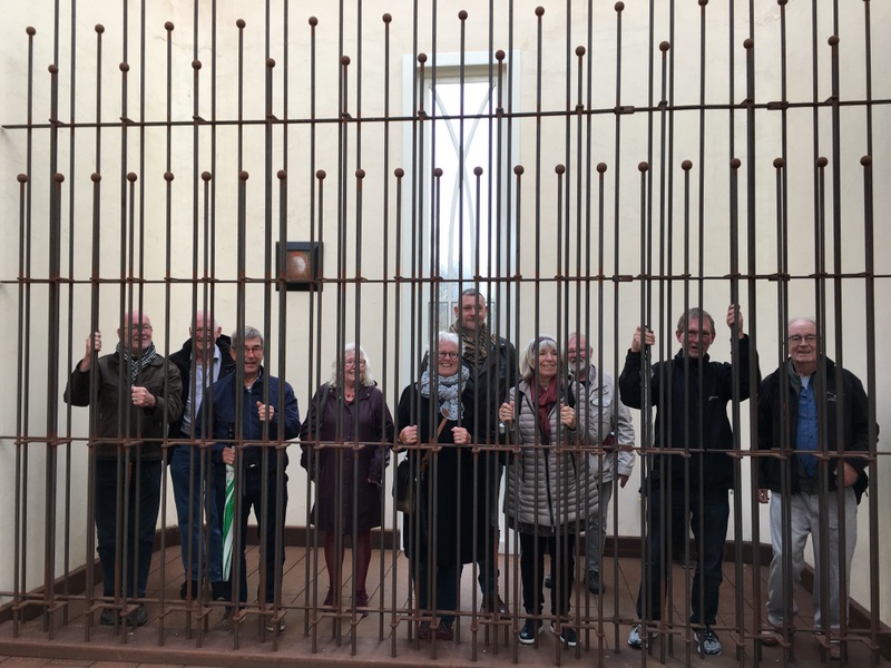
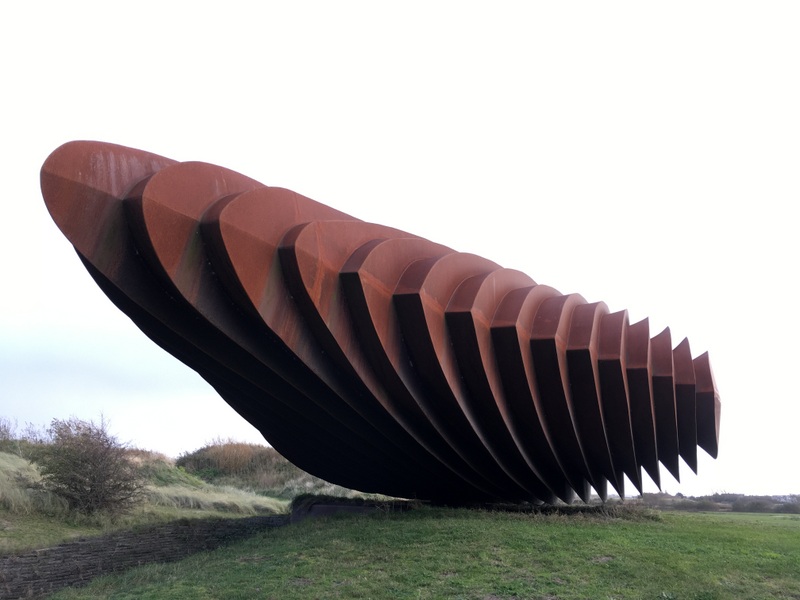
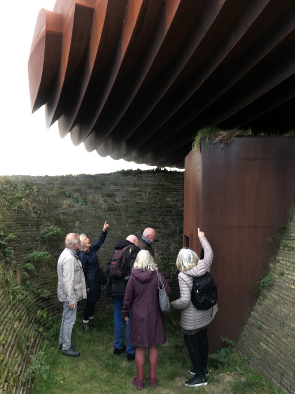
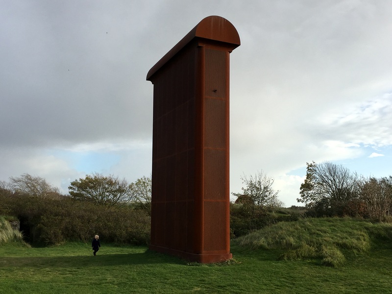
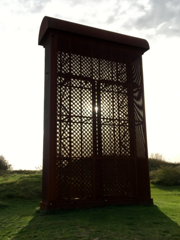
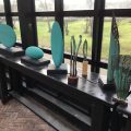
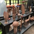
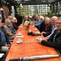
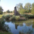
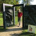
It was a Sunday and with the sunny weather there were many visitors. There is also a sculpture garden
Monday 16 October
The third day I walked on my own in the region of Alphen, my birthplace. A polder walk of about 10 km. Green in the map below. Also indicated (in red) is one of the numerous Dutch polders . A polder is is a low-lying tract of land enclosed by dikes. This polder was created around 1785. Because they are low-lying, the rainwater must be pumped out by windmills into a river, in this case the river RIjn.
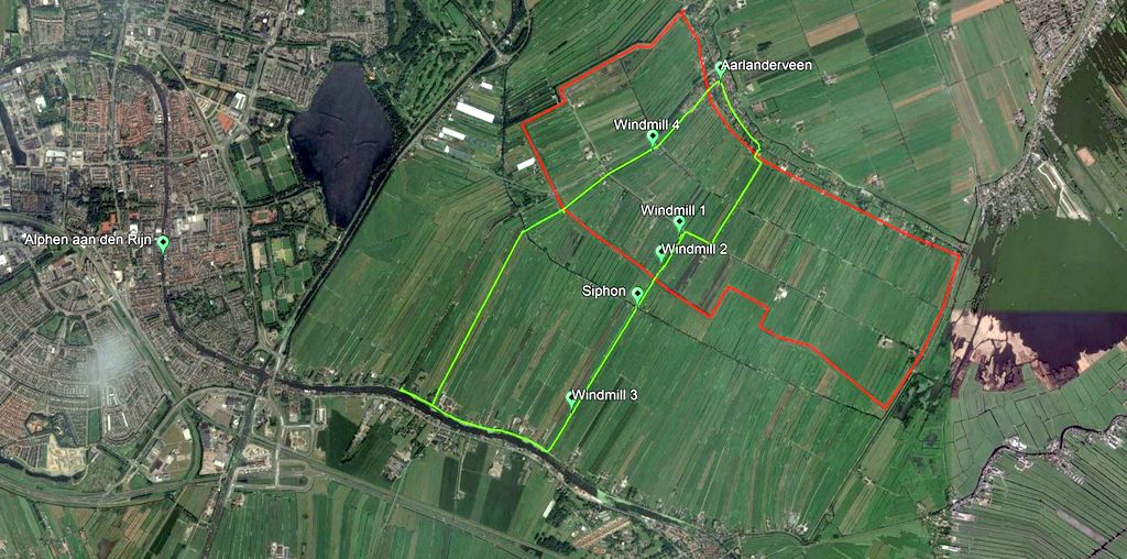
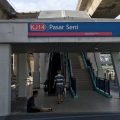
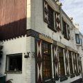
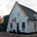
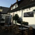
I took a bus to Aarlanderveen, where I started my walk. Nowadays Aarlanderveen has no shops and only one cafe. The cafe was officially closed, but the friendly owner was willing to serve coffee with apple pie. A good start of the day.

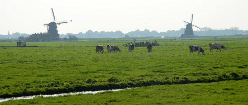
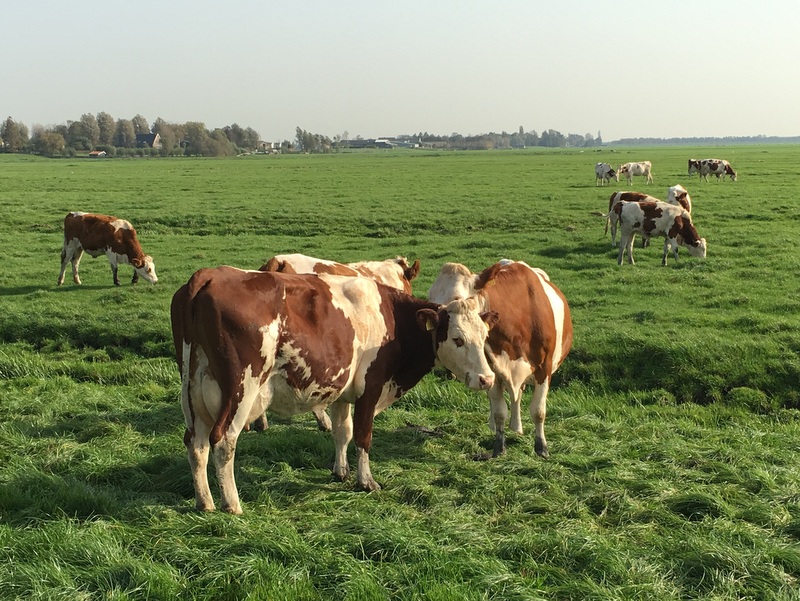
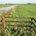
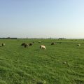
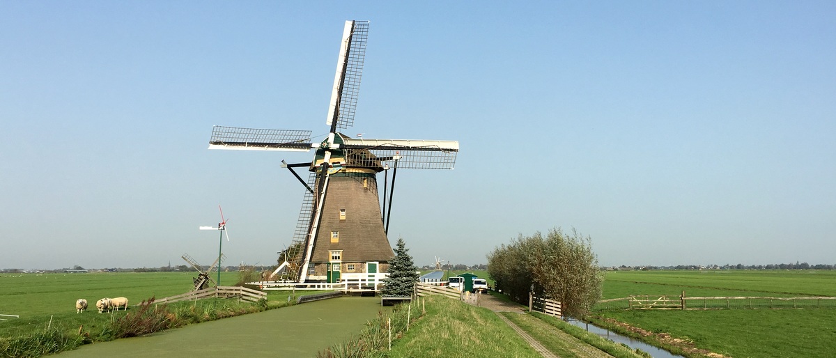
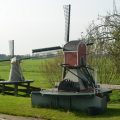
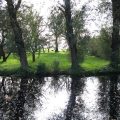
The landscape can not be more Dutch…:-) Meadows, cattle, windmills.
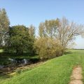
You walk on narrow trails through the meadows, sometimes crossing fences
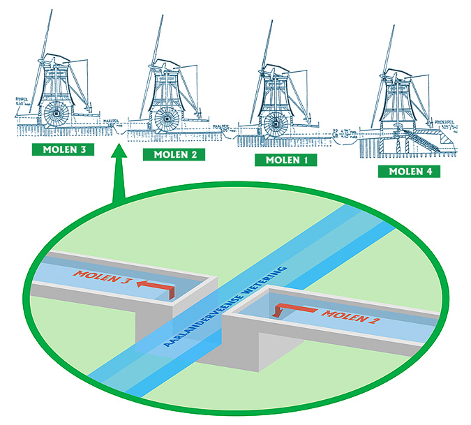
The polder marked in red needs 4 windmills, because in its deepest point it lies about 5 meter below sea level and one windmill can “lift” the water only about 1.5 meter. So they have to work together, like in the sketch below. The Dutch word for it is a Molen-viergang and it is the only viergang in the world that is still operating.
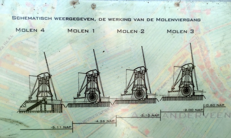
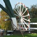
Mill no 4 uses an Archimedes’ screw, the other three have scoop wheels.
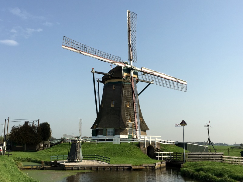
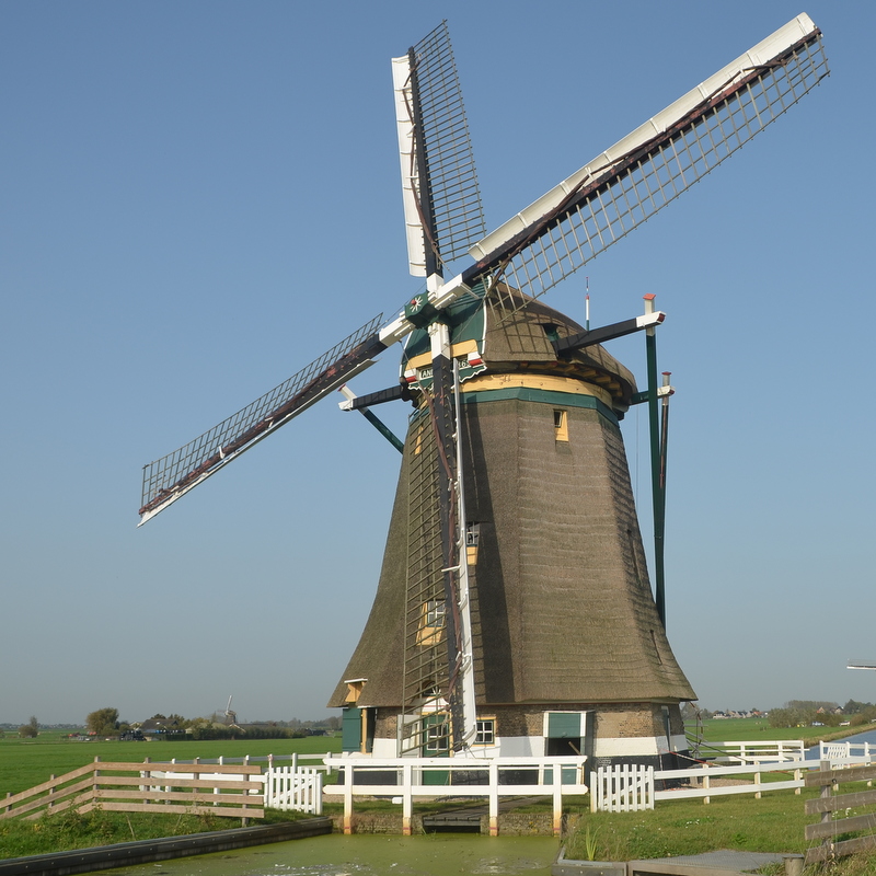
Here is windmill no 4, the Putmolen, built in 1801. later than the other three, because one more mill was needed to drain the lowest part of the polder. That explains the odd numbering..:-)
 .
.
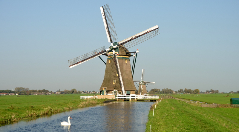
Here is Mill no 1, when you click on the image to enlarge it, you can see no 2 and 3 in the background. This windmill discharges the water in the Rijn river.
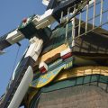
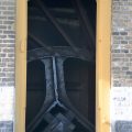
Some details of this windmill. The right picture shows part of the scoop wheel.
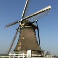
Windmill 2 and 3

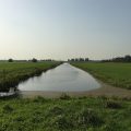
On the GE map you see that there is an (older) polder between the “red one”and the Rijn river. The easiest way to remove the water from the new polder would be to discharge it in this old polder, which had its own windmills.But understandably the owners of the old polder refused this, so for the new polder a separate drainage channel had to be created to the Rijn. Such a drainage channel is called a “wetering” in Dutch.
The problem is that the wetering of the new polder has to cross the wetering of the old polder. The left picture shows the location where this happens. The yellow line marks the wetering of the old polder, the red line is the wetering of the “red” polder. It passes UNDER the old wetering via a siphon (a duiker in Dutch). The right image shows how it works. This siphon was built in 1786. Amazing. I have marked the location of this siphon on the GE map

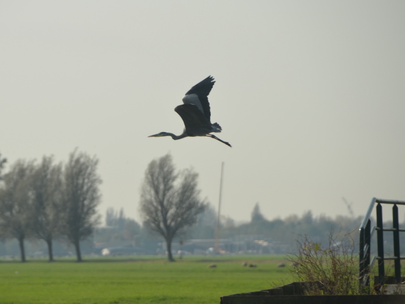
Not many birds in this time of the year. I noticed a heron and a cormorant. And of course many swans..:-)

A few more pictures.
-
- Millers often build miniature mills, just for fun
-
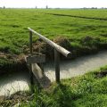
- Crossing a drain. Cattle can not pass.
-
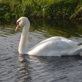
- A swan
-
- Back in Aarlanderveen
It was a very interesting hike. A very informative website about the Molen-viergang (in Dutch can be found here.