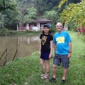
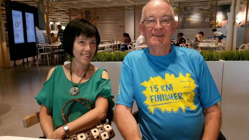
Regular readers of my blog may remember that during my visit to Taiping in April 2017, I met a gentleman from Singapore, Dr Lee. We are both interested in (Taiping) heritage and kept contact by email. He suggested that we should visit Singapore, not only for its cultural heritage, but also for its nature, he could show us some interesting places.
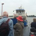
So we booked a hotel in Singapore’s Chinatown for three nights and took the Aeroline bus to travel. Quite convenient
-

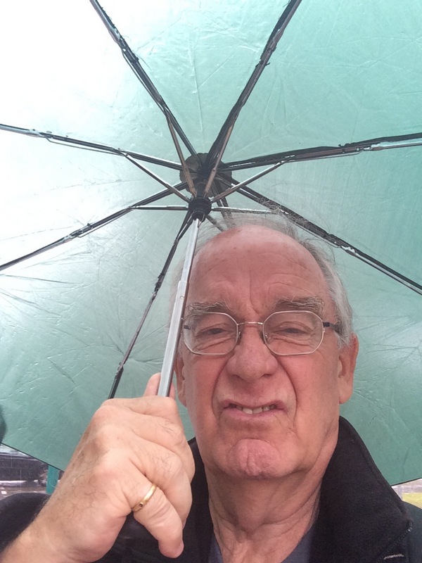
- The Aeroline bus
-

- Front row
-

- It’s a long drive…:-)
-
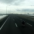
- Crossing the Second Link
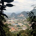
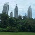
On my to-do list were a few of the recent modern buildings and one of them we passed already in the bus…:-). The Interlace (2013) , a 1000-unit apartment complex, which looks like numerous bricks irregularly stacked upon each other

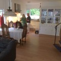
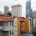
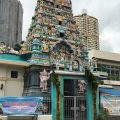
From the bus terminal we took the MRT to Chinatown. The Keong Saik hotel was a good choice, the room was not big, but comfortable, and we had a view of another building on my architecture list, the Tanjong Pagar Centre (2016), the tallest skyscraper in Singapore. Although designed by world famous Skidmore, Owings & Merrill, it did not look very special from our balcony. The Sri Layan Sithi Vinayagar temple nextdoor was more interesting, but we had no time to visit it.
-
- Chinatown
-

- Our hotel room
-
- View from our balcony
-
- An Indian temple nextdoor
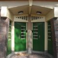
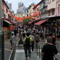
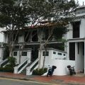
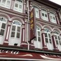
After a short rest, we met Dr Lee and walked with him through Chinatown.
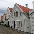
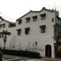
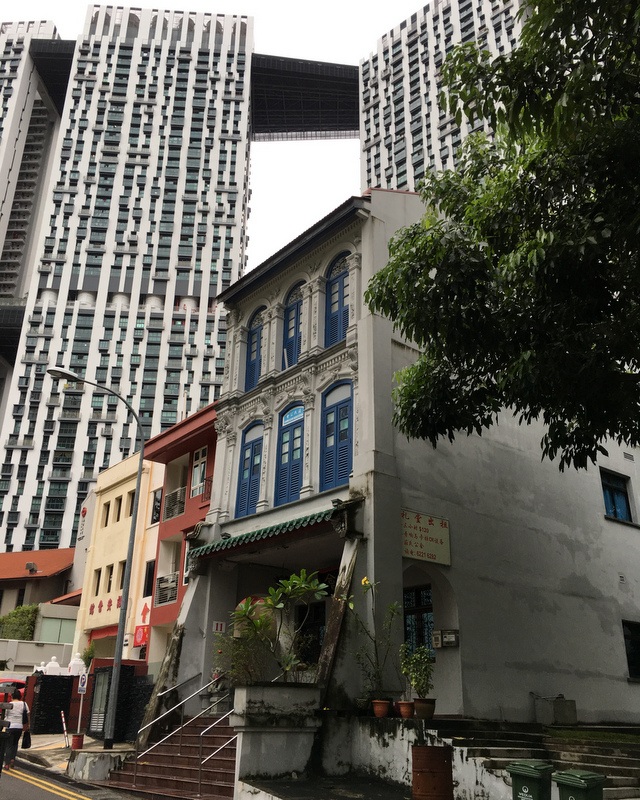
Nicely restored houses and shoplots, many consisting of three storeys, unusual in Malaysia. Also here mural art. There are several works by Zacharevic, but we had no time to look for them. Next time…:-)
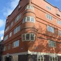
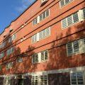
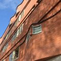
During our walk passed another modern building on my to-do list, the Pinnacles@Duxton (2009), a residential complex of 50 storeys high, dominating the three storeys shoplots of Chinatown. Initiative for this development came from Prime MInister Lee Kuan Yew, who was concerned about the exodus of residents from Singapore’s center.

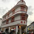
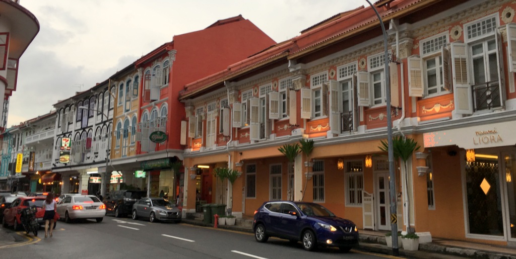
We walked back via Keong Saik Road, beautifully restored houses. In the 1960’s this was the red-light district of Singapore! Dr Lee told us that in those days you could not pass the street without being addressed by the ladies of the night..:-)
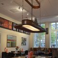
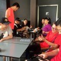
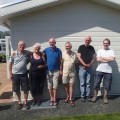
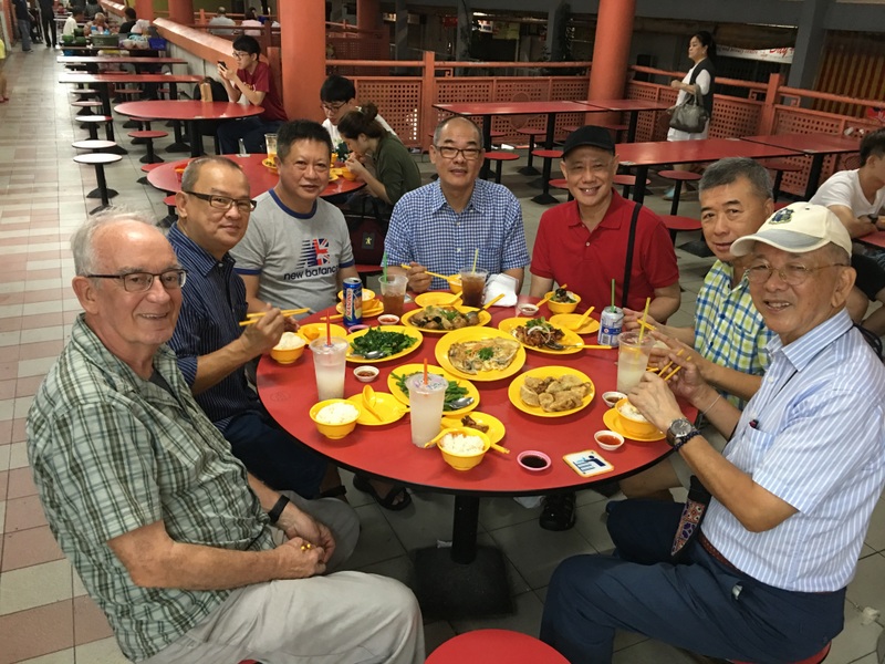
For our dinner we went to the foodcourt in the Chinatown Complex , where we met a few of Dr Lee’s friends. Nice food, nice company.
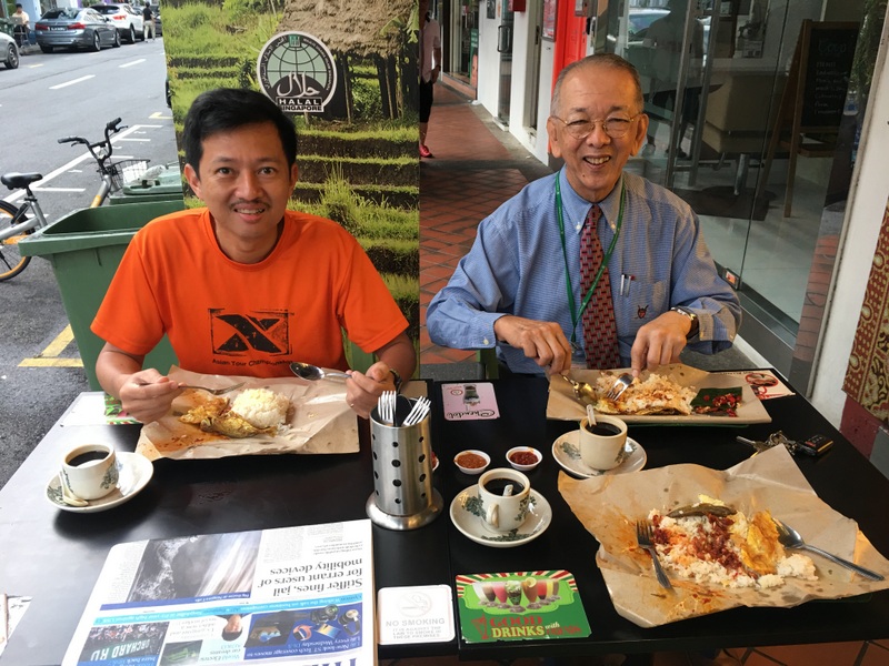
The next morning Dr Lee picked us up from our hotel and brought us to the “best nasi lemak shop in town” for breakfast. He was formally dressed this time because he had to work in the hospital that day.
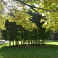
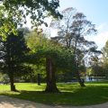
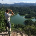
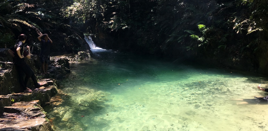
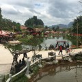
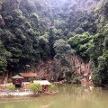
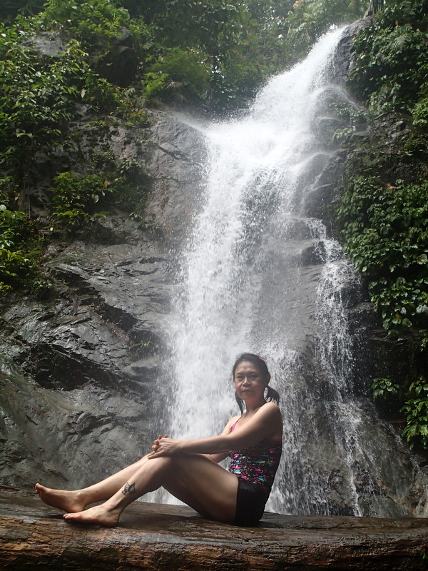
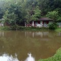
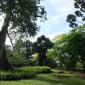
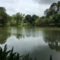
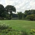
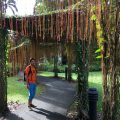
But first he dropped us at the Botanical Gardens, where we spent the next few hours. The gardens are 158 year old and, since 2015, an Unesco World Heritage Site.
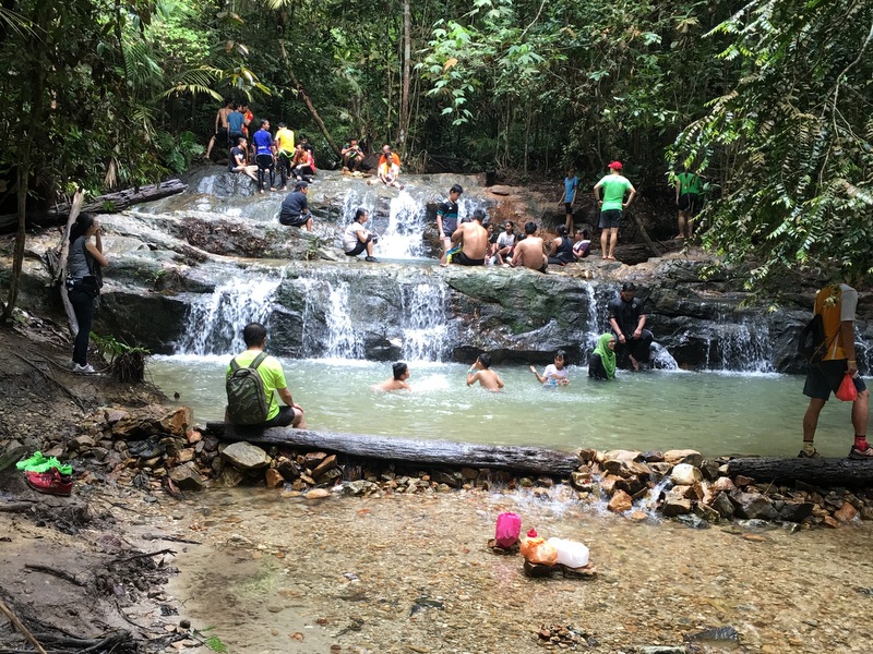
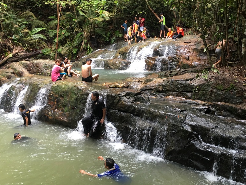
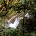
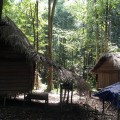
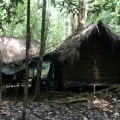
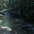
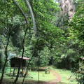
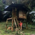
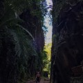
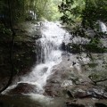
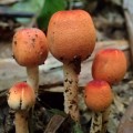
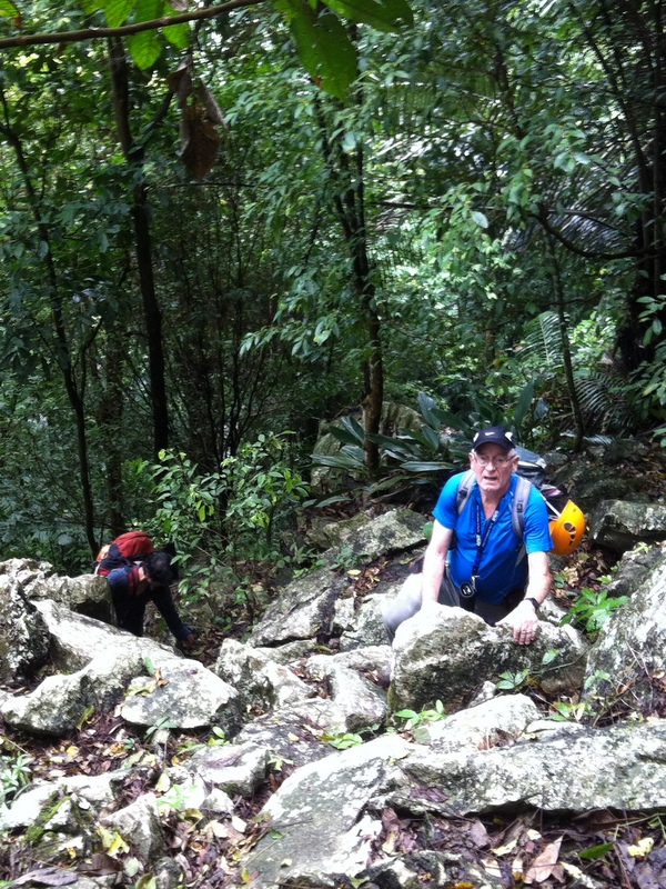
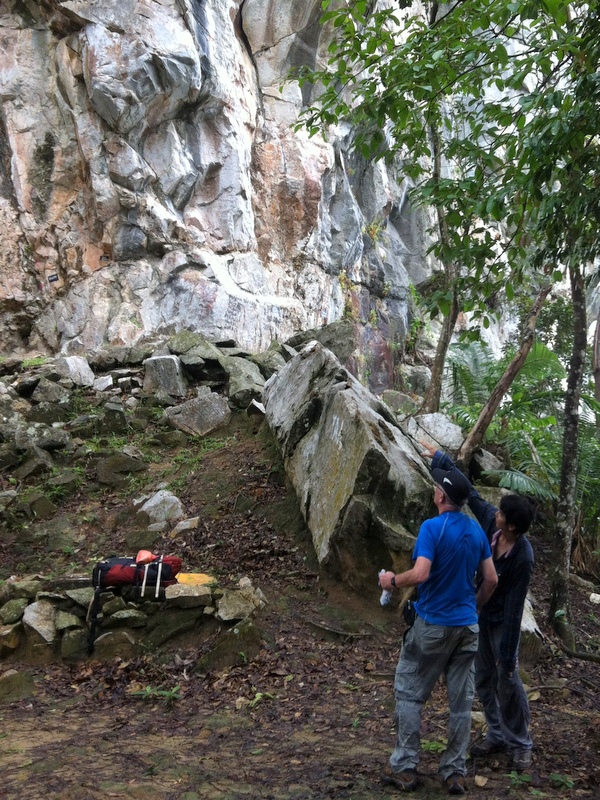
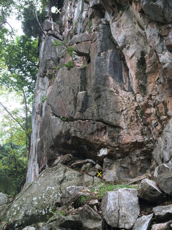
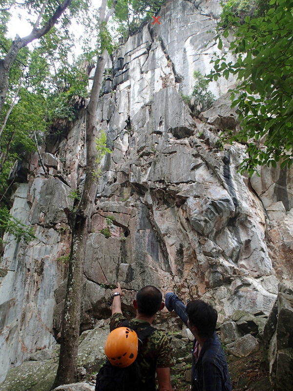
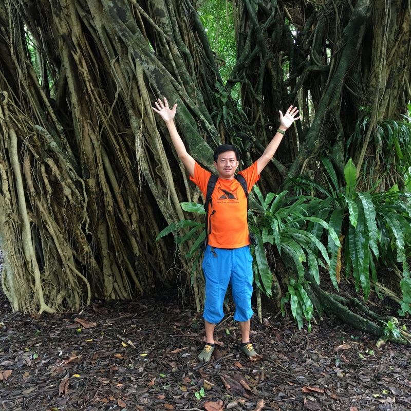
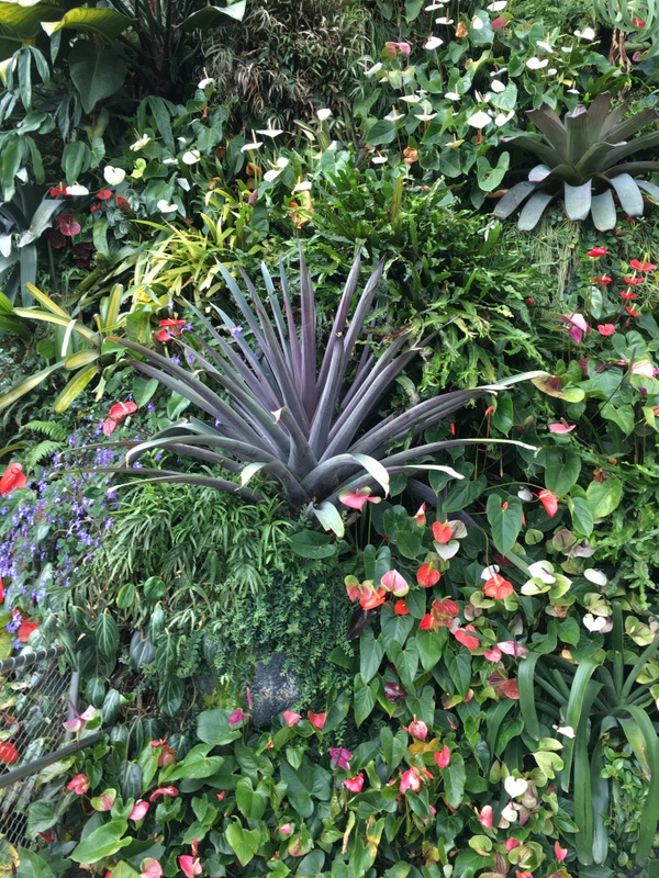
We started with the Rainforest, a small part of the gardens, actually older than the gardens themselves! Of course Malaysia has more rainforest, but Singapore is one of the few cities with a rainforest within its borders.
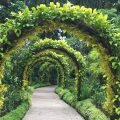
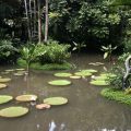
We walked around, beautiful views everywhere

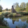
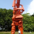
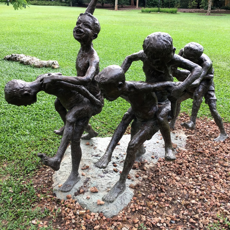
On many places you can find sculptures, Here are two of them, Change Kuda (2011) by Chong Fah Cheong and Girl on a Bicycle (1987) by Sydney Harpley.
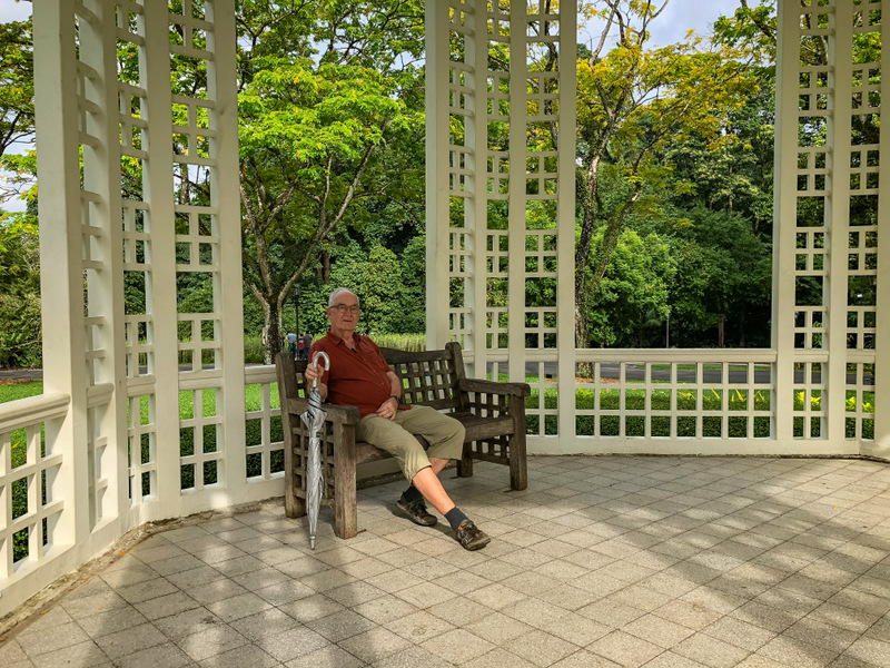
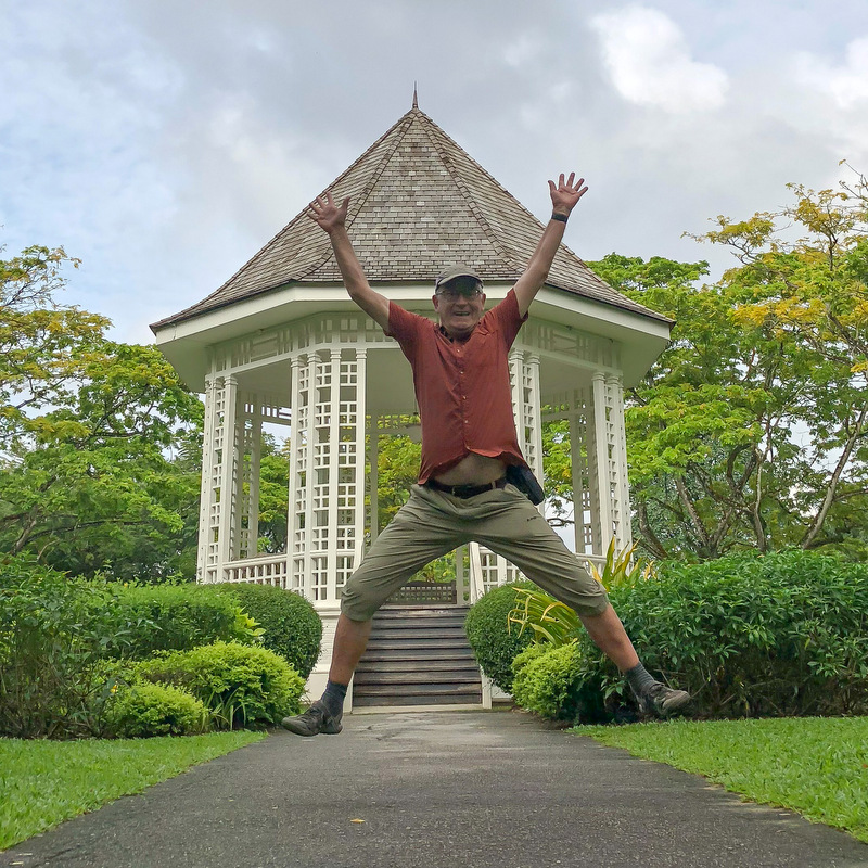
A few more pictures. To the right the Bandstand (1930), no longer used for musical performances, but still an iconic landmark of the gardens.
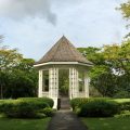
The bandstand was a good spot to take some rest
After our rest we had again enough energy to continue…:-)
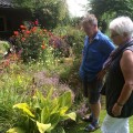
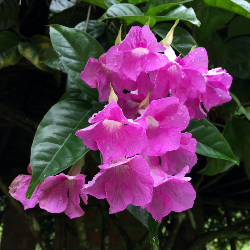
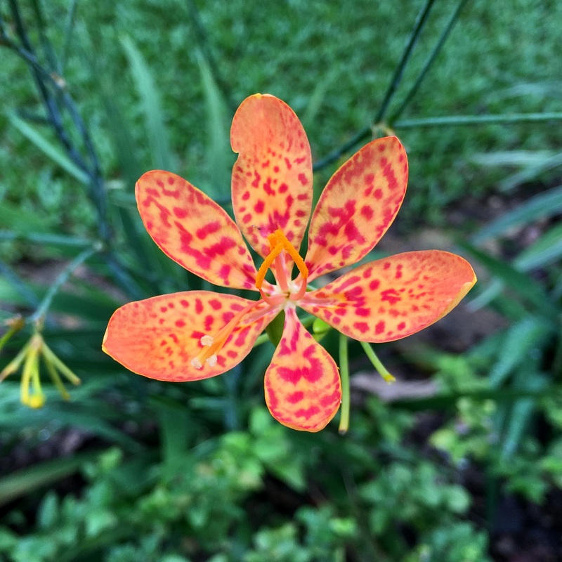
Nice flowers.
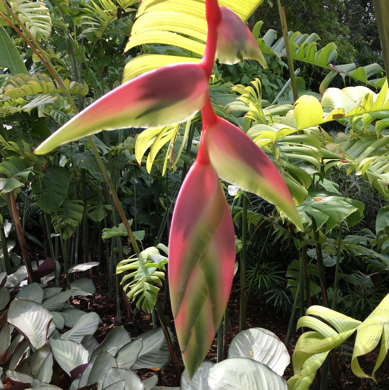
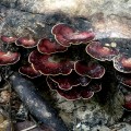
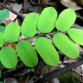
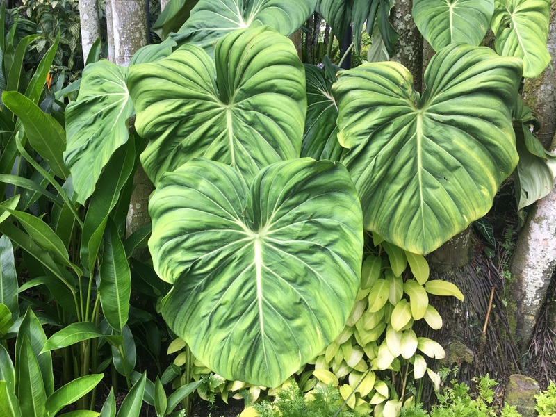
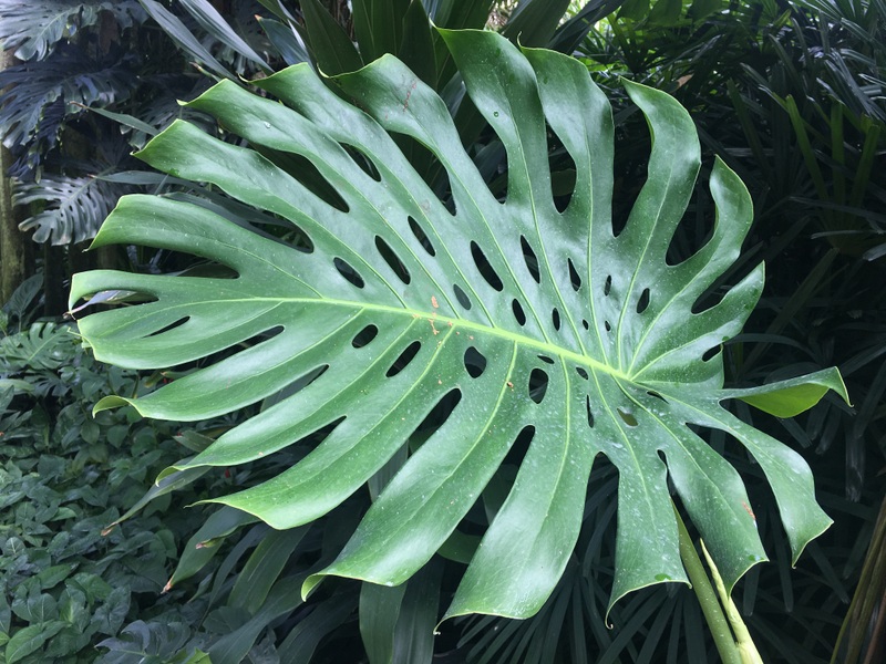
Interesting leaves.
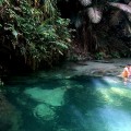
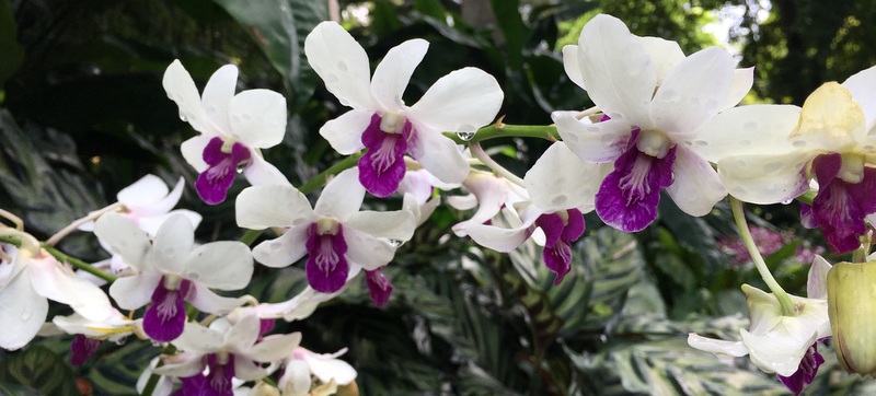
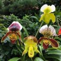
The gardens are free and open all day but for the famous National Orchid Garden you have to pay an entrance fee. After some hesitation we bought tickets and entered. Very worthwhile. Never in my life seen so many orchid species!
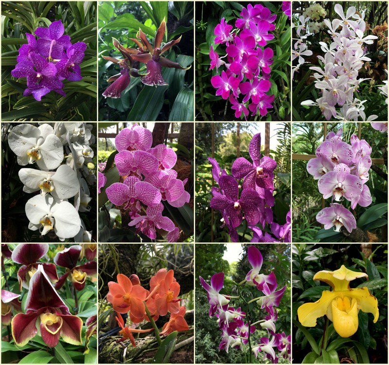
Here is a collage of orchids we have seen.
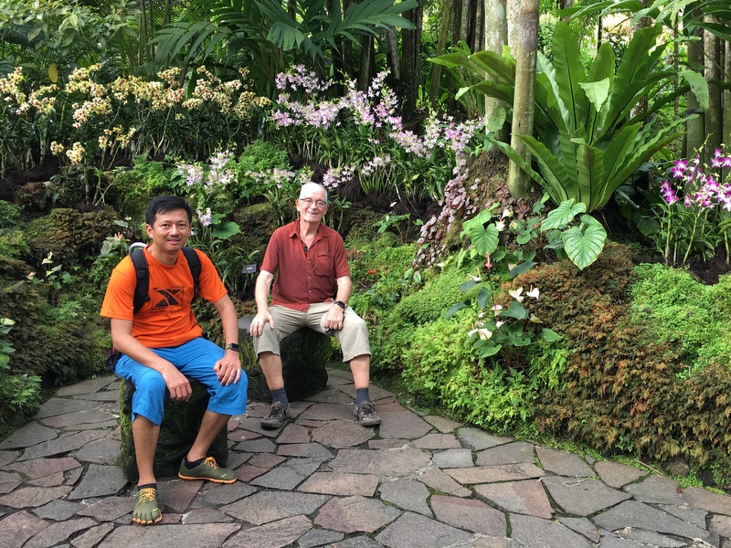
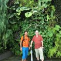
First we wanted to take a “wefi”, then a friendly visitor offered to take the picture. Even better..:-)
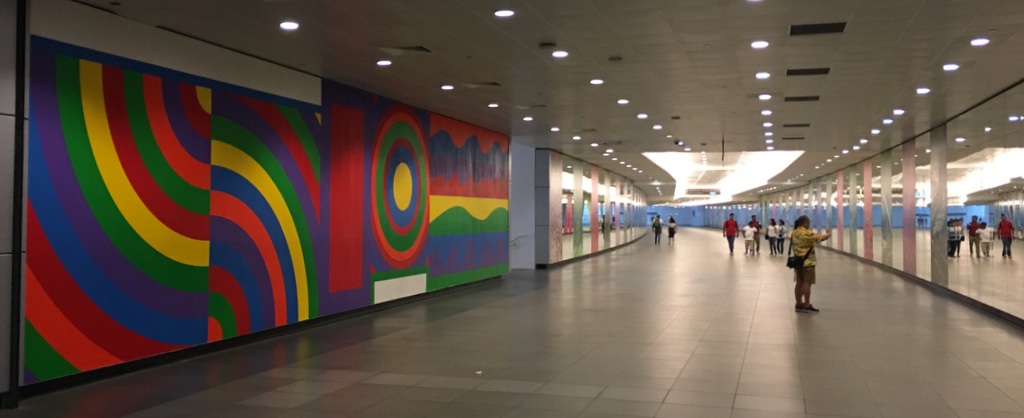
It would have been no problem to spend the whole day in these gardens, but we had decided to spend the afternoon in another beautiful garden, the Gardens by the Bay, created in 2006 on reclaimed land. The public transport in Singapore is well-organised, we took the MRT to the Bayfront station and walked via an underground corridor to the gardens.
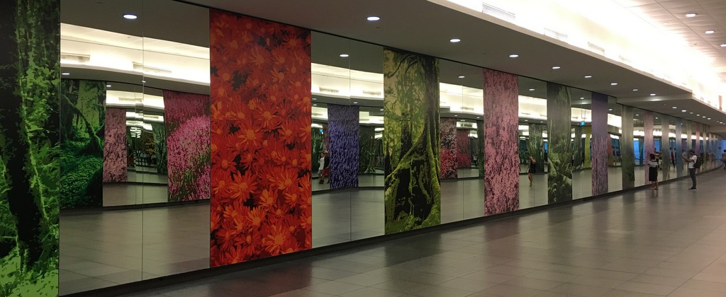
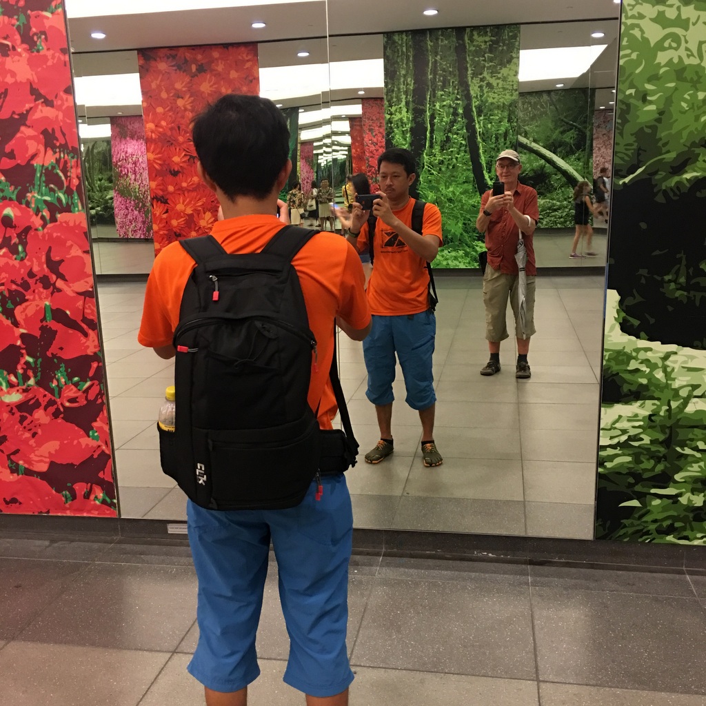
This passage has a few remarkable works of art. Left in the upper picture is a painting by Sol Lewitt, Wall Drawing#915, Arcs, Circle and Irregular bands (1999). Further on both walls are covered with mirrors, which gives multiple reflections. Could not find the name of the artist
Perfect location to take a wefi..:-) Can you find out who of us has taken this picture?
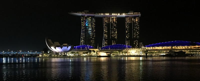
When you exit from the underground passage and look backwards, you see the iconic Marina Bay Sands Hotel towering above you. One of the most impressive buildings I have seen in my life. I have stayed once there, expensive but it was worth the money..:-).
Entering the gardens you pass three smaller gardens, Malay, Chinese and Indian, Singapore is proud to be a multi-racial country. Far away the surrealistic Supertree Grove, but first we had a simple lunch at a snack bar.
-

- Marina Bay Sands hotel
-

- The Supertree Grove
-
- Chinese garden
-
- Take away lunch
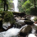
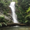
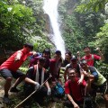
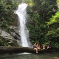
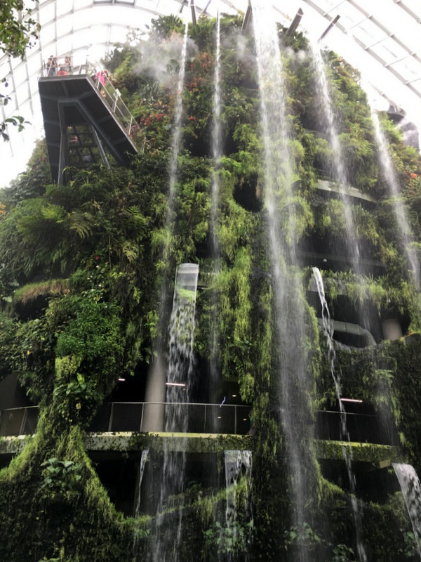
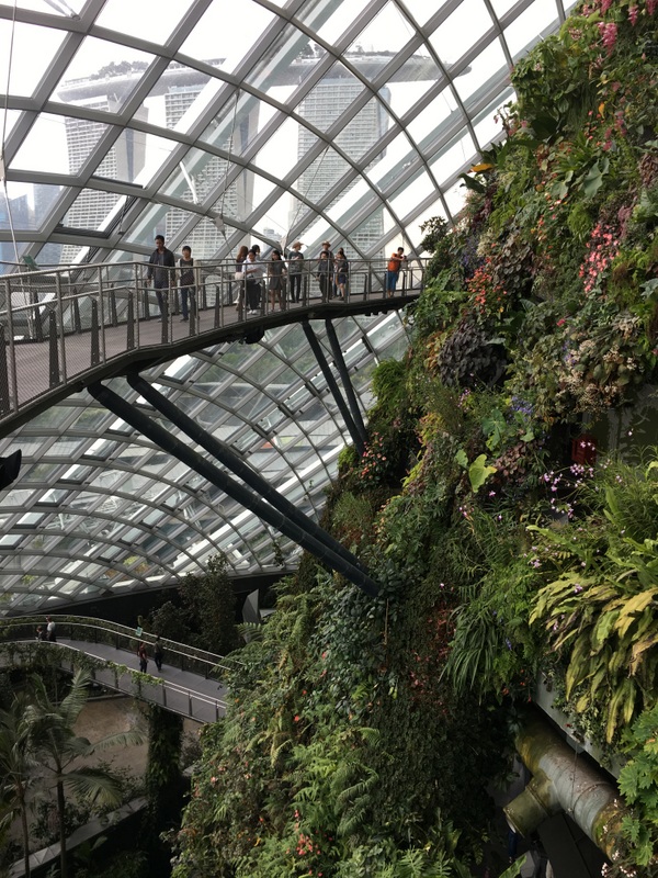
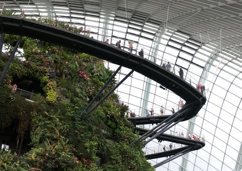
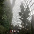
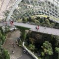
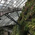
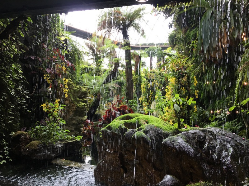
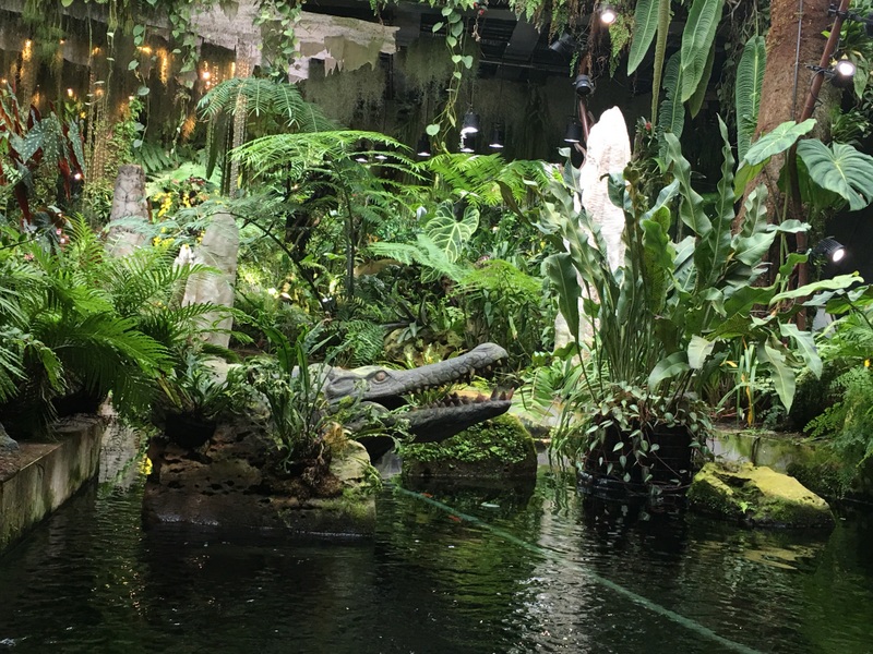
Also in these gardens you can spend easily a full day. We had only limited time and decided to visit one of the two domes in the Gardens, the Cloud Forest dome. Expensive but 100% worth it.
Inside the dome a “misty mountain” has been created, with a waterfall, and pathways leading up and round the structure. Amazing and fascinating, just look at the pictures.
Of course flowers, mosses, ferns everywhere. These are fuchsia flowers, a favourite of mine.
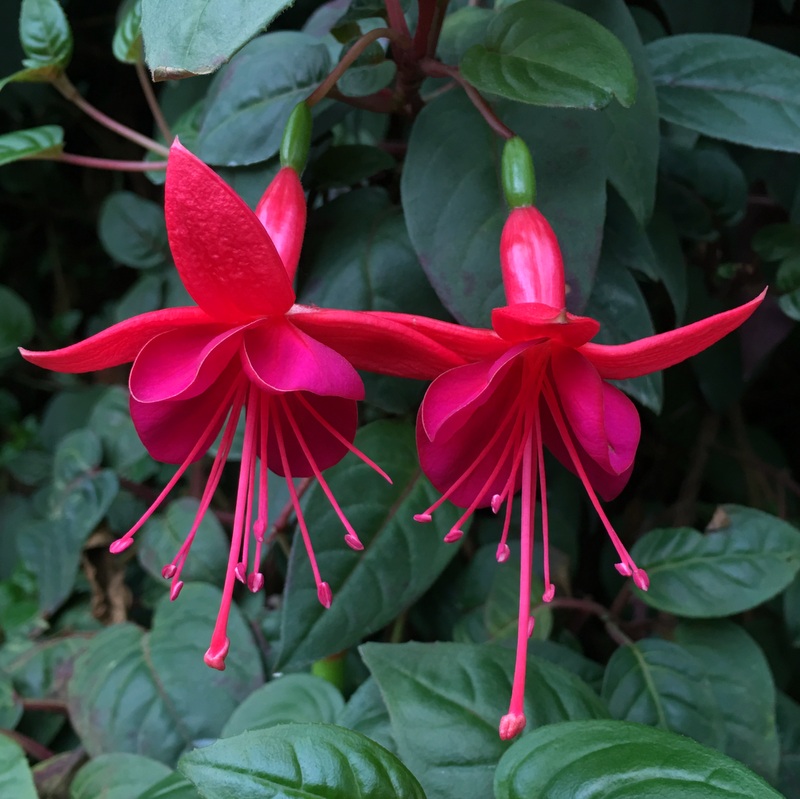
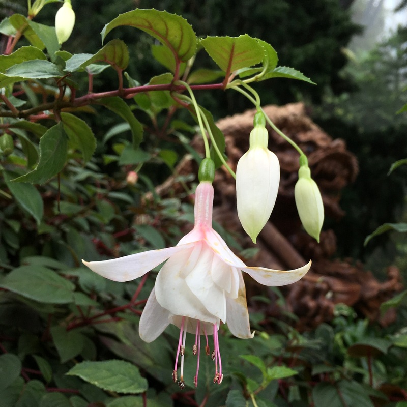
Look carefully, two pictures show real flowers, the other two are fake!


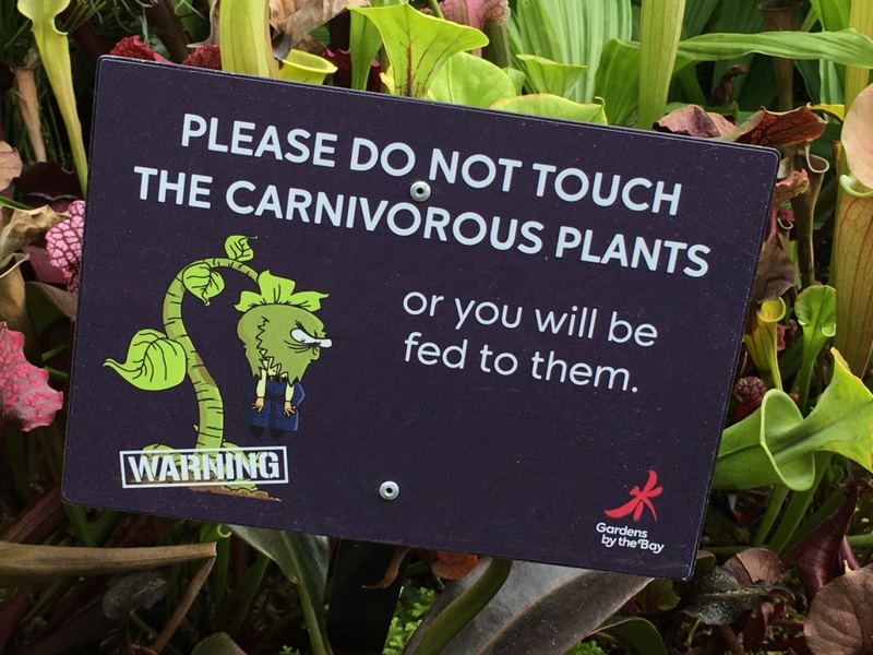
In between the Lego “artworks”, there are real pitcher plants and other carnivorous plants.
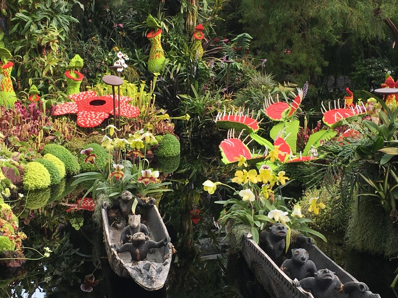
A lot of maintenance is needed, but the result makes it worthwhile.

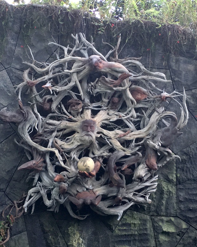
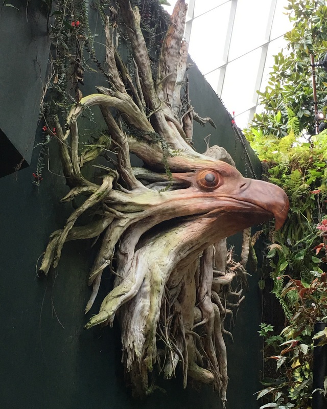
Interesting artworks, made of tree roots.
There is a Secret Garden too
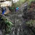
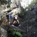
When we bought tickets for the Cloud Forest, we thought about combining them with tickets for the “canopy walk” at the Supertree Grove, but the friendly lady at the ticket counter advised us to wait, because there might be rain in the afternoon and then the walk is closed. Good advice, there was a downpour while we were inside the dome, when we came out we noticed that the canopy walk around the trees was empty.

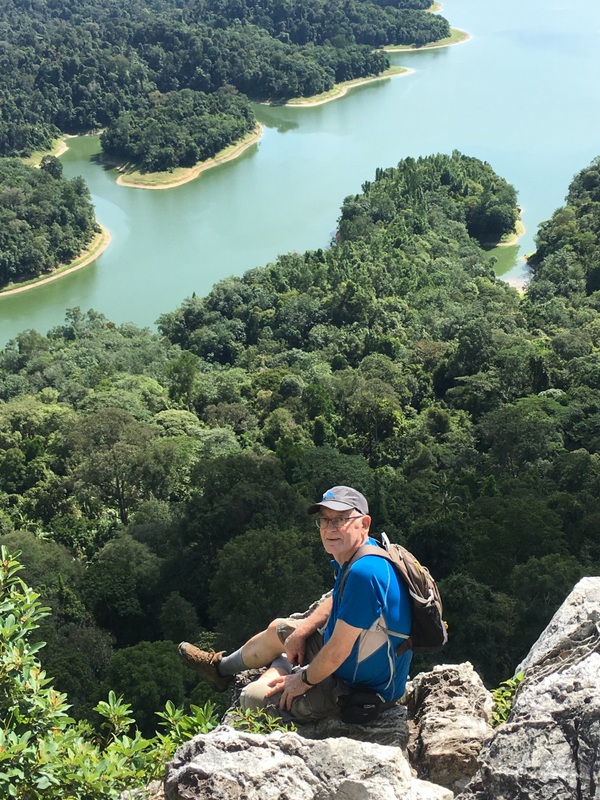
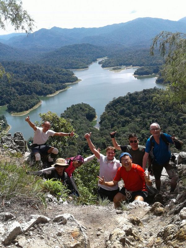
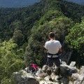
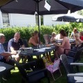
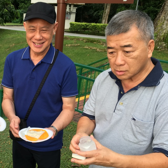
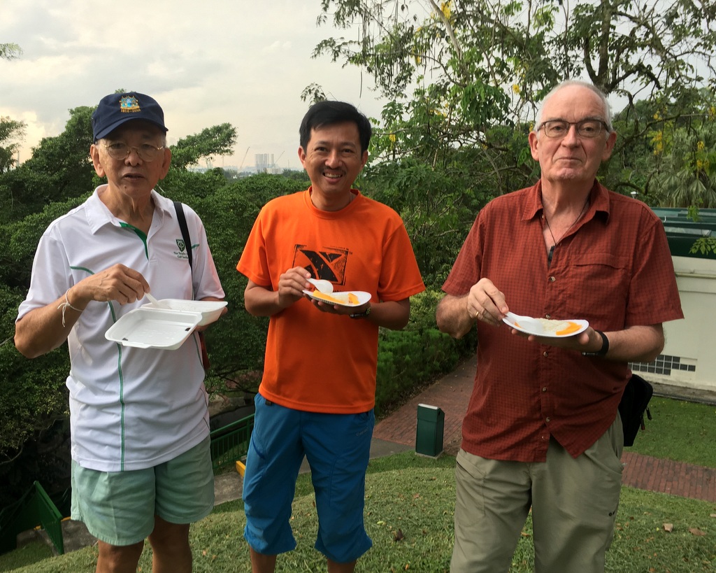
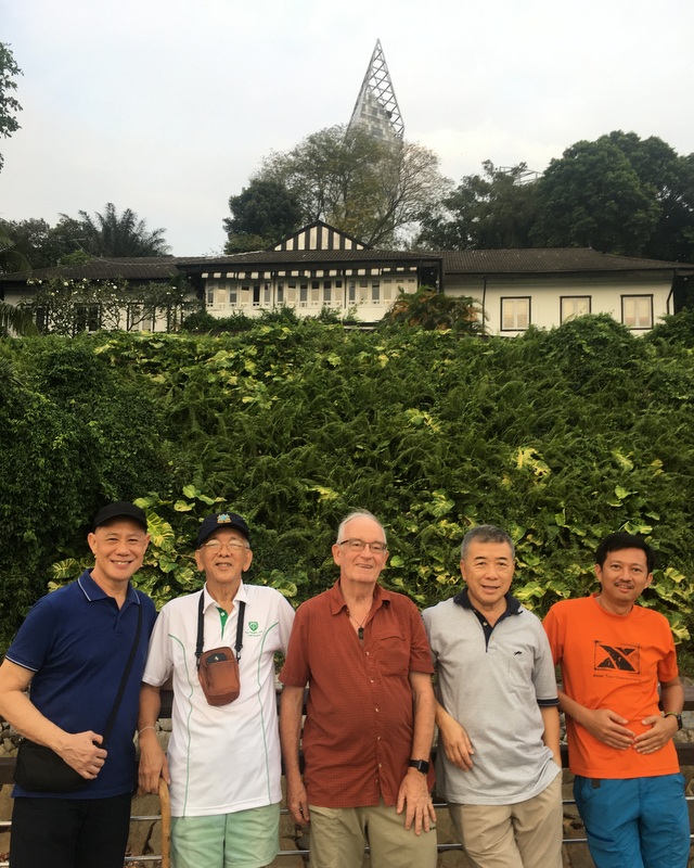
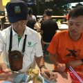
We went back to our hotel and had some rest. Later Dr Lee picked us up and with two of his friends we went to the Kent Ridge Park, to have a view of the harbour. Nice surprise, his friends had brought pulut & mango for us. Delicious
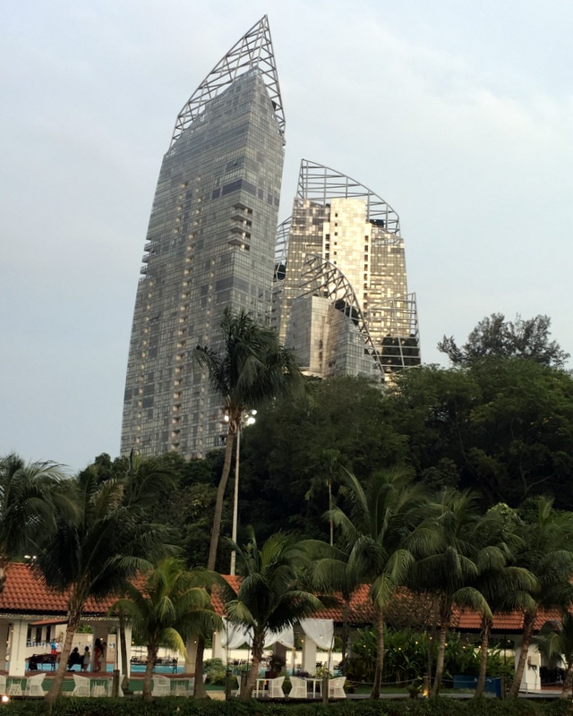
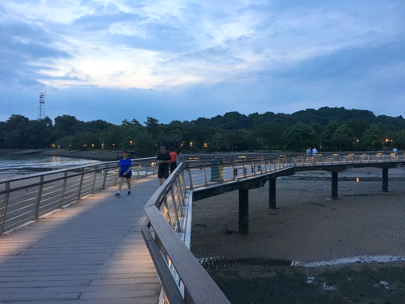
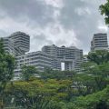
Next we went to Labrador Park, where we walked a part of the boardwalk. Nice view of another building on my list: Reflections at Keppel Bay (2011), a luxury residential complex designed by Libeskind, another famous architect. Singapore knows how to choose…:-)
Here is the boardwalk

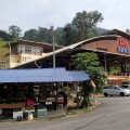
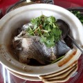
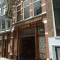
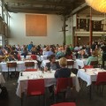
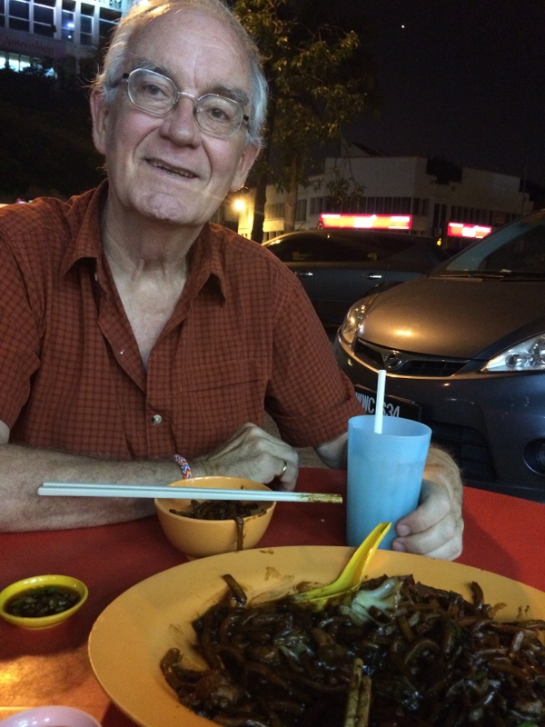
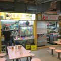
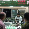
TIme for dinner. We went to the Alexandra Village Food Centre, where we had a tasty soup and claypot chicken rice from the well known Tai Liok restaurant . It really is an advantage to go out with Singaporeans, they know where to find the good food!
-
- Tai Liok shop
-
- Tasty soup
-

- Dutch beer!
-

- Claypot Chicken Rice
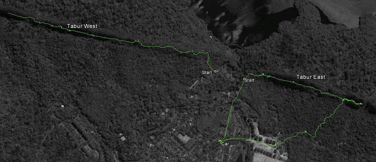
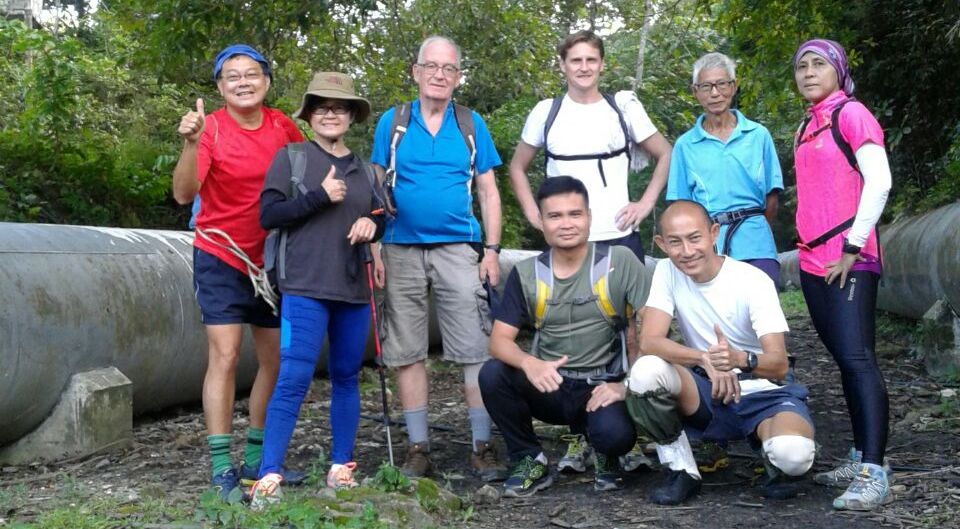
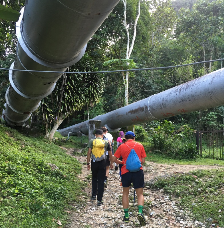
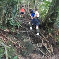
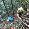
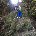
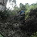
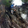
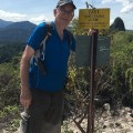
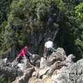
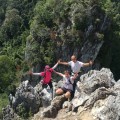
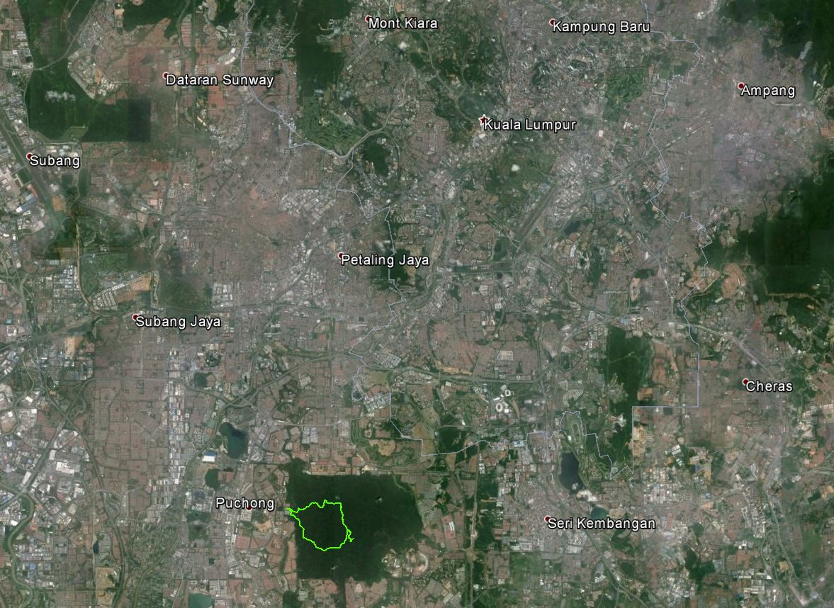
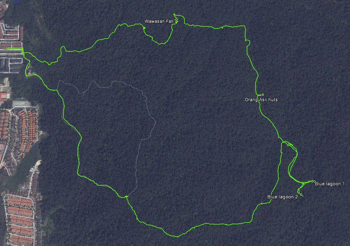
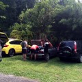
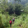
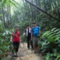
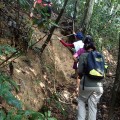
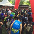
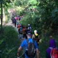
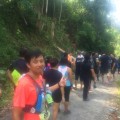
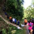
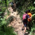
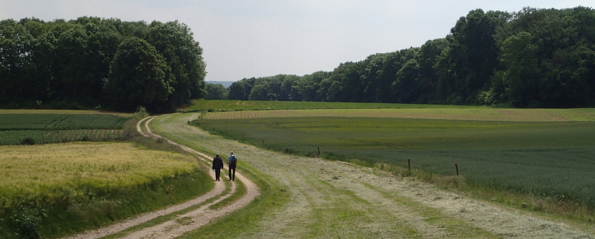
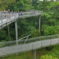
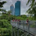
The next day, after breakfast in our hotel, we took a bus to the Southern Ridges for a long hike, from the Alexandra Arch bridge to the Henderson Wave. Surprising that Singapore has so many hiking and walking opportunities. On the map you can see also the location of the Labrador Park.
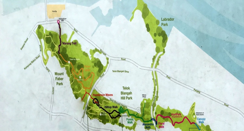
The bus passed two buildings I had seen before already, the Reflections and the Interlace
-
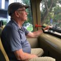
- In the bus
-
- Reflections
-
- Interlace
-
- Alexandra Arch Bridge
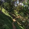
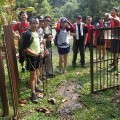
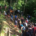
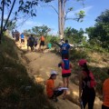
It was an interesting walkway. We met many student groups on a Learning Journey, as it is called.
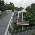
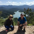
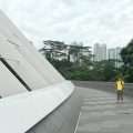
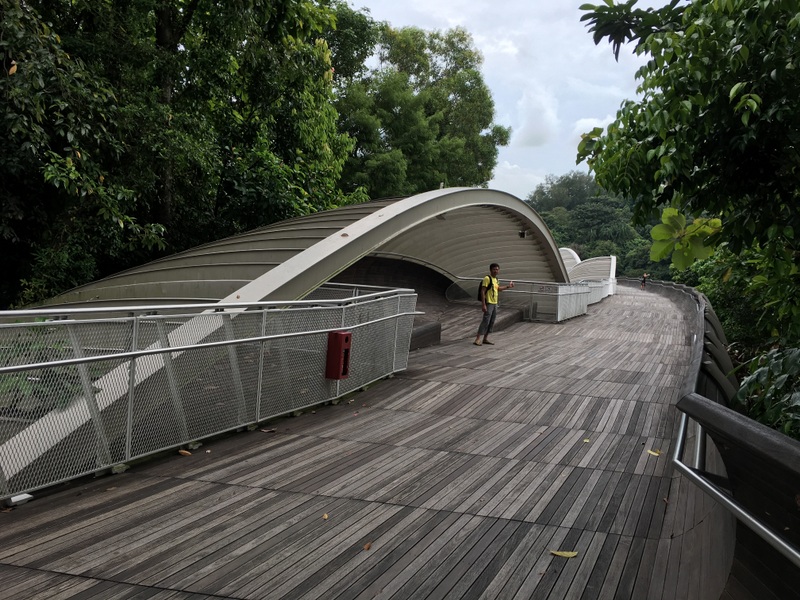
We continued until the Henderson Wave, a pedestrian bridge with a unusual artistic design
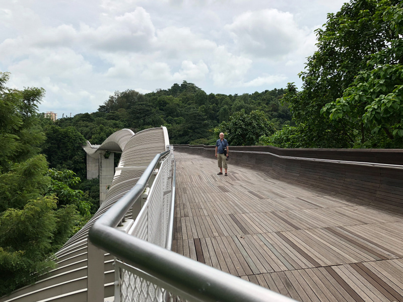
From this bridge we had a nice view of the Singapore skyline. Dark clouds again, it was quite rainy during our visit

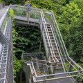
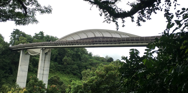
The Henderson Wave, as seen from below.
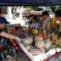
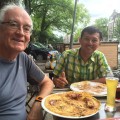
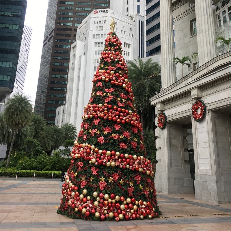
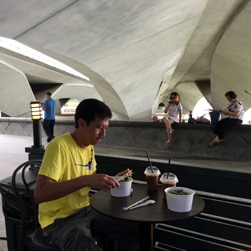
After this walk we took a bus to the city center, as we had planned to visit the National Gallery in the afternoon. There were still remnants of the Christmas celebration. Again we had a very simple lunch
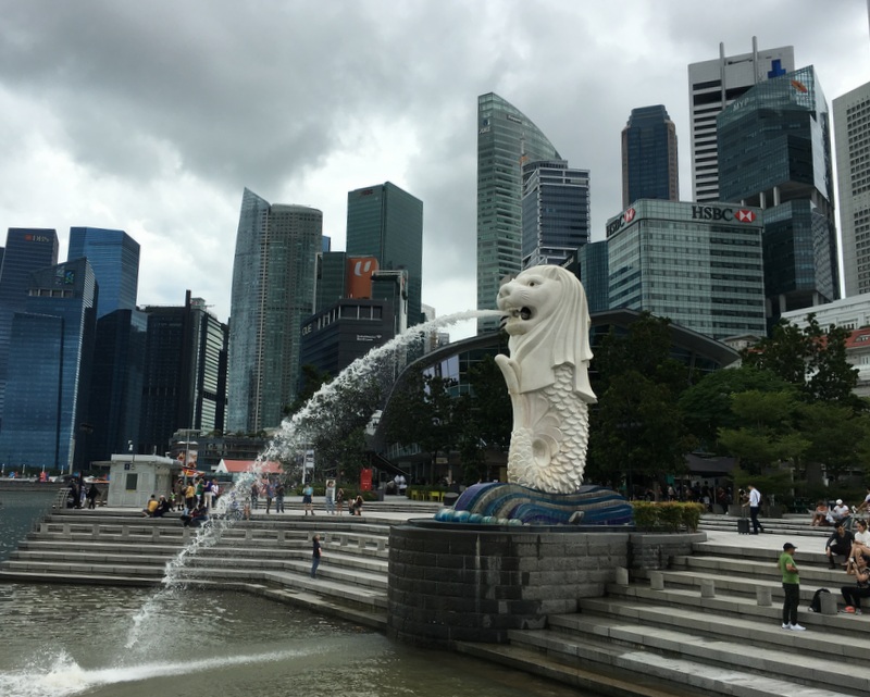
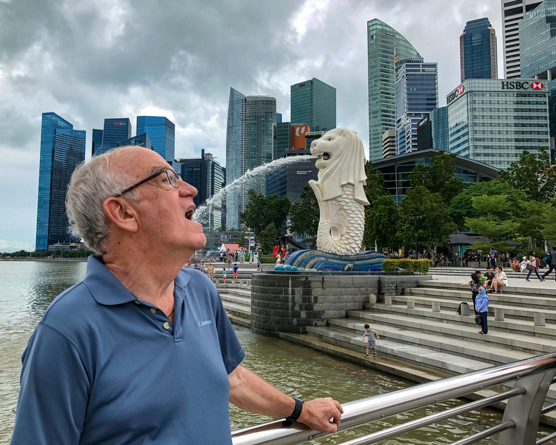
We walked around and had a look at Singapore’s landmark, the Merlion.
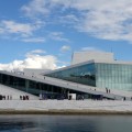
View of the Theatres on the Bay, colloquially known as the big durians. Memories came back of a “concert” by MozART Madness, attended many years ago…:-)
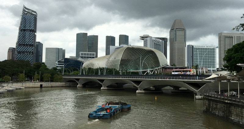
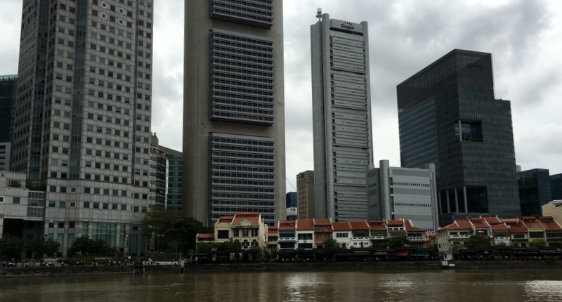
Boat Quay, dwarfed by the skyscrapers
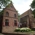
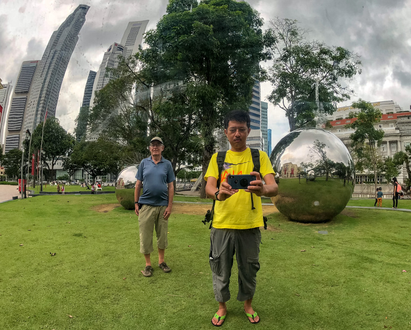
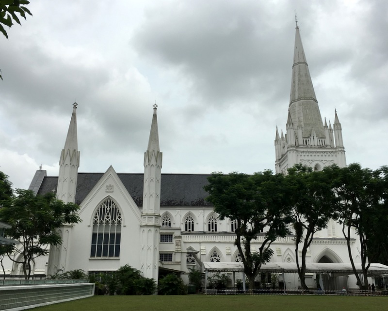
We walked around in what is called the Civic District. Here many of the heritage buildings are located. Left another “wefi”, right the St Andrews Cathedral (1861)
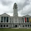
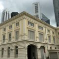
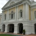
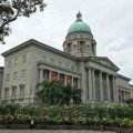
The Victoria Hall began as Town Hall in 1862, the Asian Civilisations Museum is housed in what originally were the Government Offices (1864). The Old Parliament House, possibly the oldest surviving building of Singapore was built in 1827 as a mansion for a Scottish merchant. The National Gallery occupies two more recent buildings, the Former Supreme Court and the City Hall, both built in the first half of the 20th century
-
- Victoria Hall
-
- Asian Civilisations Museum
-
- Old Parliament
-
- National Gallery
We decided to keep the National Gallery for the next day, and walked a bit more along the padang in the direction of two conspicuous buildings. The left tower is part of the Raffles CIty (1986) designed by architect I.M. Pei who has been responsible for many of Singapore’s skyscrapers. The right building was new for me, and it was only after I came back home that I found out that it is the South Beach development.


Looking back from the padang, the skyline of Singapore, the National Gallery, the Victoria hall with in front of it the Singapore Cricket Club.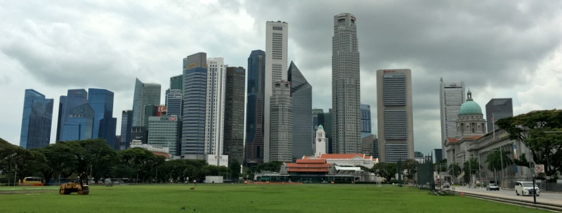
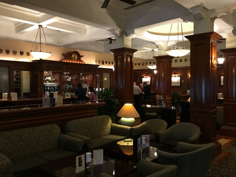
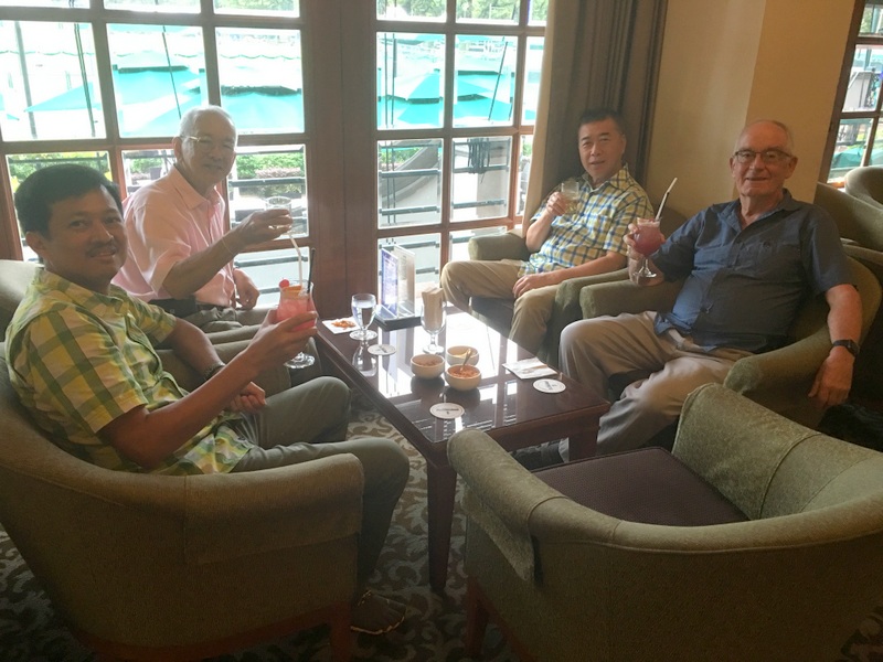
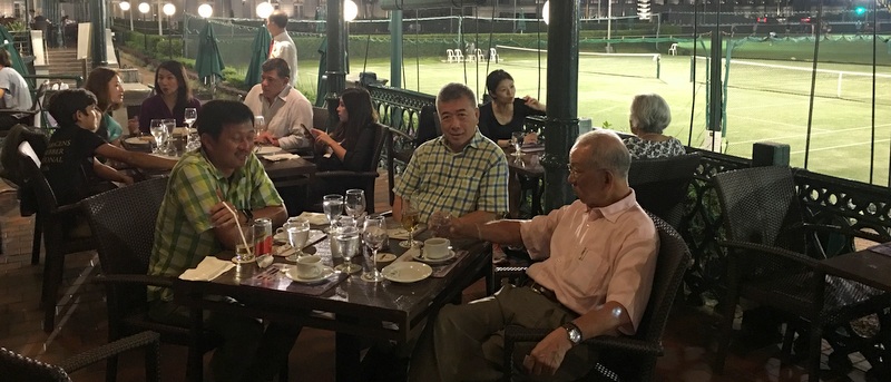
It was in this club , the oldest one of Singapore (1852), that Dr Lee invited us for our farewell dinner. The club has a dress code, fortunately we had brought long pants, shirts, shoes. We started with an aperitif and what could be a better choice than a Singapore Gin Sling?
-

- Singapore Gin Sling
-
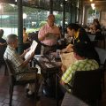
- Ordering the food
-
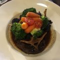
- Braised Oxtail
-

- Tandoori Salmon
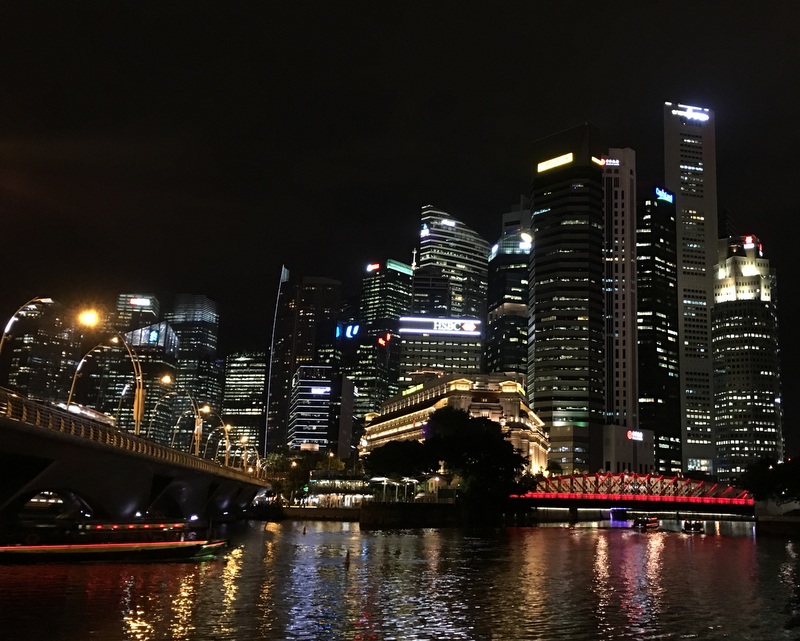
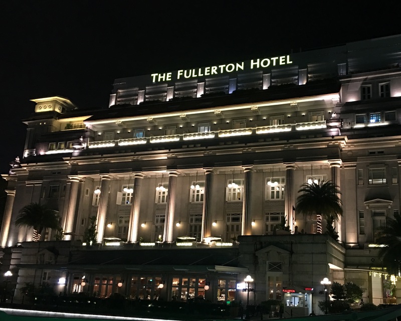
After our dinner we walked to the Singapore river for a few night view pictures. The majestic look of the Fullerton hotel suggest that is one of the prestigious old hotels of Singapore like the Raffles. Not true, the building is from 1928 and for many years it has been the Post Office of Singapore. It was only in 2001 that it became a five-star hotel!
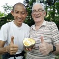
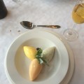
After the posh dinner in the club, we enjoyed at a stall coconut ice cream as a dessert…:-)

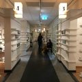
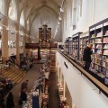
The next morning we visited the National Gallery. There was so much to see and admire that I decided to write a separate post about this impressive museum: National Gallery, Singapore

In the afternoon we took the bus back and arrived home around 11 pm, tired but very satisfied. There is much more to do in Singapore and we are looking forward to come back soon.