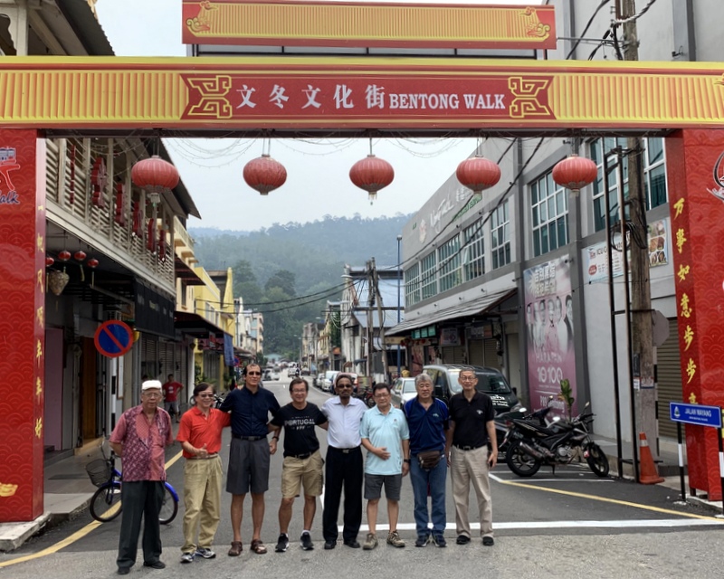
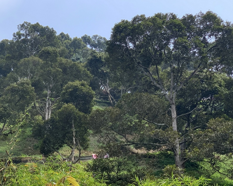
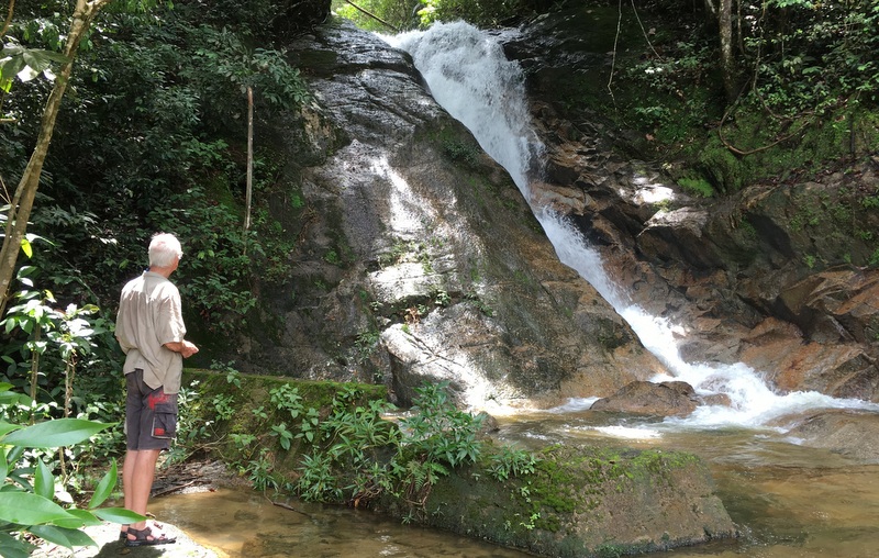
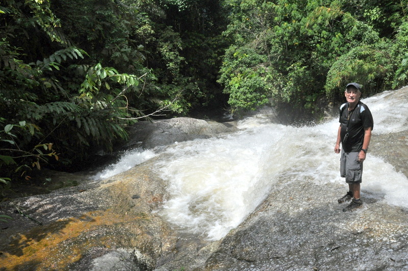
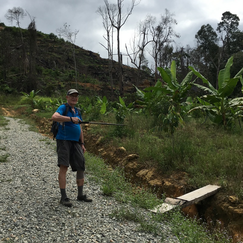
A few years ago, 31 December 2017, I published a post Waterfall Nostalgia, in which I described the beginning of my waterfall addiction. Here is another nostalgic post.
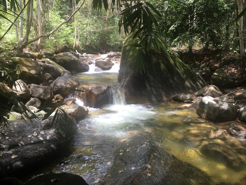
I have kept track of the waterfall trips I have made in Malaysia. Often they were day trips to waterfalls, not too far away from where I live. But also longer “expeditions” to farther away places, like Kelantan, Johore or East Malaysia. From my first waterfall trip in 2003 until now I have made about 300 trips and visited more than 200 different waterfalls.
A few times I have been camping on a waterfall trip and they belong to my most memorable experiences. Here I will describe a few.
———————————————–
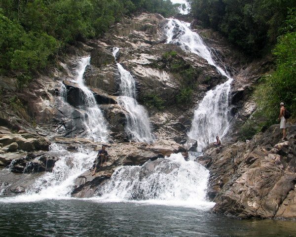
Berkelah Falls 2004
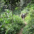
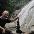
August 2004 I visited the Berkelah Falls in Pahang with Paul and Rahim. In those days you needed a 4WD for the last part of the road, we had booked transport in a nearby kampung.
A nice campsite with no other visitors! We had lunch before exploring the falls.
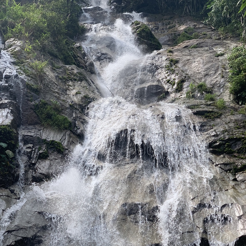
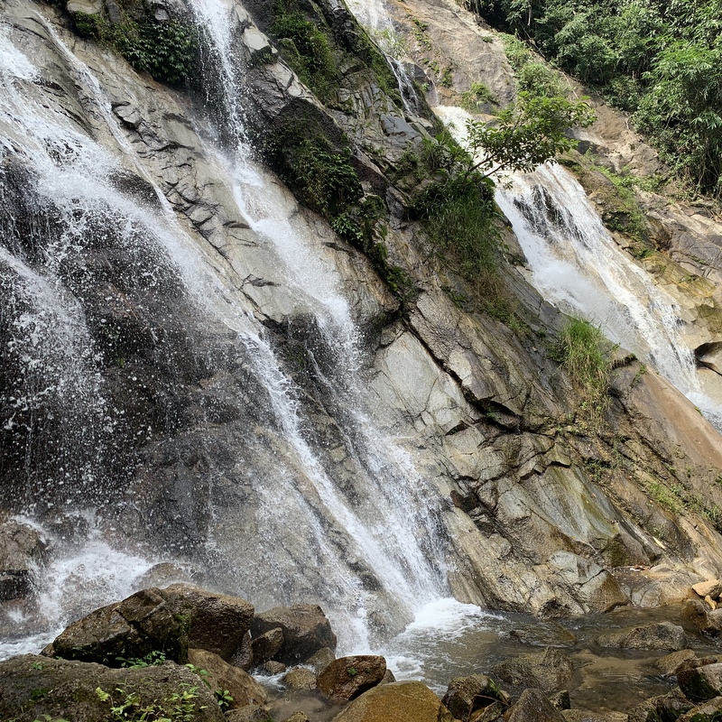
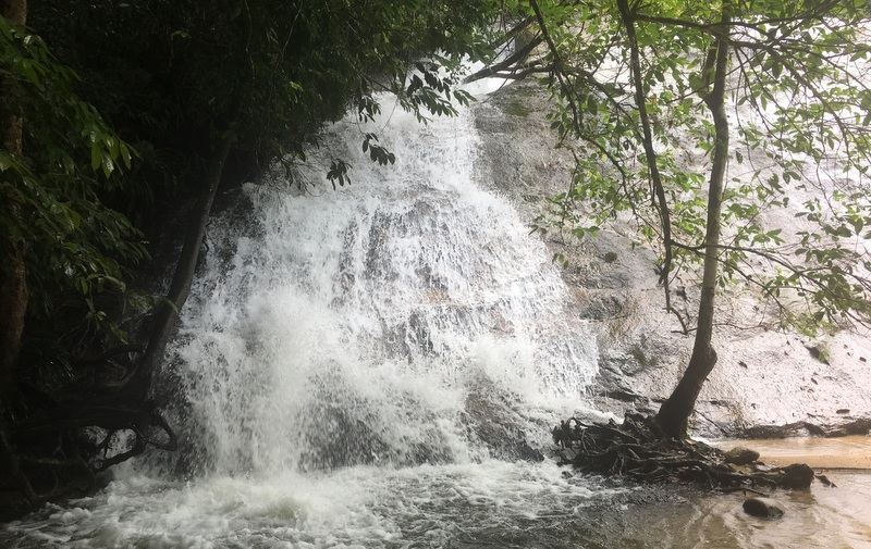
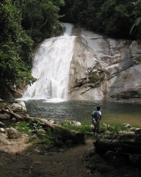
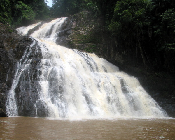
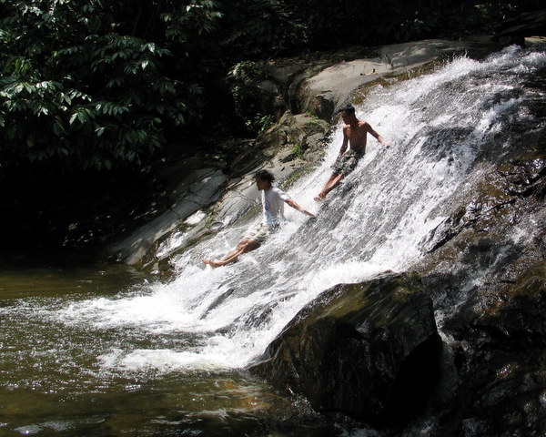
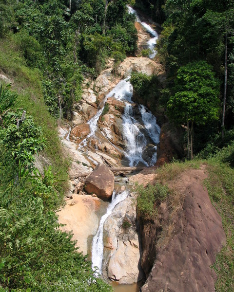
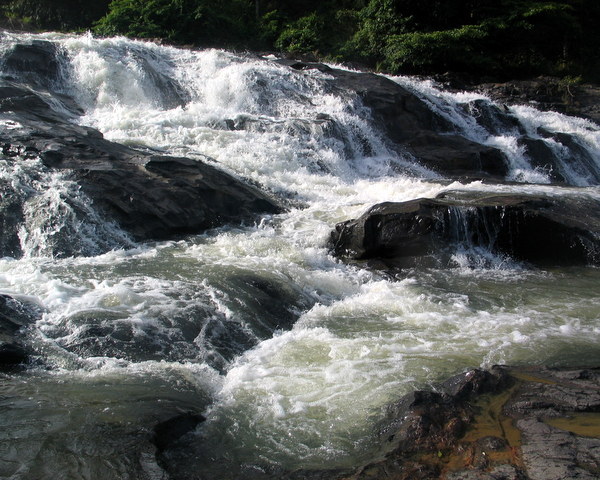
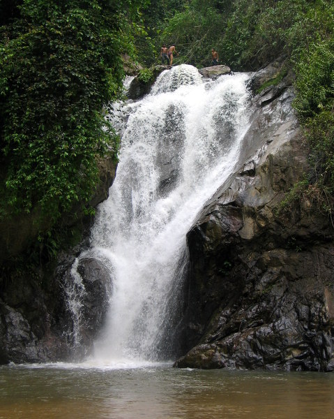
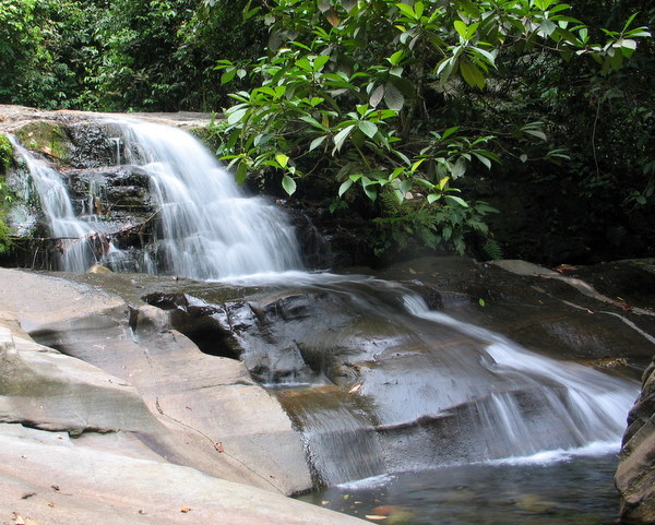
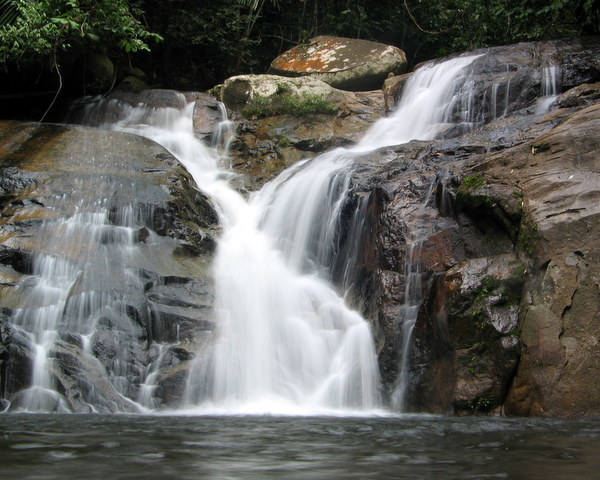
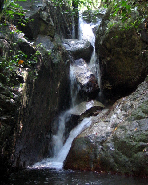
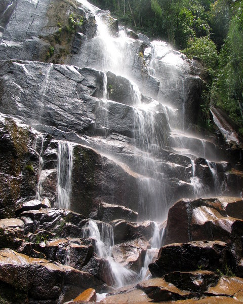
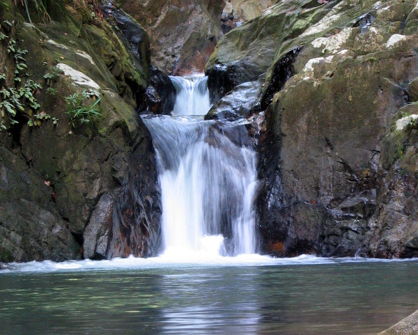
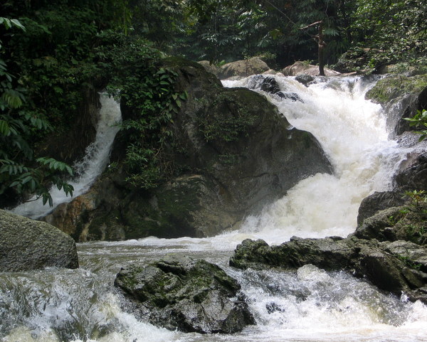
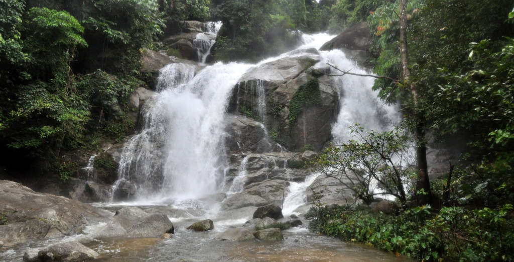
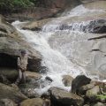
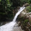
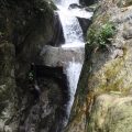
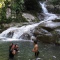
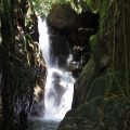
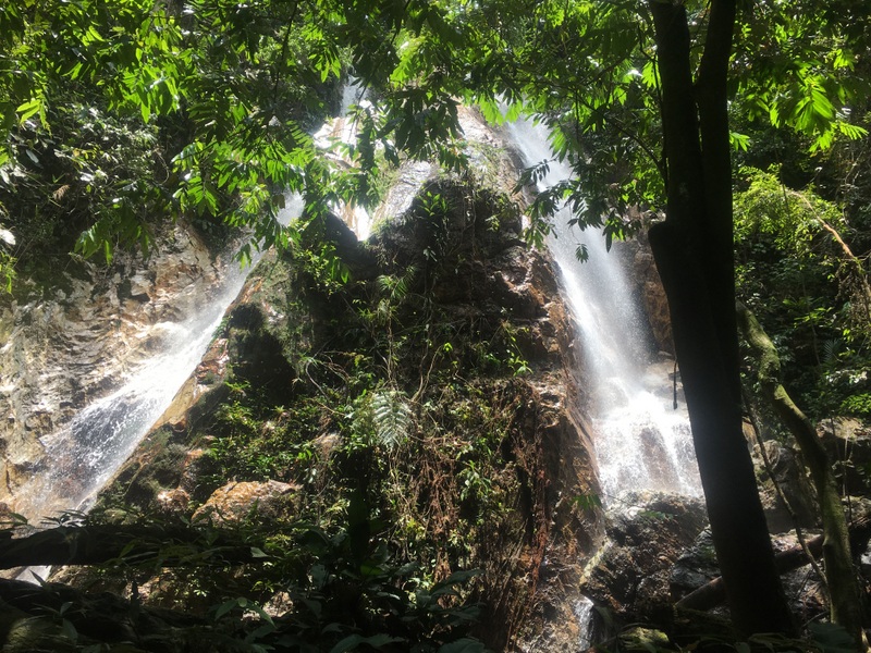
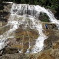
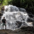
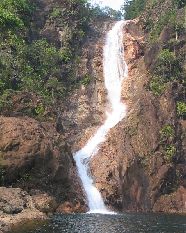
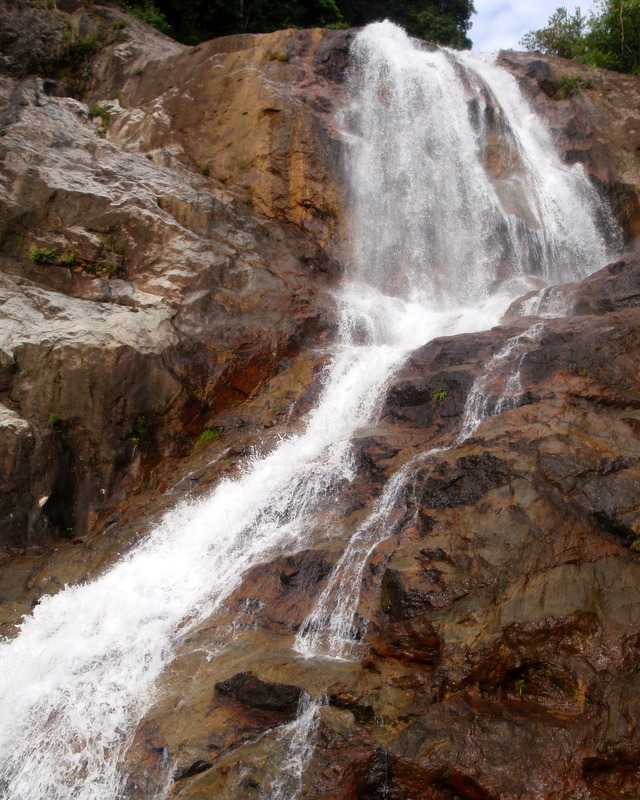
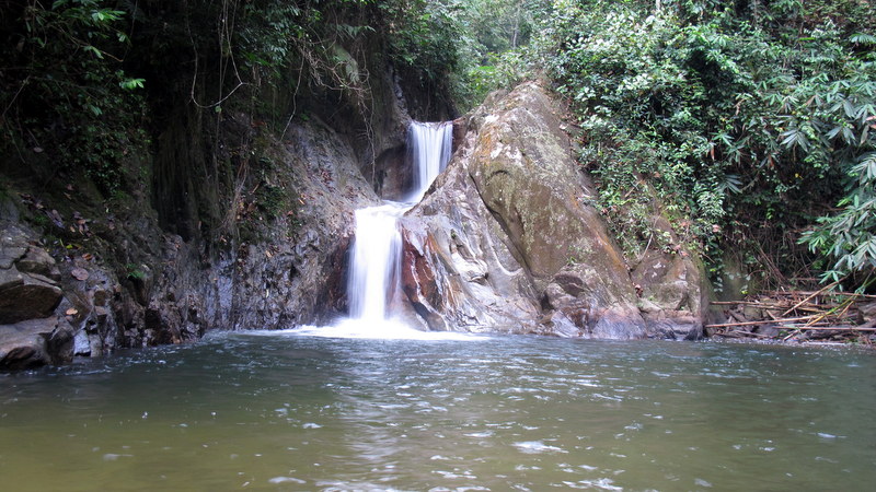
Berkelah has multiple falls. This is the impressive twin fall, near to the campsite.
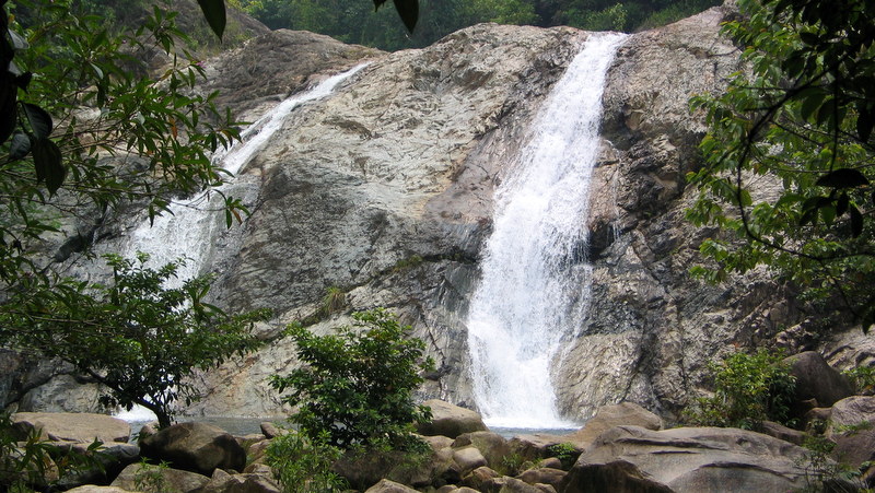
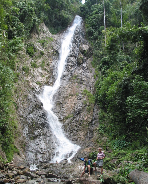
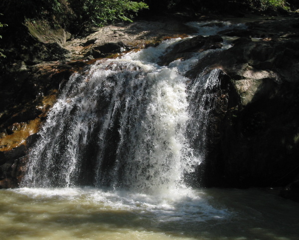
Fall after fall. The right picture shows the main fall, with a huge pool.
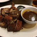
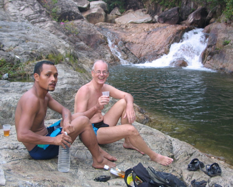
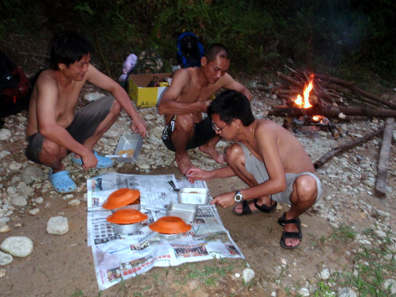
In the afternoon we walked back and had a drink before preparing dinner.
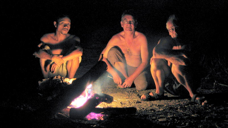
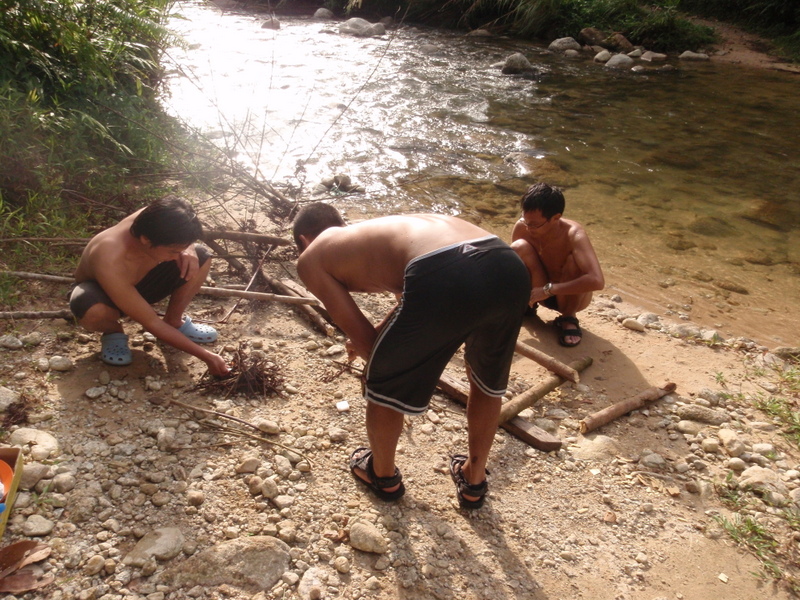
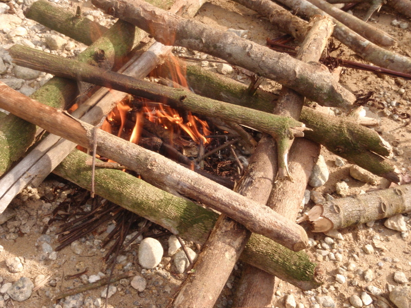
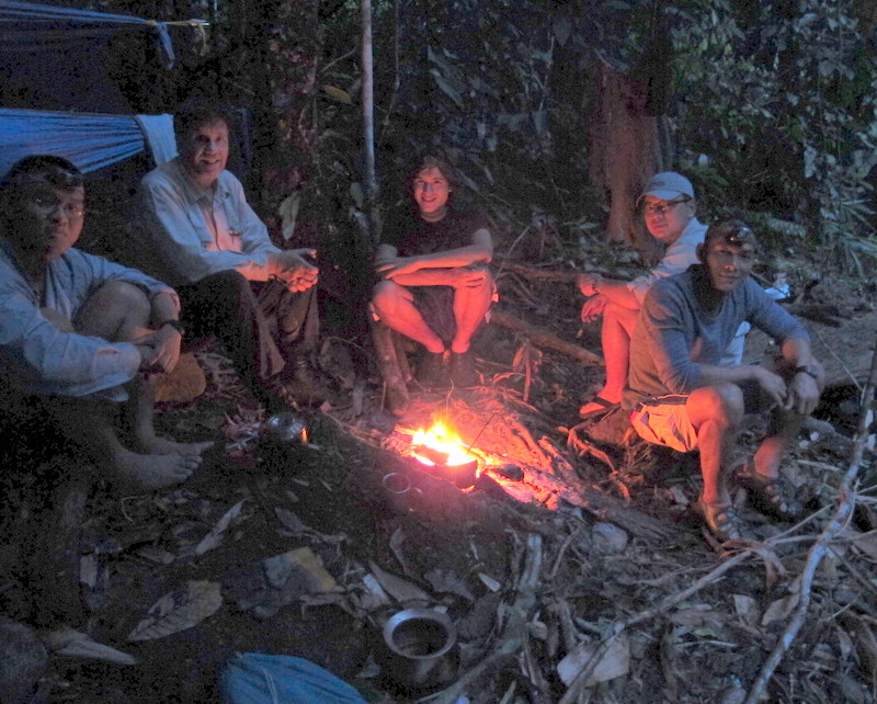
Enjoying the evening , sitting around the campfire.
———————————————–
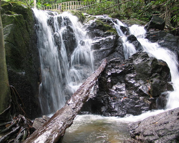
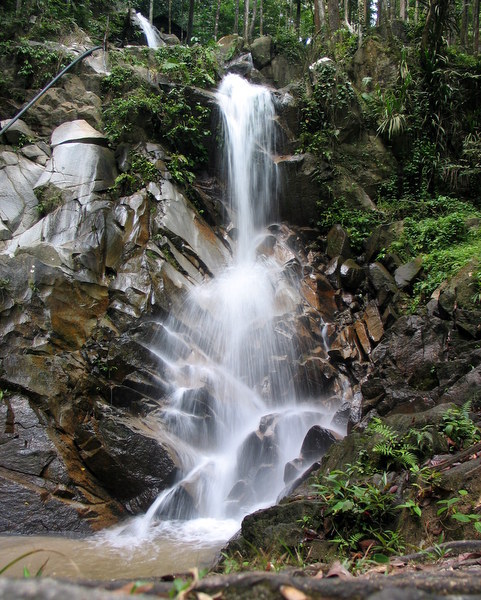
Jerangkang Falls 2008
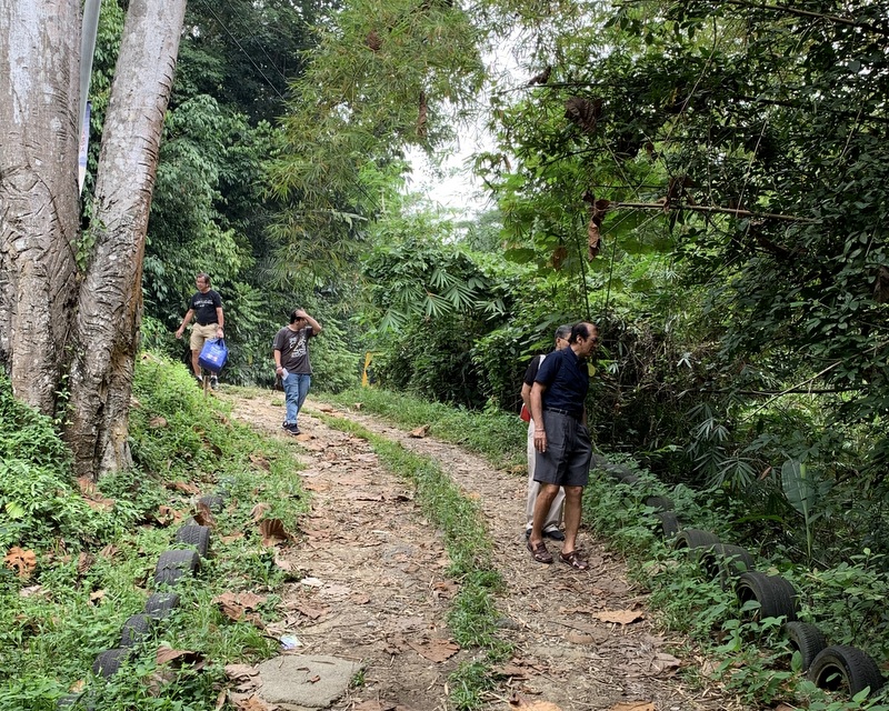
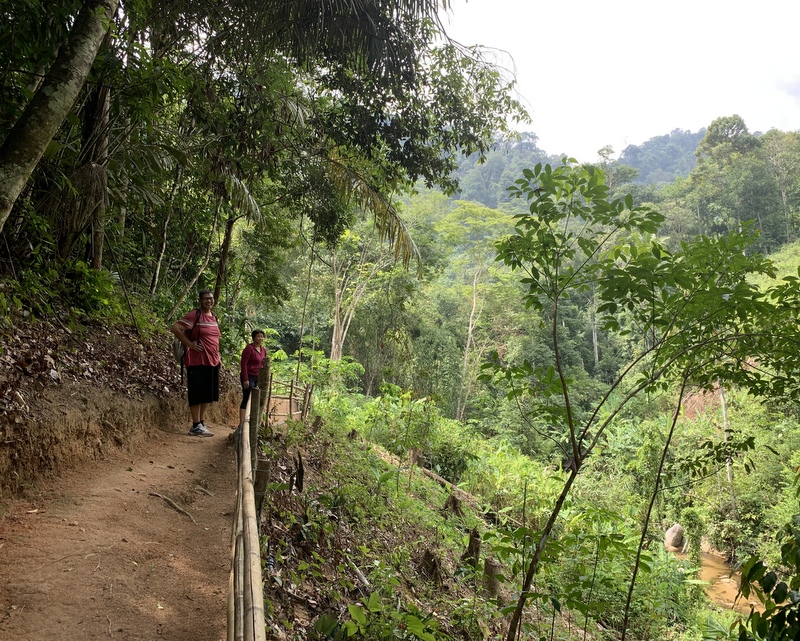
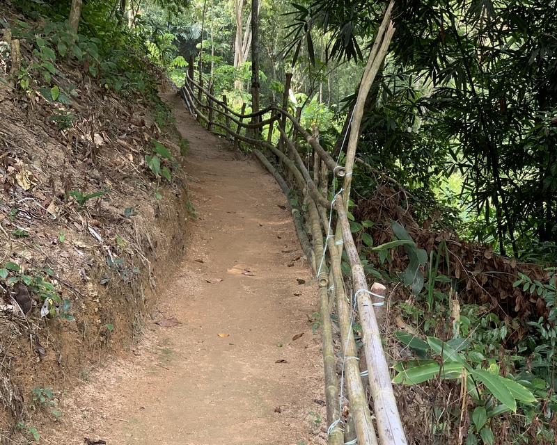
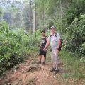
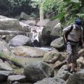
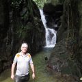
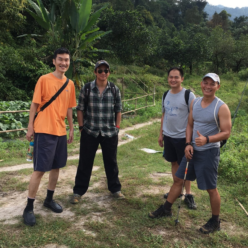
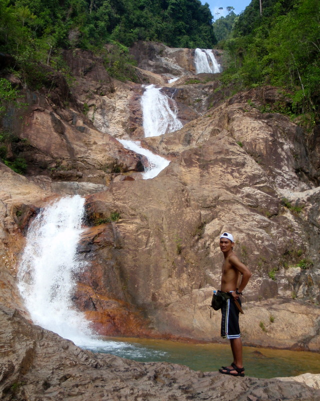
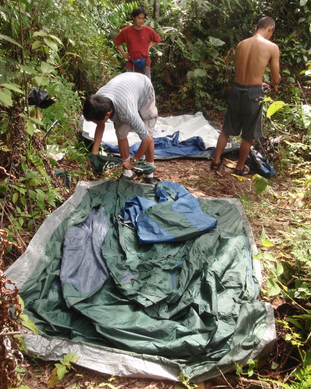
In the same year I had also visited the nearby Jerangkang Falls, a camping trip organised by a friend. A large group, nice people, but I prefer a small group of friends. A spectacular series of falls, I decided to go again, and went back in August 2008. This time with my own friends Rani, Richard, Paul an Karl. FRom the car park, we had to hike a short distance to the campsite.
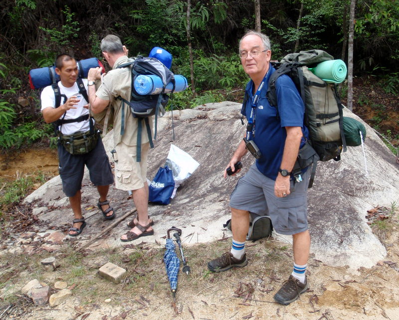
Ready to go 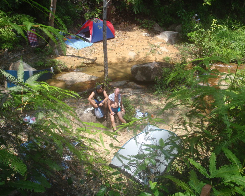
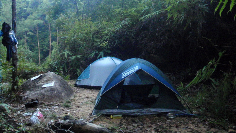
Our campsite
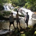
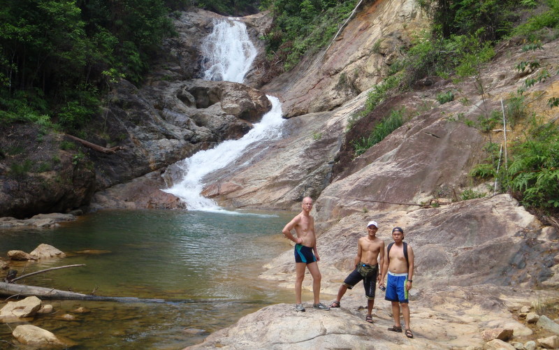
We were lucky again, no other people around. After lunch we explored the waterfalls.
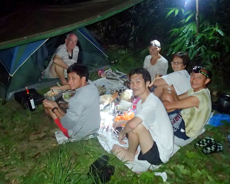
We came back to our camp quite late, but it was still light enough to prepare dinner.

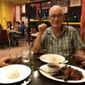
Dinner 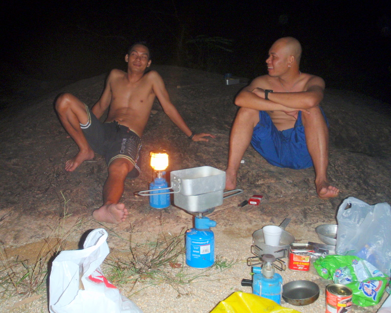
Coffee time
Early morning. Morning atmosphere in the jungle is magic. Slowly it is getting light and colours appear again.
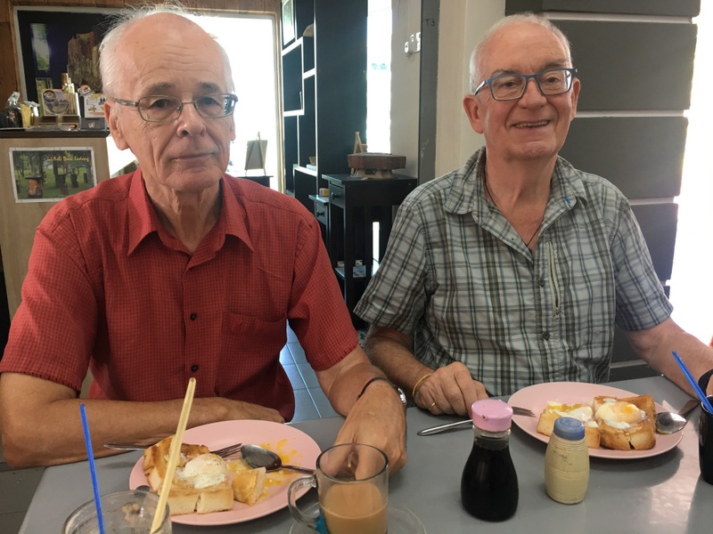
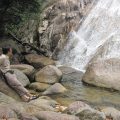
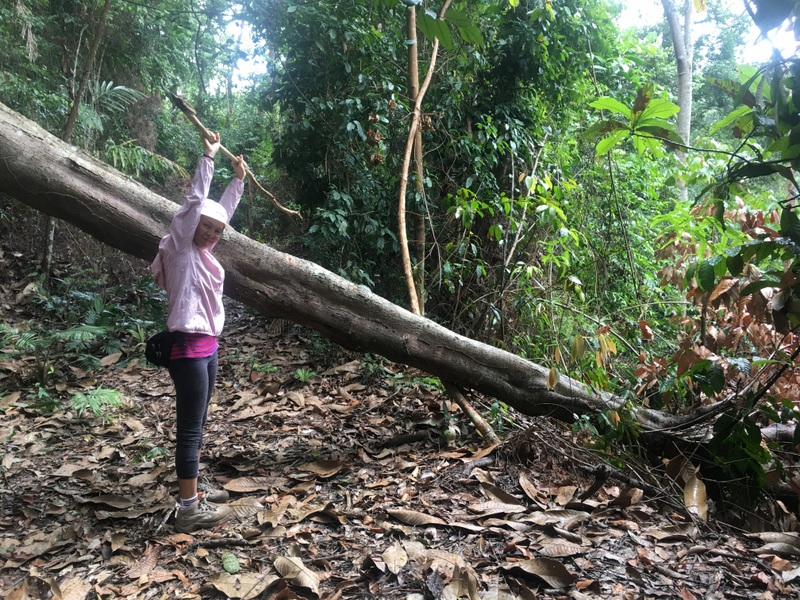
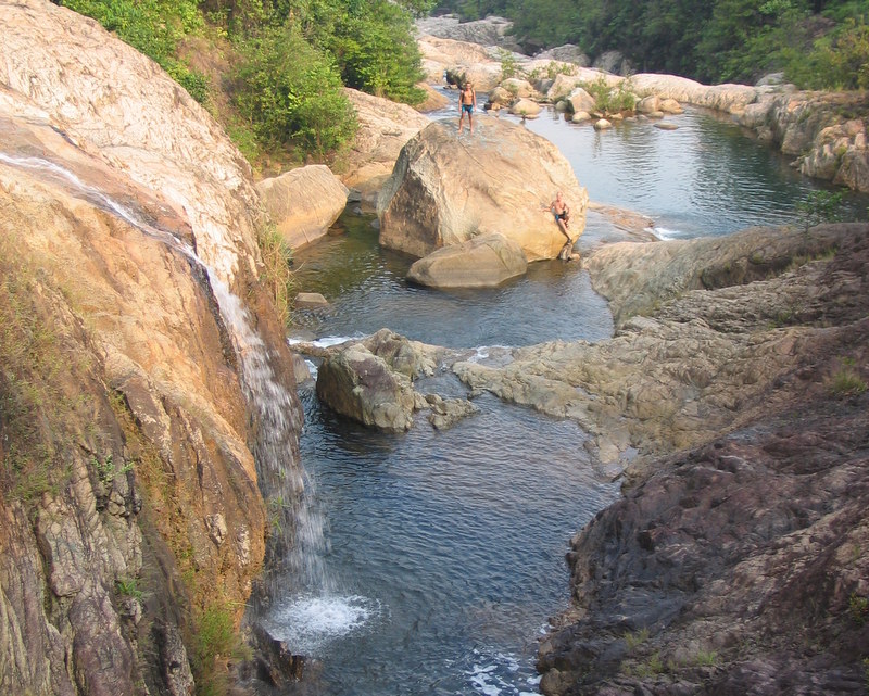
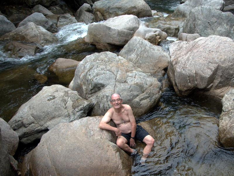
We had breakfast on a big boulder near our camp. And before leaving, we had time to explore more and play around. Beautiful pools.

Breakfast 
Find Paul and Karl 🙂
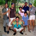
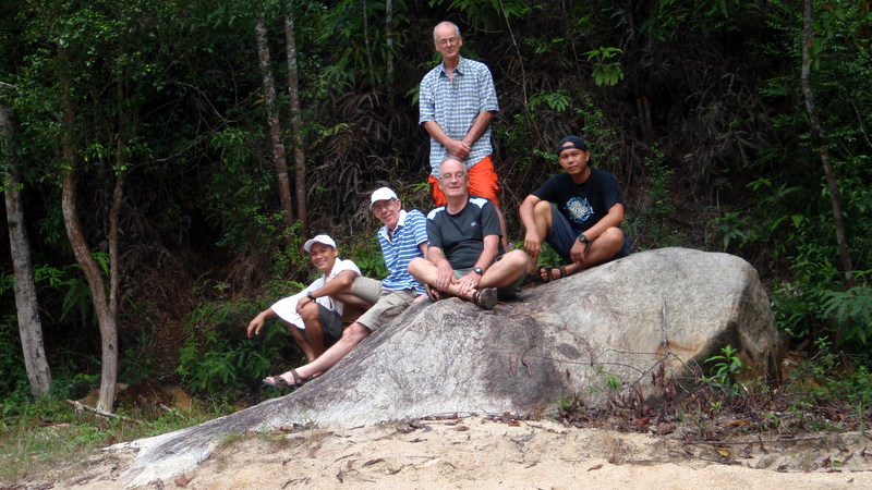
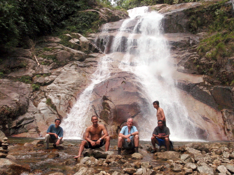
Here is a picture of our fellowship. In 2008 I have published a more detailed report about this trip: Camping in Paradise.
———————————————–
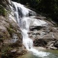
Tigok Fall 2009
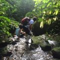
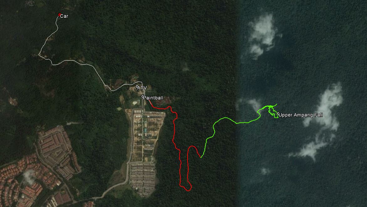
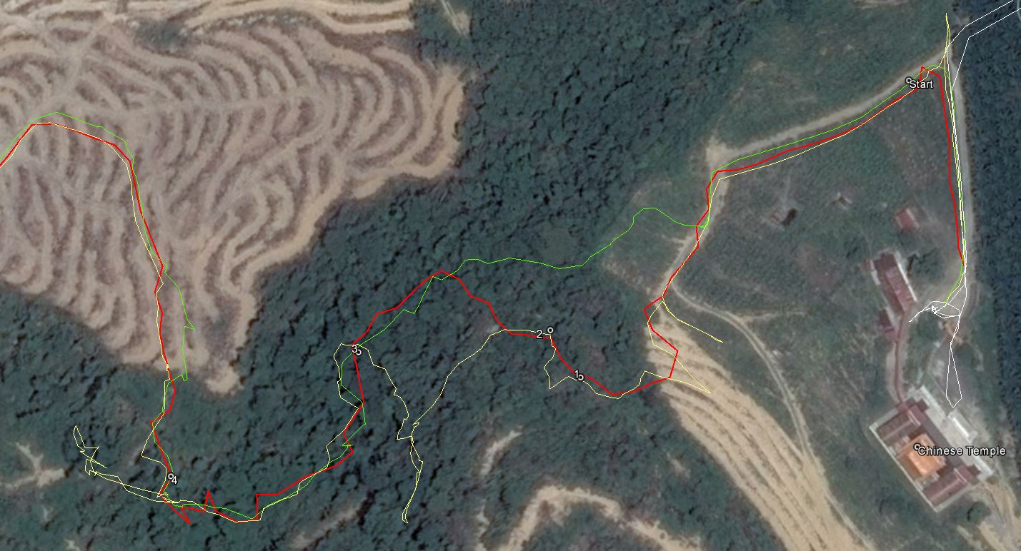
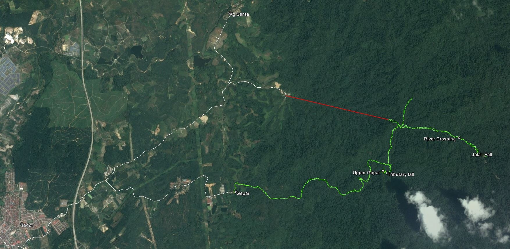
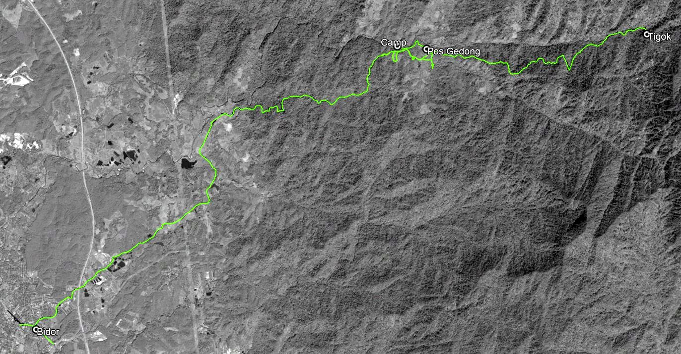
My waterfall friend Siang Hui is very good in discovering new waterfalls, using topo maps and Google Earth. On GE he found a very remote fall in the Bidor region, estimated altitude about 750 m above sea level. When I was passing Bidor on my way back from Taiping, I did a short recce and found a signboard to Pos Gedong, from here it might be possible to reach this fall.
So Siang Hui, Aric, Rani and I decided to give it a try and camp overnight near Pos Gedong. After arriving there we talked with the the penghulu, who knew about the fall and found a guide for us.
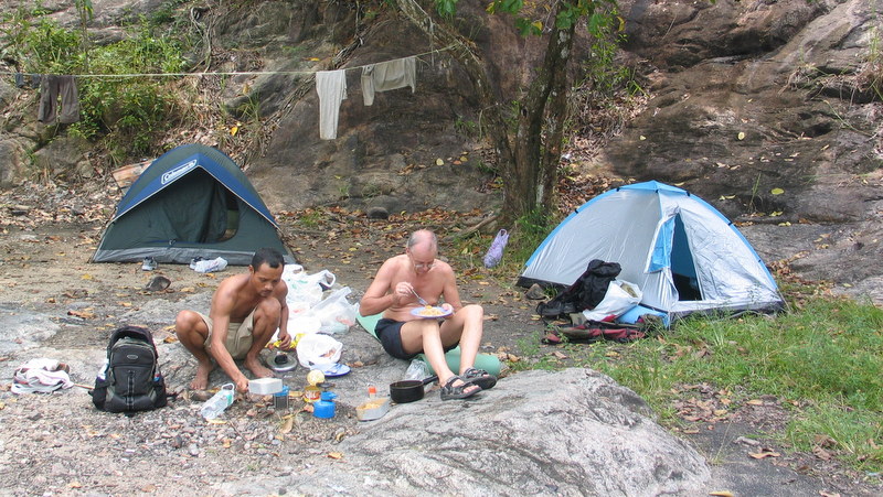
We found a suitable place for camping not far from the village near the bank of the river and we could even park the car almost next to our tents 🙂


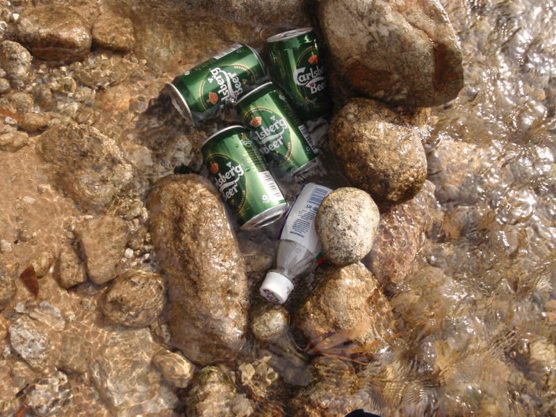
The weather was nice, we had a relaxing afternoon, there was beer, we made a campfire and later prepared our dinner.
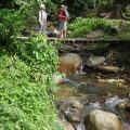
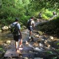
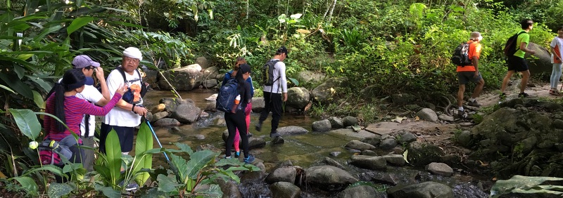
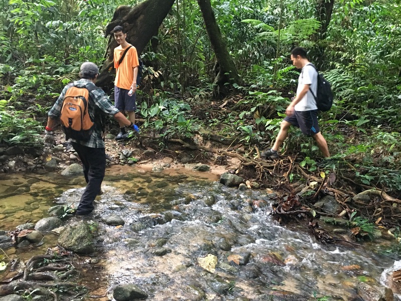
The next morning, after breakfast and packing our stuff, we met our guide in the village and went on our way. First following a logging road, river trekking the last part.

It took us more than three hours to reach the fall, our guide had to chop his way often, hardly a trail. But it was worth the effort. Not many outsiders must have visited this fall, no rubbish, pristine condition.
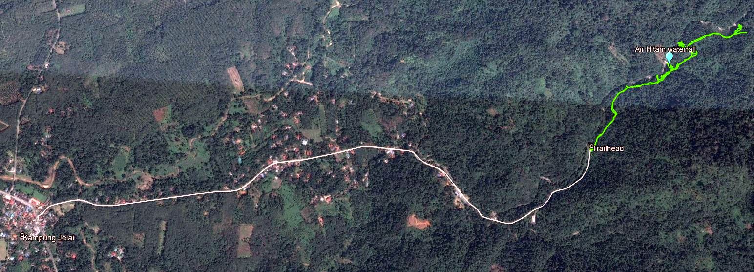
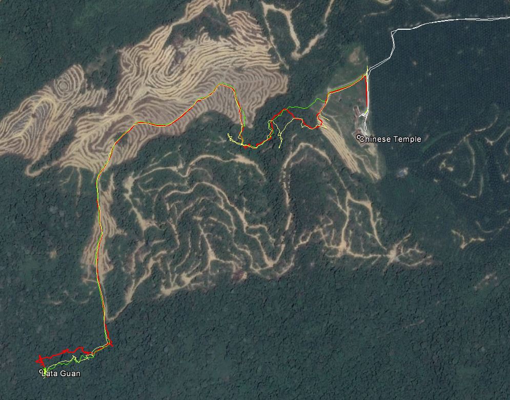
To go back to the village took us about two hours. Here is a Google Earth map of our route. We walked about 15 km. Very rewarding adventure, here is a detailed report Ulu Gedong Adventure
———————————————–
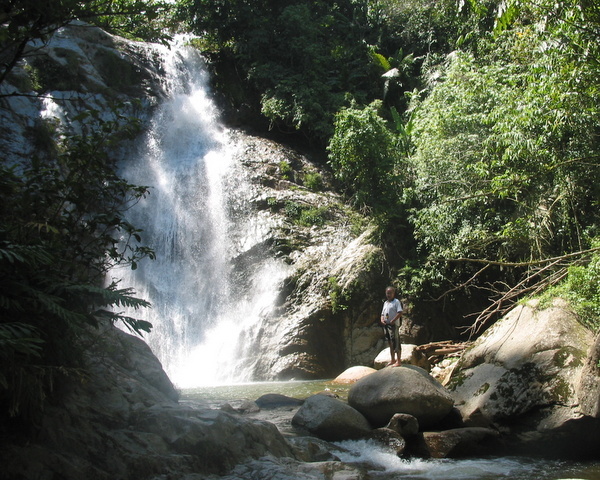
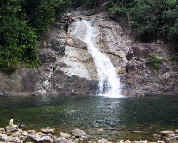
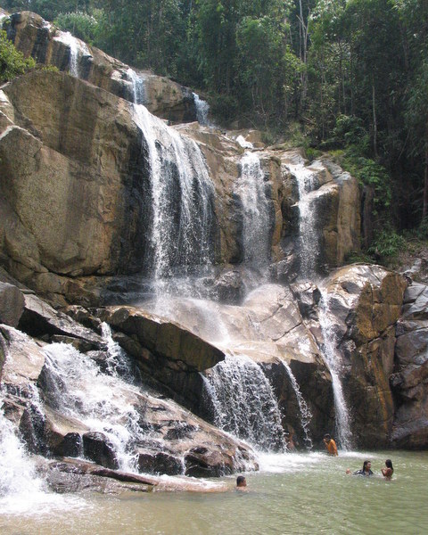
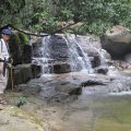
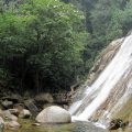
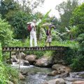
Sg Luit Falls 2011
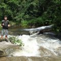
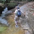
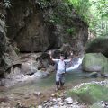
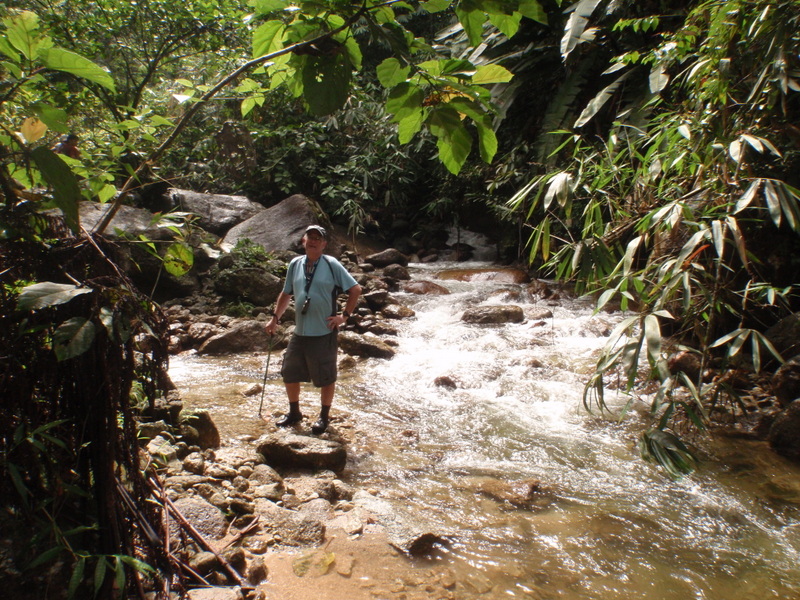
The first time I explored Sg Luit was in 2010 with my friend Keong. Here is a report: Following Chapman’s footprints. After friends told me that there was a beautiful waterfall further upstream, I went back with them to this impressive Lata Makau. Back home, studying Google Earth, I noticed that there could be another big waterfall, just around the corner from Lata Makau. In July 2011 I went again, with Keong, Rani, Jim, Ben and Vincent. We decided to camp near Lata Makau, to have more time for exploration upstream.
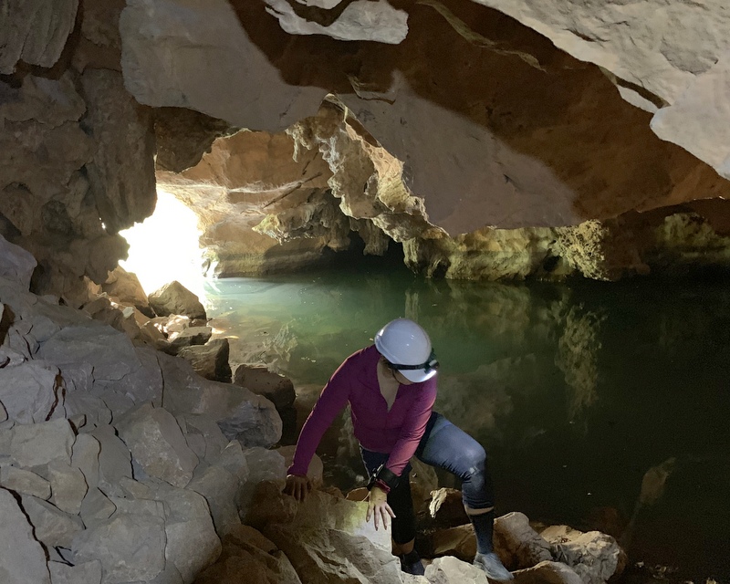
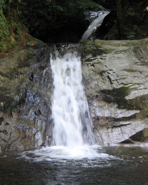
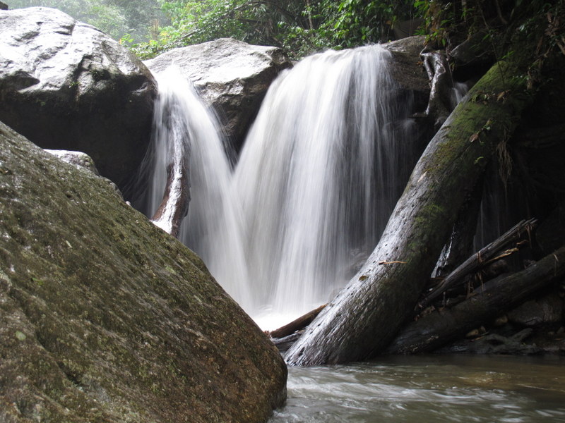
It was my most adventurous camping trip. As we didn’t expect to find a regular campsite, we brought hammocks. I had a hammock, but never really used it. No problem because Rani and Keong were experienced hammockers who could help me 🙂 Dark clouds forced us to set up camp before we reached Lata Makau, near a nice small waterfall.
Here is our romantic campsite.
The afternoon rain didn’t last long. We prepared dinner, made a campfire and had a pleasant evening. Real jungle feeling.

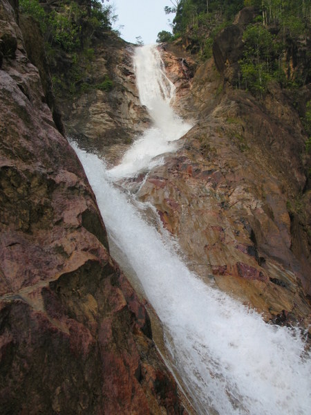
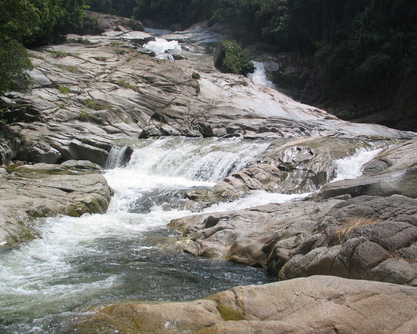
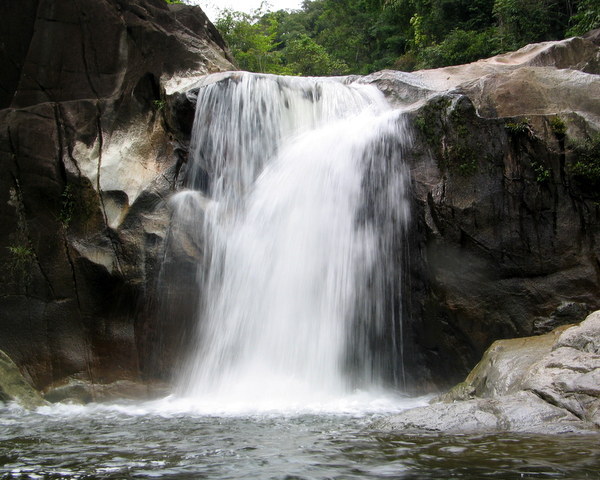
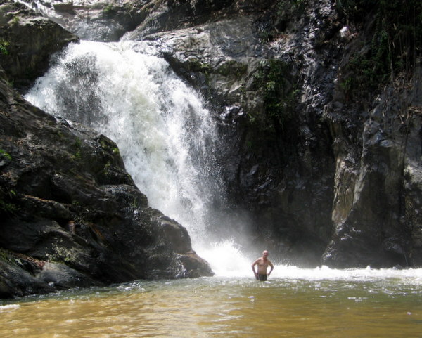
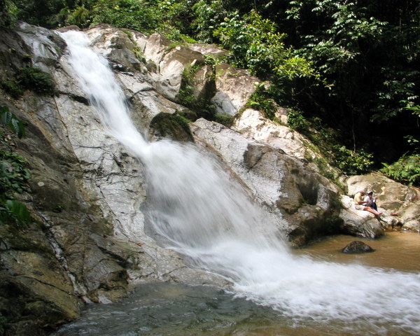
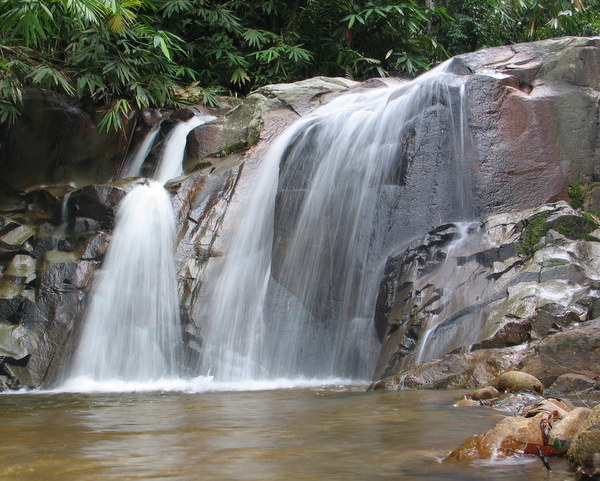
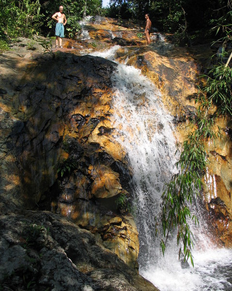
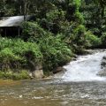
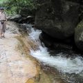
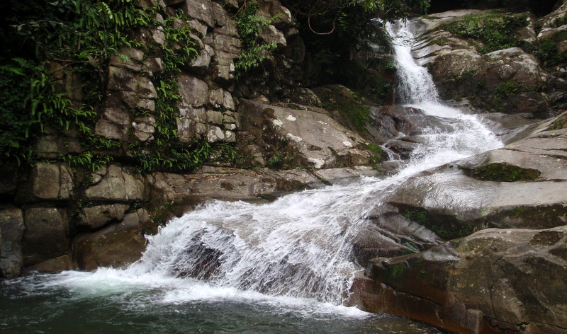
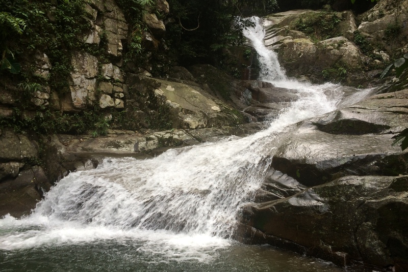
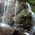
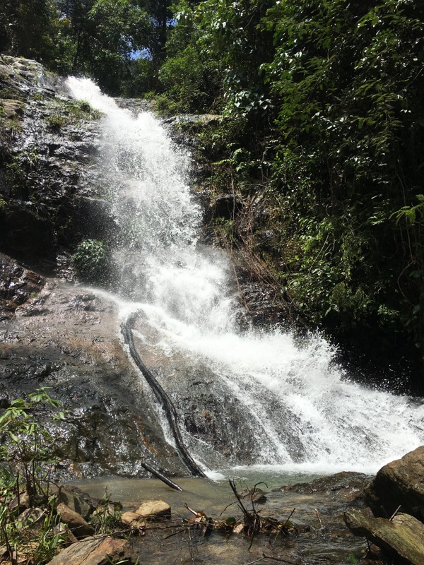
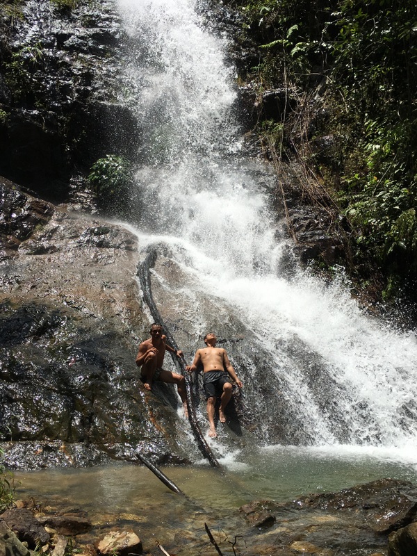
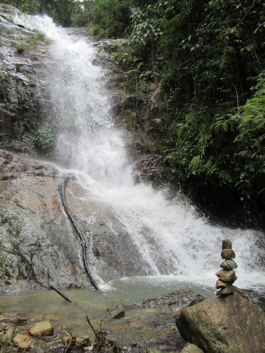
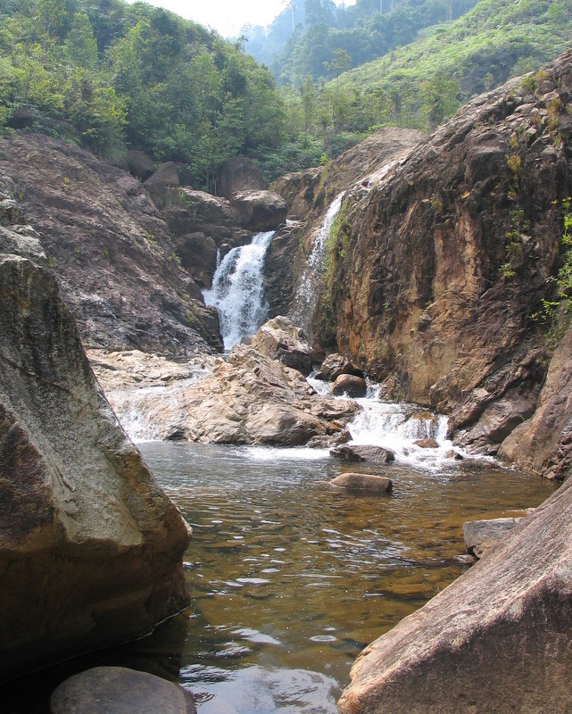
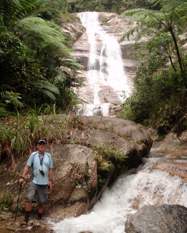
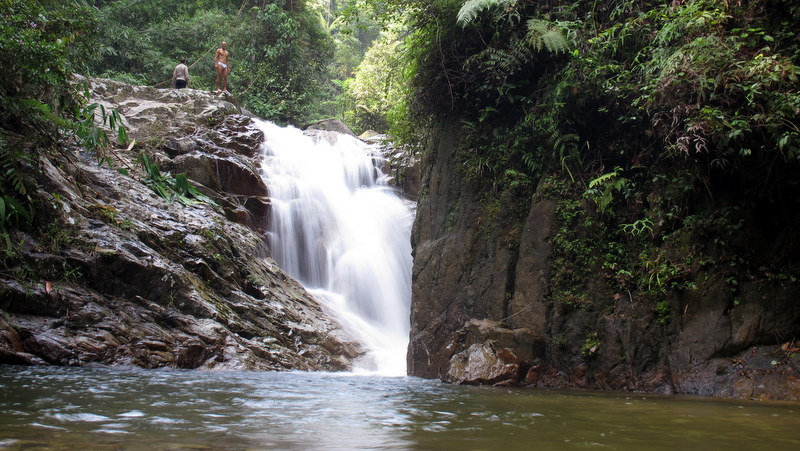
The next morning after breakfast we continued to Lata Makau. Beautiful fall with a huge pool.
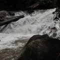
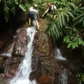
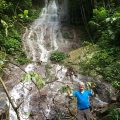
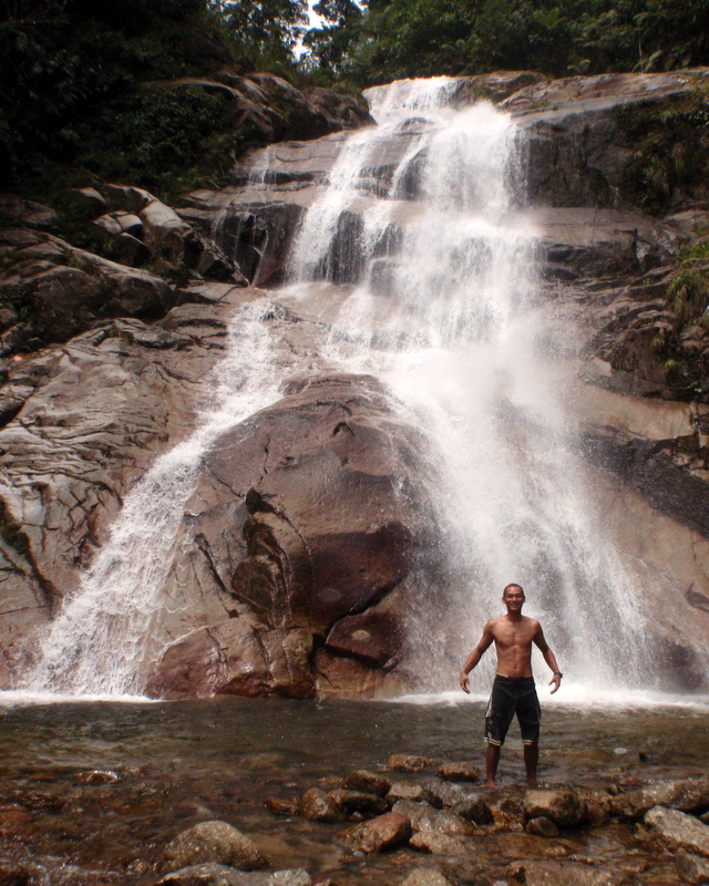
We managed to scramble up to the right side. No trail , we had to use our parangs, but it was not far. As I expected, around the corner, there was the upper fall, also expressive. Compare the fall with the size of Jim and Rani, who climbed up to see if there were more falls upstream.
Mission accomplished ! Here is a more detailed report: Three times Sg Luit .
———————————————–
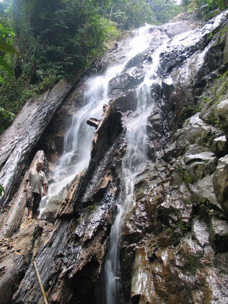
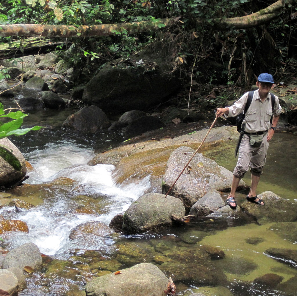
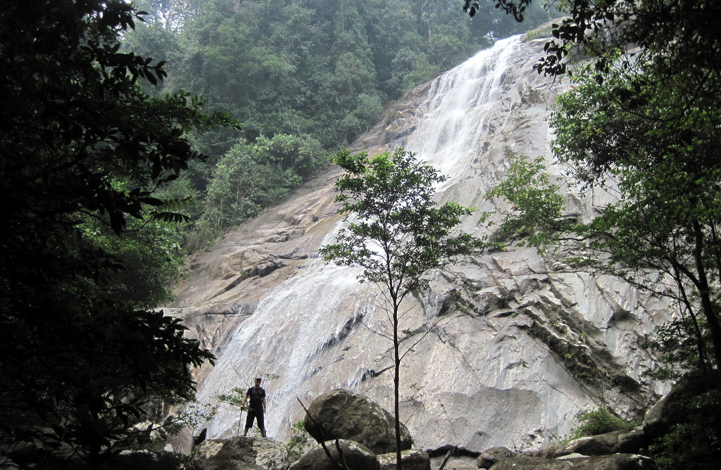
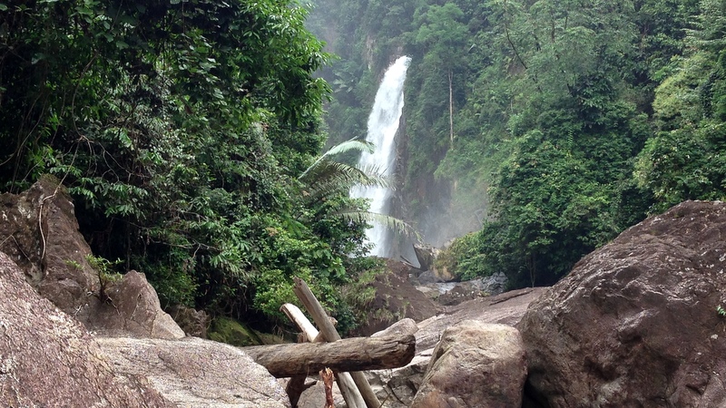
Jeram Berdebu 2013
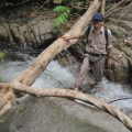
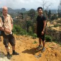
Our trip to the remote Berdebu waterfall in Terengganu had a special background. In August 2012 Harry, one of my waterfall friends, had visited this waterfall and on his way back from the fall had died in a fatal accident. He was alone and his body was found only a week later. So it was a kind of memorial trip, I was joined by Aric, Siang Hui, Teoh and Nick. Because of the remote location we decided to camp.
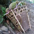
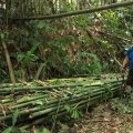
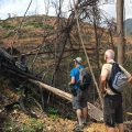
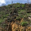
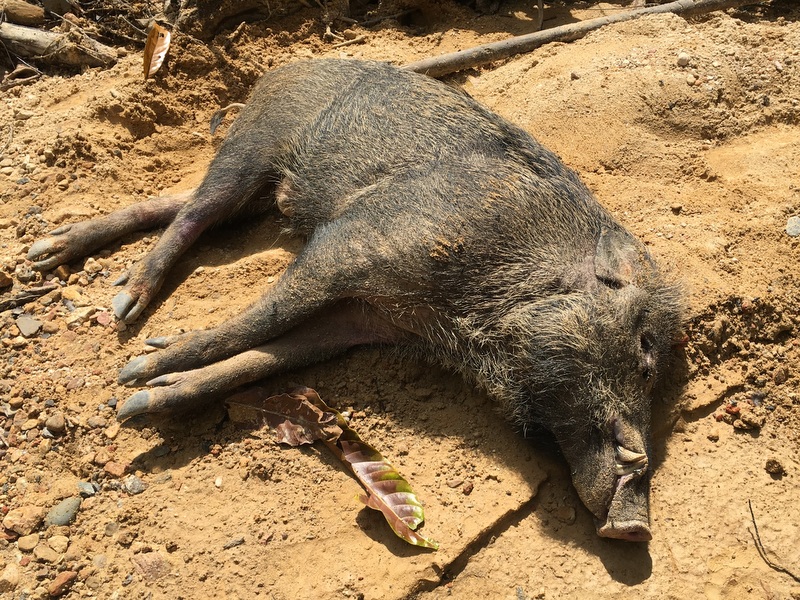
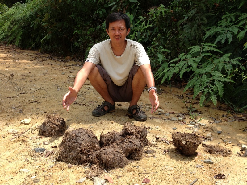
The Berdebu waterfall is located in the Kelemin river and to reach this river you have to follow a logging road for more than 20 km to a logging camp, where Harry’s car was found. We came across fresh elephant dung!

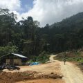
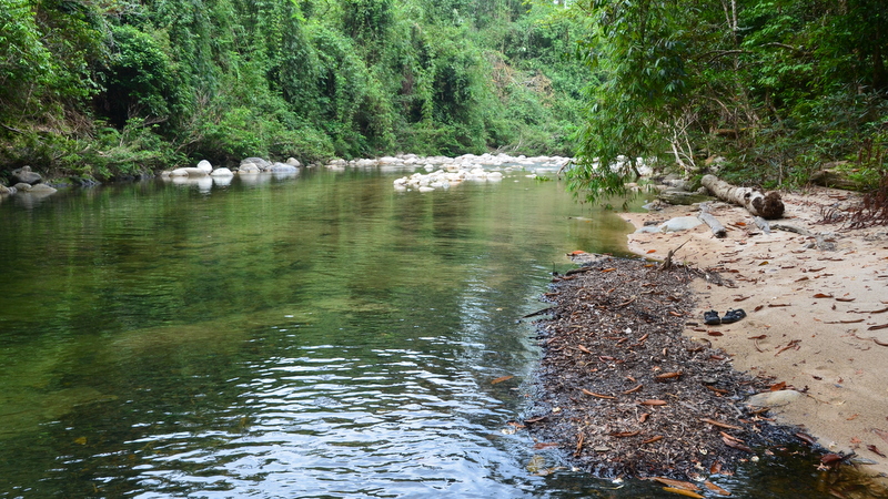
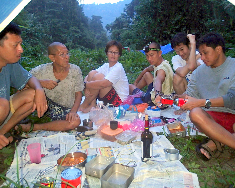
A few km after this camp we found the perfect place to pitch our tents on the bank of the Kelemin river.

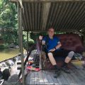
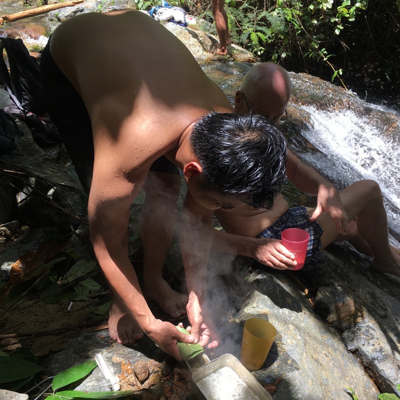
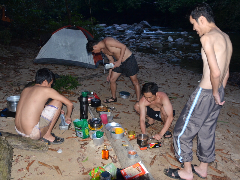
It was already late afternoon, time to make coffee and a campfire.

We had enough time to relax.

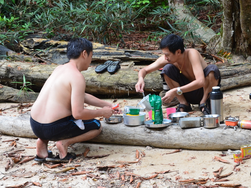
Before we got busy preparing our dinner.

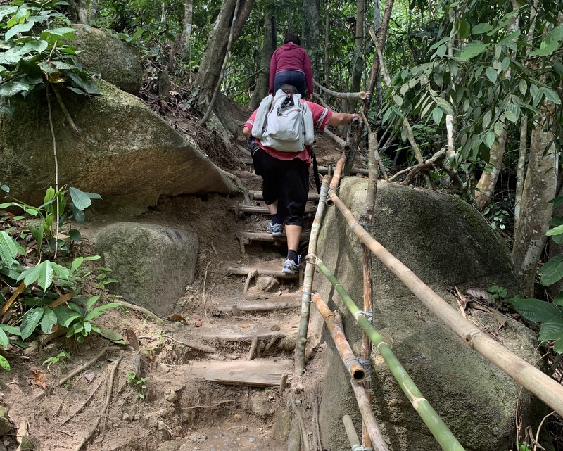
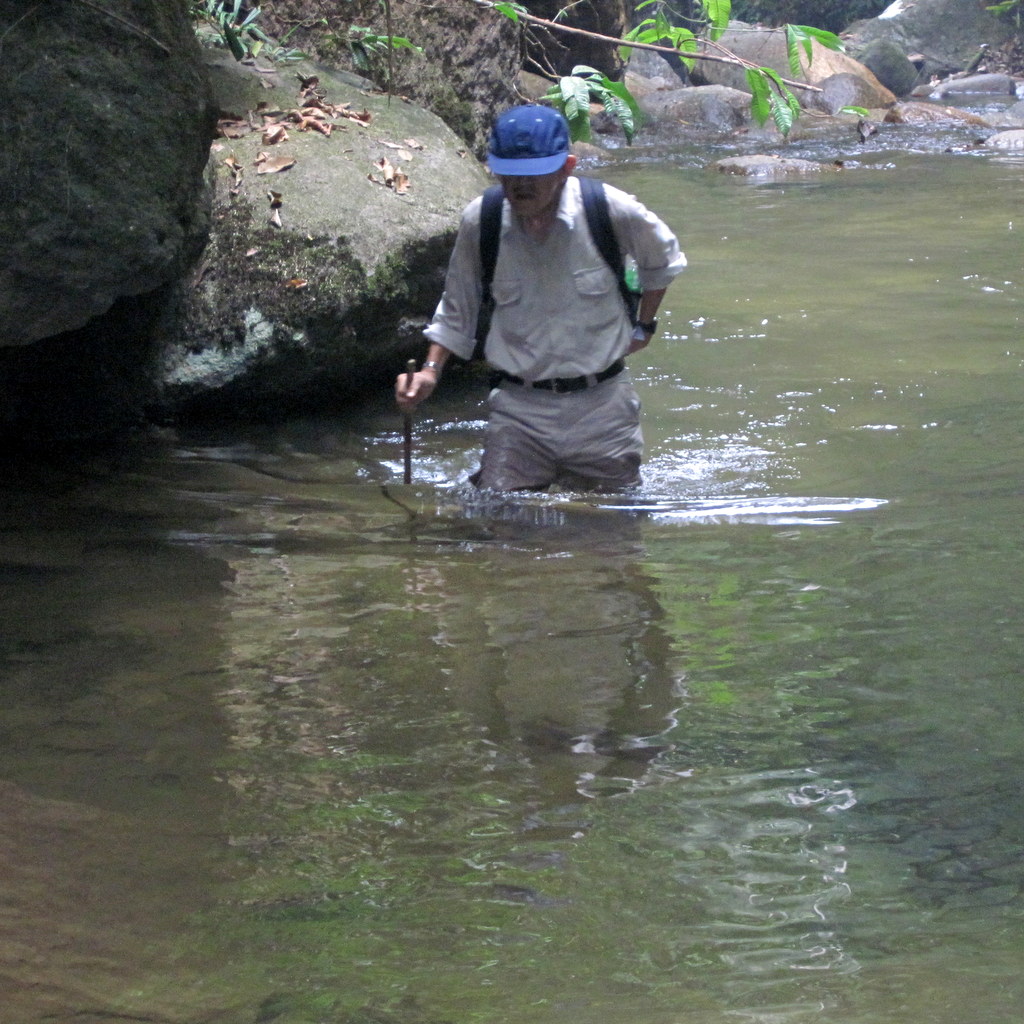
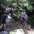
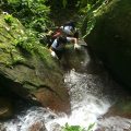
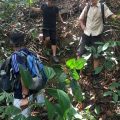
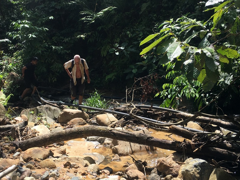
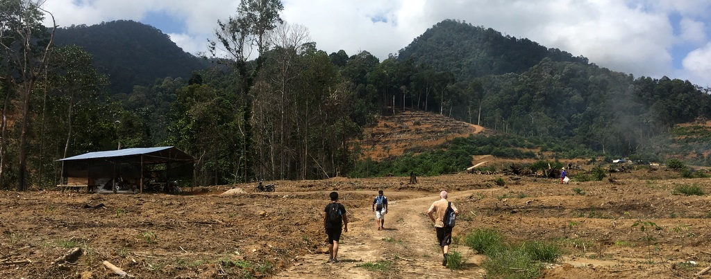
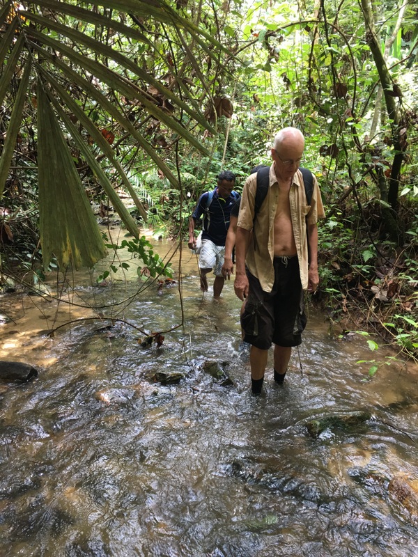
The next morning after breakfast, we started hiking to the fall. The first part was still a logging road, but soon it became river trekking, not always easy, huge boulders.
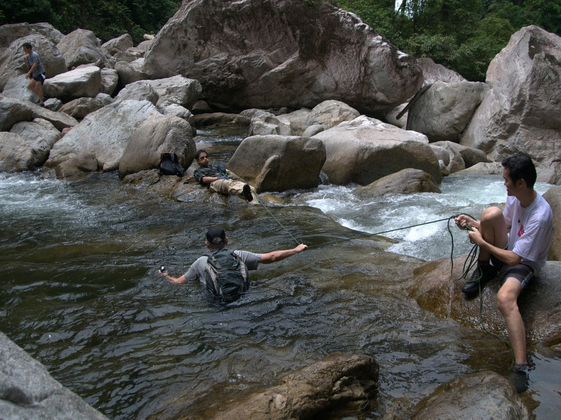
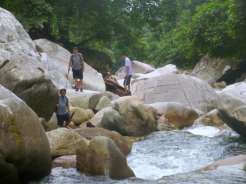
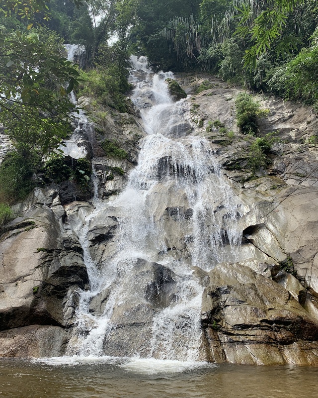
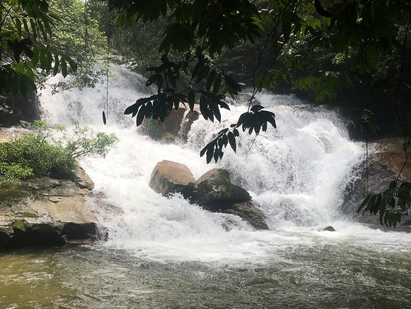
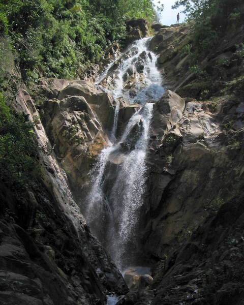
After a few hours we could see the spectacular Berdebu fall.
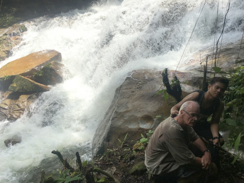
It was still a few hundred meter to the fall, with difficult river crossings and terrain. I decided that it was enough for me, Aric stayed with me and Siang Hui, Teoh and Nick continued. The right picture was taken by Siang Hui.
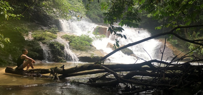
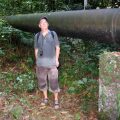
Before hiking back we took a group photo. Later I found out that we were resting here at the same location where Harry had also taken a photo. Read my report A Memorable Trip.
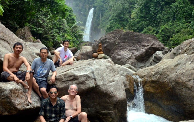
This was seven years ago, time flies. It is still a very vivid memory for me. The stone marker that you see in the picture above, was erected for Harry.
———————————————–
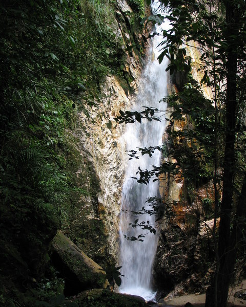
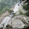
Dipang Falls 2014
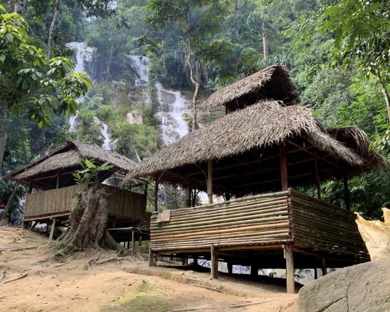
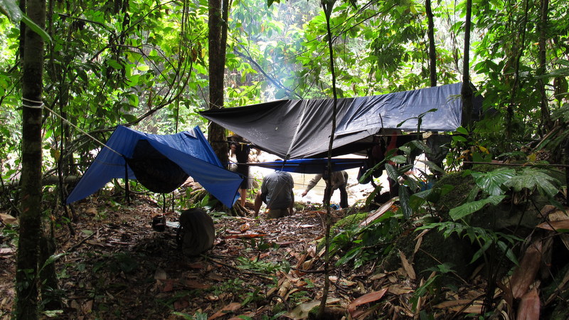
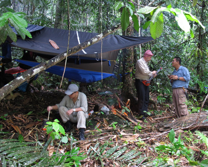
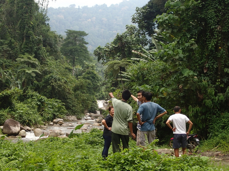
In 2009 I visited the Pos Dipang falls for the first time. On this trip I met Jinnah, a friendly Semai orang asli, who told us that there were many more waterfalls instream. With him as a guide I went three more times, exploring the upper falls. The last time even camping there, because the upper falls are very remote. Here is my report Three Times Dipang. In 2014 I went again to the upper falls, this time with Aric, Teoh, Nick, Eddie, Edwin and Janine. Camping again and with Jinnah as our guide.
We met Jinnah in Pos Dipang and got permission from the Penghulu to camp. After some discussion with Jinnah, we decided to camp in the same place where I had camped earlier with Rani.
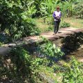
Where to camp? 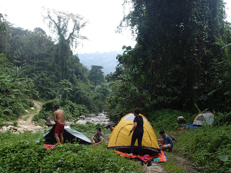
We chose this location
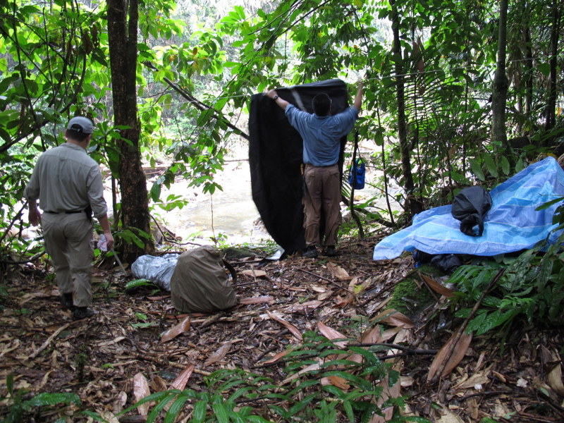
As dark clouds were approaching, we had to protect our tents with fly sheets against the heavy downpour that followed.
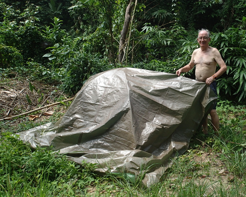
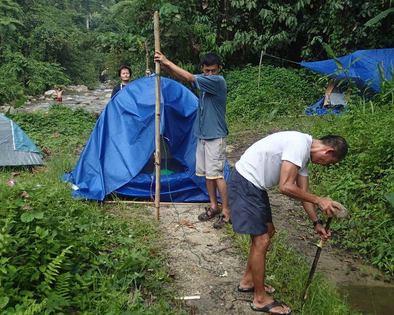
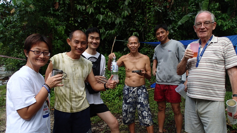
Luckily around 5 pm the rain stopped.

So we could enjoy a drink 🙂
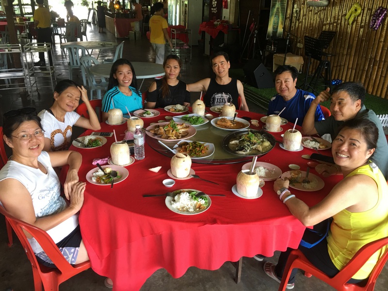
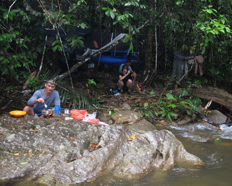
Basically we had all brought our own food for dinner, but why not join and share ;-). It resulted in a nice evening of fellowship.
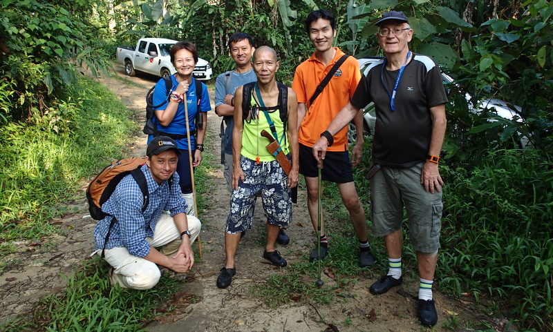
The next morning. Ready to go.
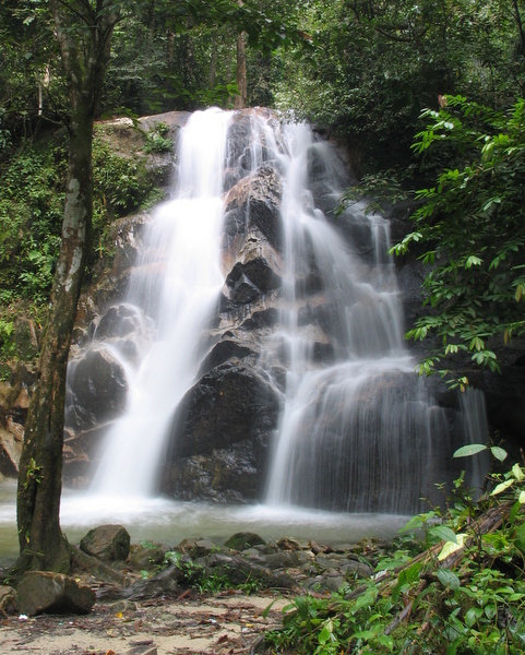
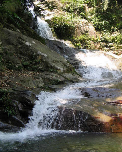
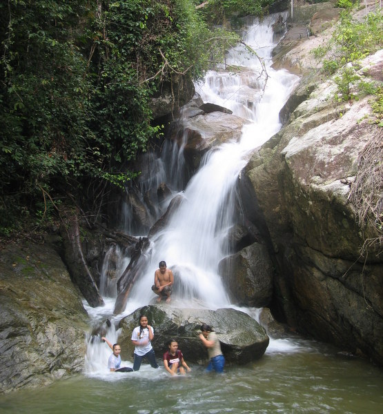
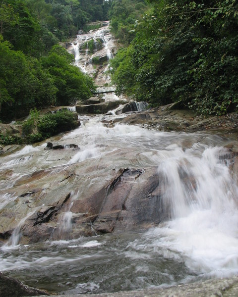
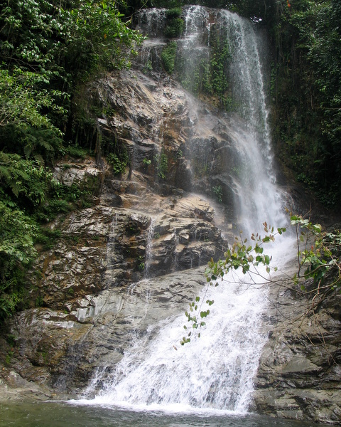
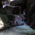
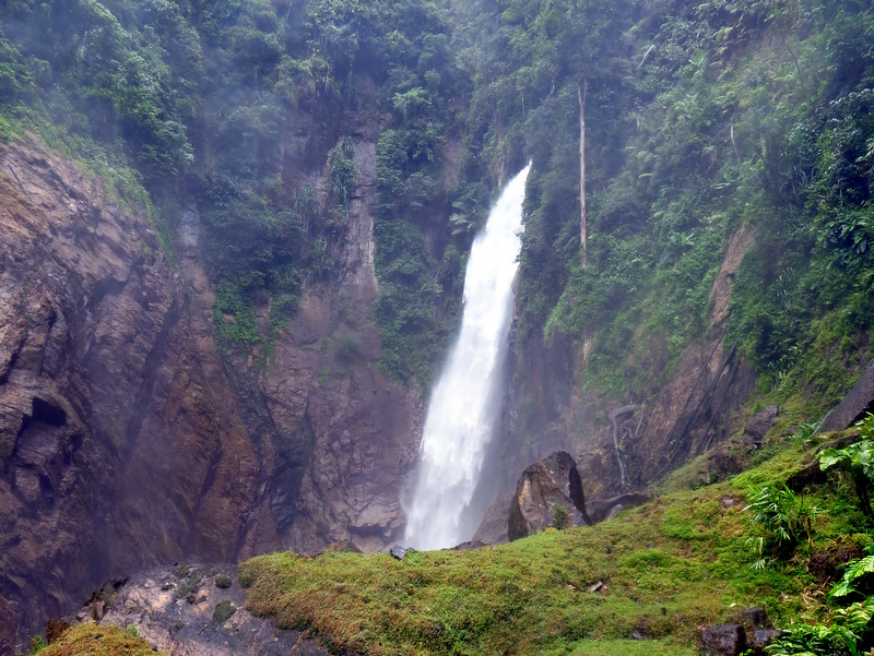
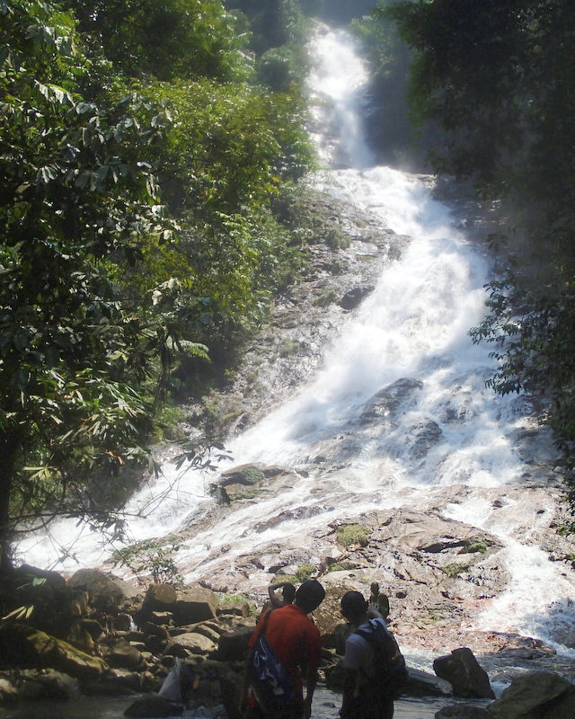
It was a long, but pleasant hike. First we visited Lata Cheroh, during my last trip I had only seen it from the top, now w arrived at the bottom, quite a spectacular waterfall.

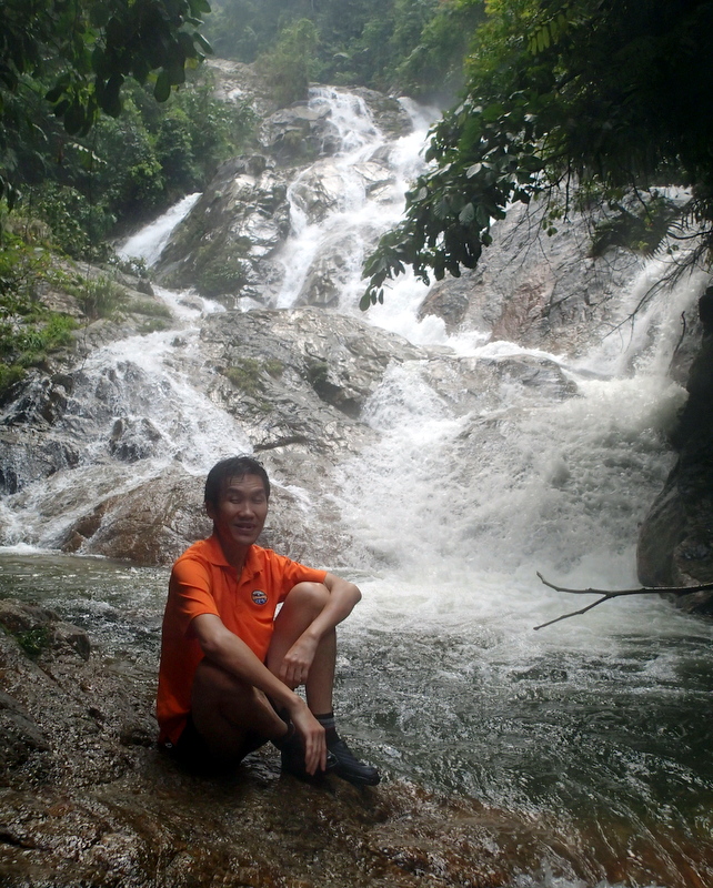
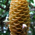
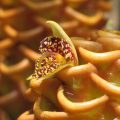
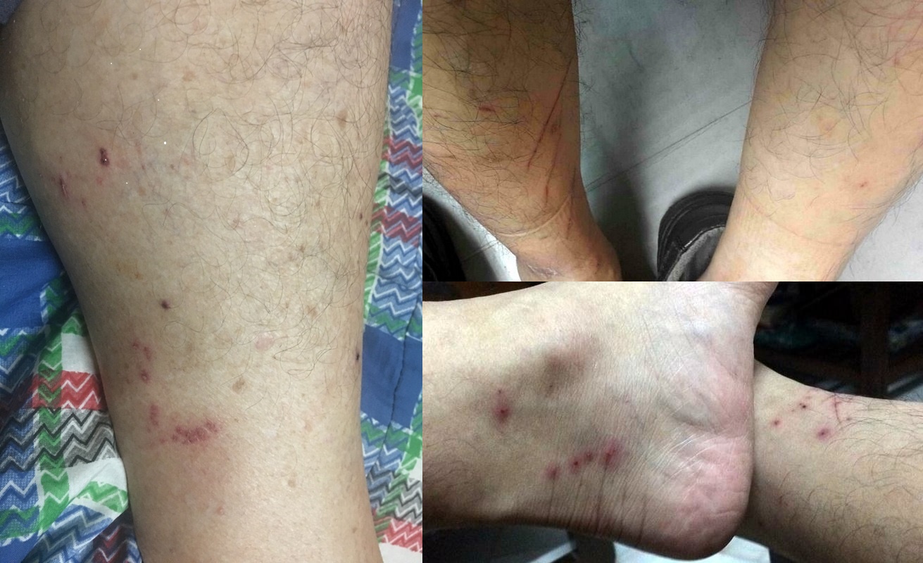
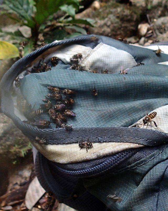
It was a steep scramble to reach the top of the fall and from there no problem to reach Lata Merjur, the upper fall. I would have enjoyed this impressive fall more, if there had not been big swarms of sweat bees. They are not aggressive, but I am allergic to bee and wasp stings, so I did not feel comfortable.
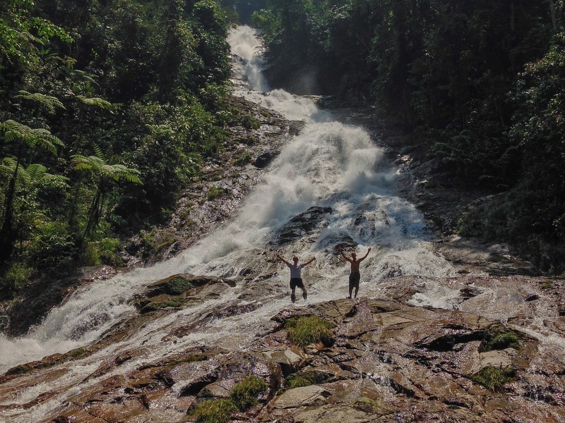
While I was watching the sweat bees around me, my friends were enjoying Lata Merjur. Because of the rainy season, the water flow was quite spectacular.
Here is a detailed report about the trip : Pos Dipang Revisited.
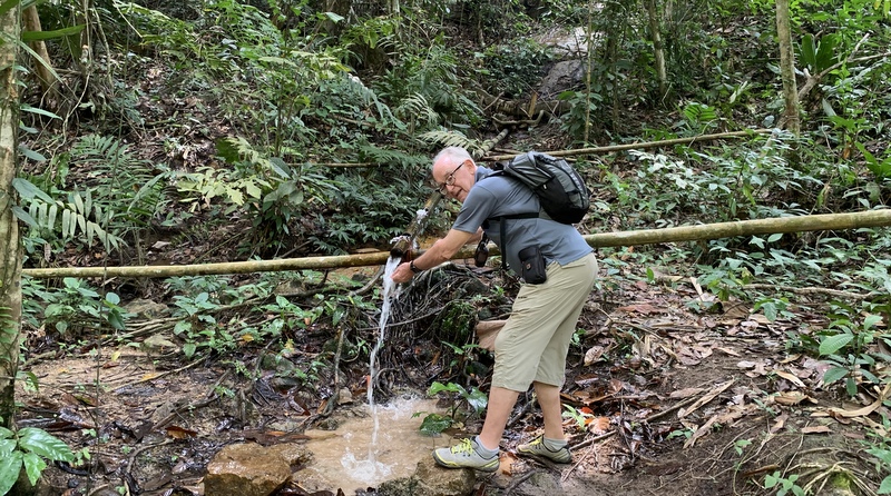
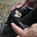
This has been my last camping trip. Main reason is the above-mentioned allergy. I always carry an Epipen, but still I am reluctant now to venture deep into the jungle. Besides, I am getting older and less confident. But I am happy with these wonderful experiences.